
A form of ID (driver’s license, passport), payment method (cash, EFTPOS, or credit card), and optionally a camera and extra food and water.
Tours around What do I need to bring with me







Frequently asked questions
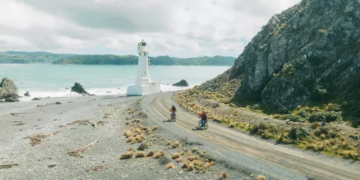
It’s approximately 7km to the bottom Pencarrow Lighthouse, taking about 45 minutes on a Comfort Mountain Bike, and about 20 minutes on an eBike.
The main coast trail is flat from Wildfinder Pencarrow to Baring Head. However, accessing the top Pencarrow Lighthouse, lakes, or Baring Head involves some hills.
Closed shoes (e.g., sneakers), shorts or tight-fitting pants, a t-shirt for riding, a fleece or light jacket for resting, and waterproofs in case of rain.
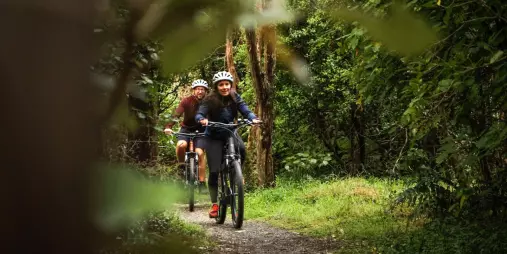
A reliable mountain or hybrid bike with front suspension and at least 2.0” wide tires is recommended. Ensure the bike is in good condition.
Due to the trail’s varied terrain, it’s recommended to carry a pump and spare tube, clothing suitable for changing weather conditions (including a light jacket), closed shoes, and sufficient food and water, especially for the Wild Coast section.
eBikes are suitable for the trail and can make the ride more accessible, especially for longer distances or challenging sections. Ensure your eBike is fully charged and consider carrying a spare battery if possible.
The official start point is in Petone, next to the wharf. However, many riders prefer starting from Days Bay, accessible via ferry from Wellington CBD or by shuttle.
The trail can be ridden year-round. Each season offers different experiences:
- Summer: Warm weather, but can be windy.
- Autumn and Spring: Variable conditions.
- Winter: Cooler temperatures, potentially calmer winds, and clear views over the Cook Strait to the Kaikoura Ranges.
The trail varies in difficulty:
- Days Bay to Maymorn: Grade 2 (easy)
- Maymorn to Cross Creek: Grade 2–3 (easy–intermediate)
- • Cross Creek to Ocean Beach: Grade 3 (intermediate)
- • Ocean Beach to Orongorongo: Grade 3–4 (intermediate–advanced)
- • Orongorongo to Days Bay: Grade 3 (intermediate)
The official trail is 115km. Most riders complete it over 2 to 5 days, depending on fitness and available time.
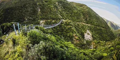
The Remutaka Cycle Trail is a 115km network from Petone to Orongorongo. The Remutaka Incline Trail (also known as the Remutaka Rail Trail) is a 25km section from Maymorn to Cross Creek.
Yes, public toilets are available at various points, though facilities are limited between Cross Creek and the Wild Coast. Refer to the trail maps for exact locations.
There are a few spots along the Hutt River Trail. It’s recommended to carry at least two filled bottles each day, especially since there are no water stops along the Wild Coast/Orongorongo sections.
Coverage varies:
- Hutt River Trail: Generally good.
- Remutaka Incline Trail: Around 75% coverage.
- Coastal sections: Limited coverage; Spark offers the best service in these areas.
It’s advisable to carry a secondary communication device, such as a Spot Tracker or EPIRB.
Yes, there are several accommodation options along the trail. It’s advisable to book in advance, especially during peak seasons.
Camping is permitted in designated areas. Ensure you camp responsibly and follow local guidelines.
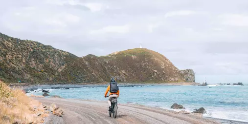
The Wild Coast section is the most challenging part of the trail, with rugged terrain and exposure to coastal weather conditions.
Sign up to our newsletter for special deals & exciting news.