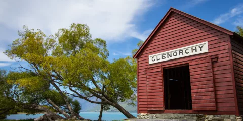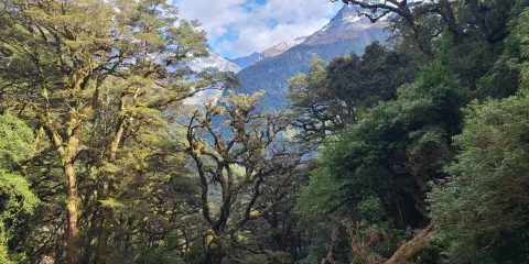
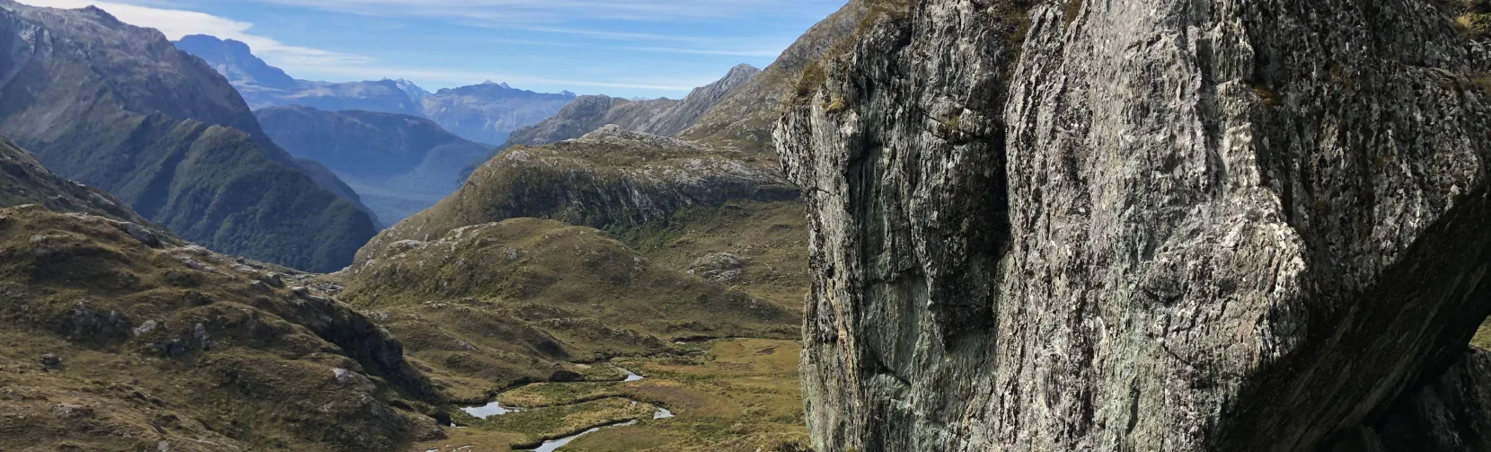
The Routeburn Track is a 33-kilometre Great Walk connecting Mount Aspiring and Fiordland National Parks, usually completed over two to three days, with three days the most common itinerary. The Great Walks season runs from November to April, when DOC huts and campsites must be booked. The track is one way, so walkers also need transport between Routeburn Shelter near Glenorchy and The Divide near Te Anau.
Routeburn Track Route and Hiking Highlights
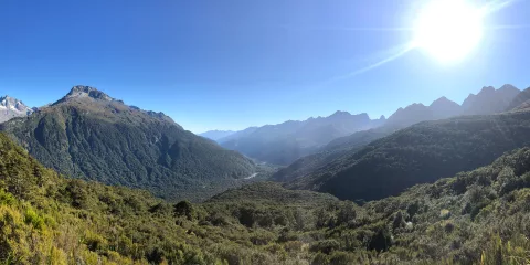
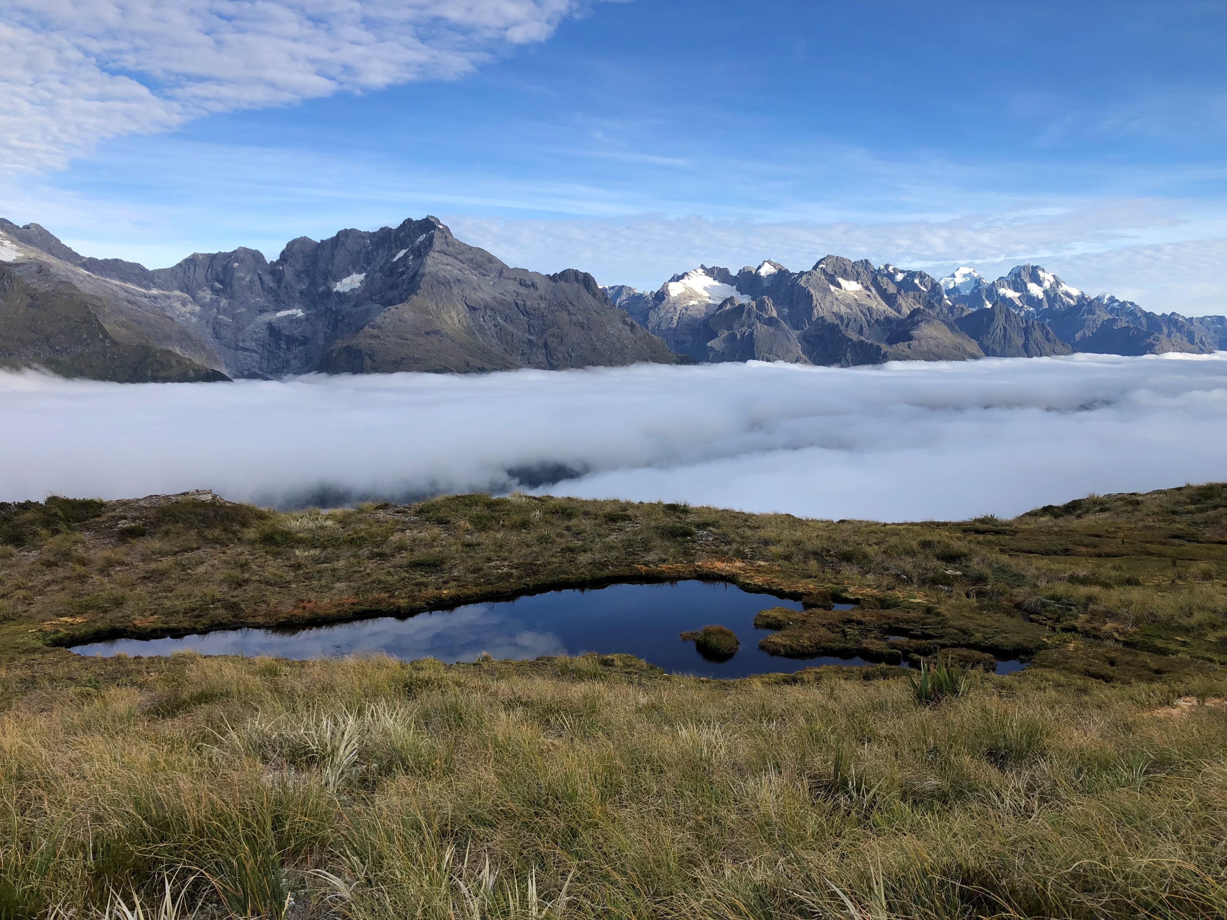
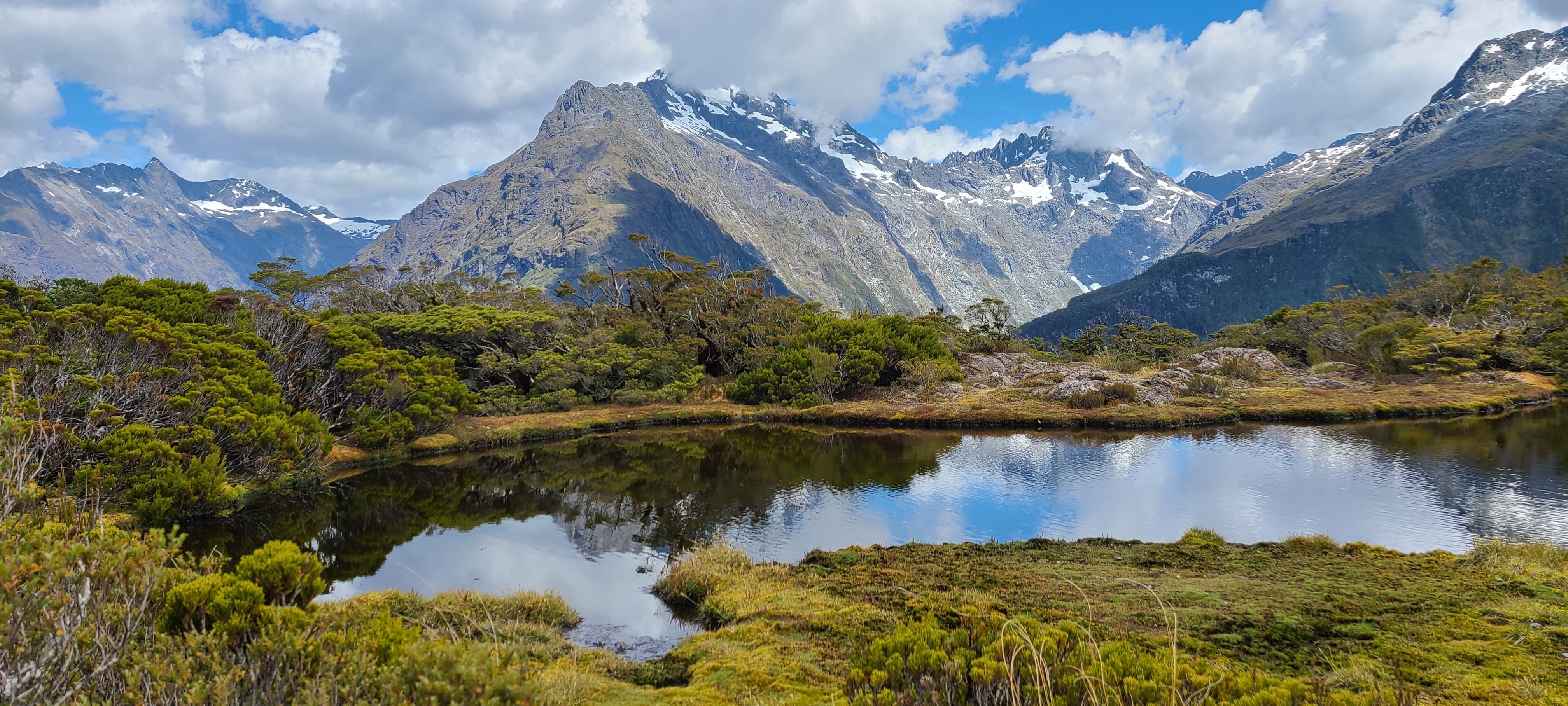
The Routeburn Track crosses 33 kilometres of alpine valleys, native beech forest and mountain ridges between Routeburn Shelter and The Divide. Highlights include Routeburn Falls, Lake Harris, Harris Saddle/Tarahaka Whakatipu, the Hollyford Face, Lake Mackenzie and views across the Darran Mountains, with optional side trips to Conical Hill and Key Summit.
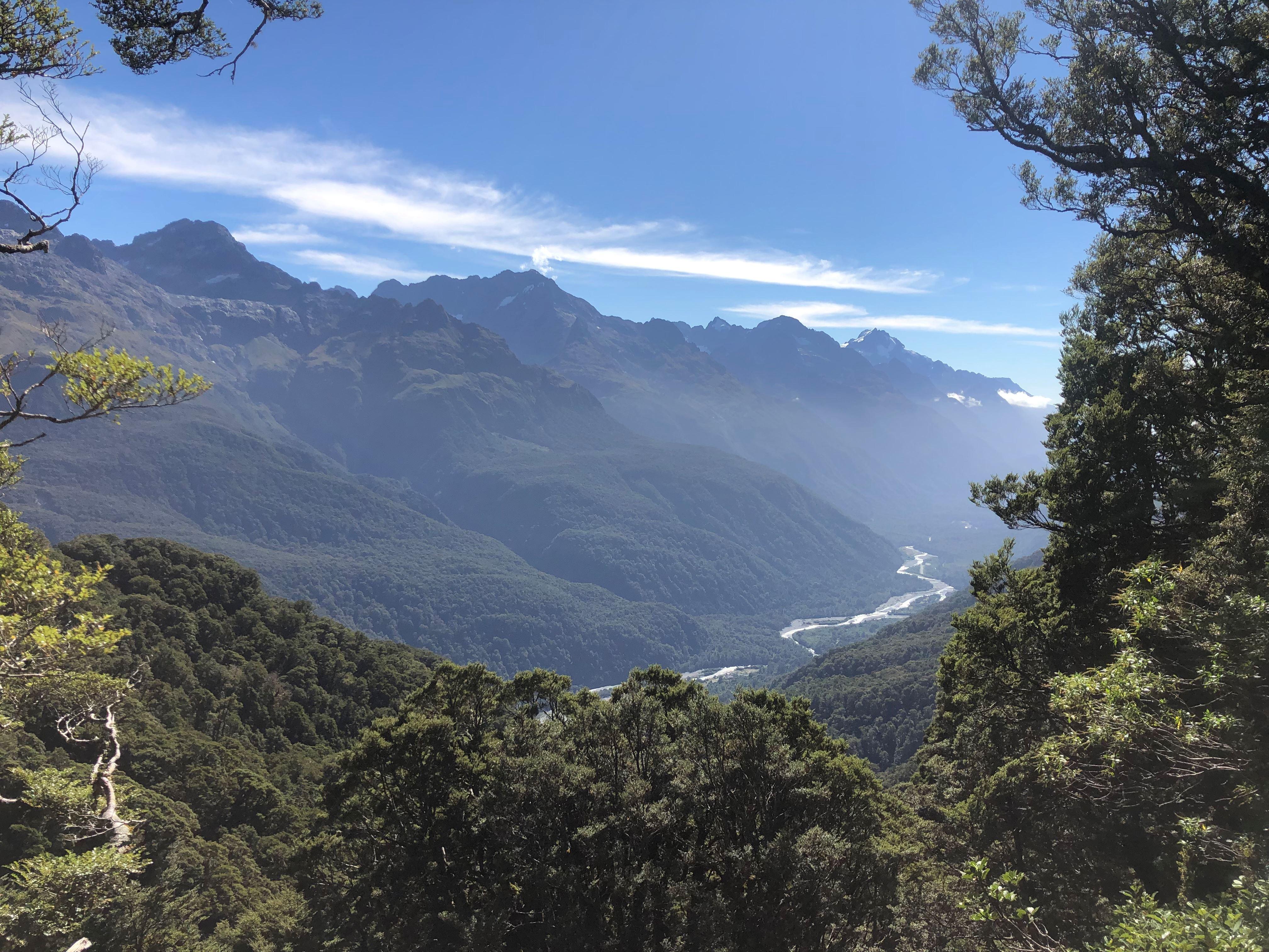
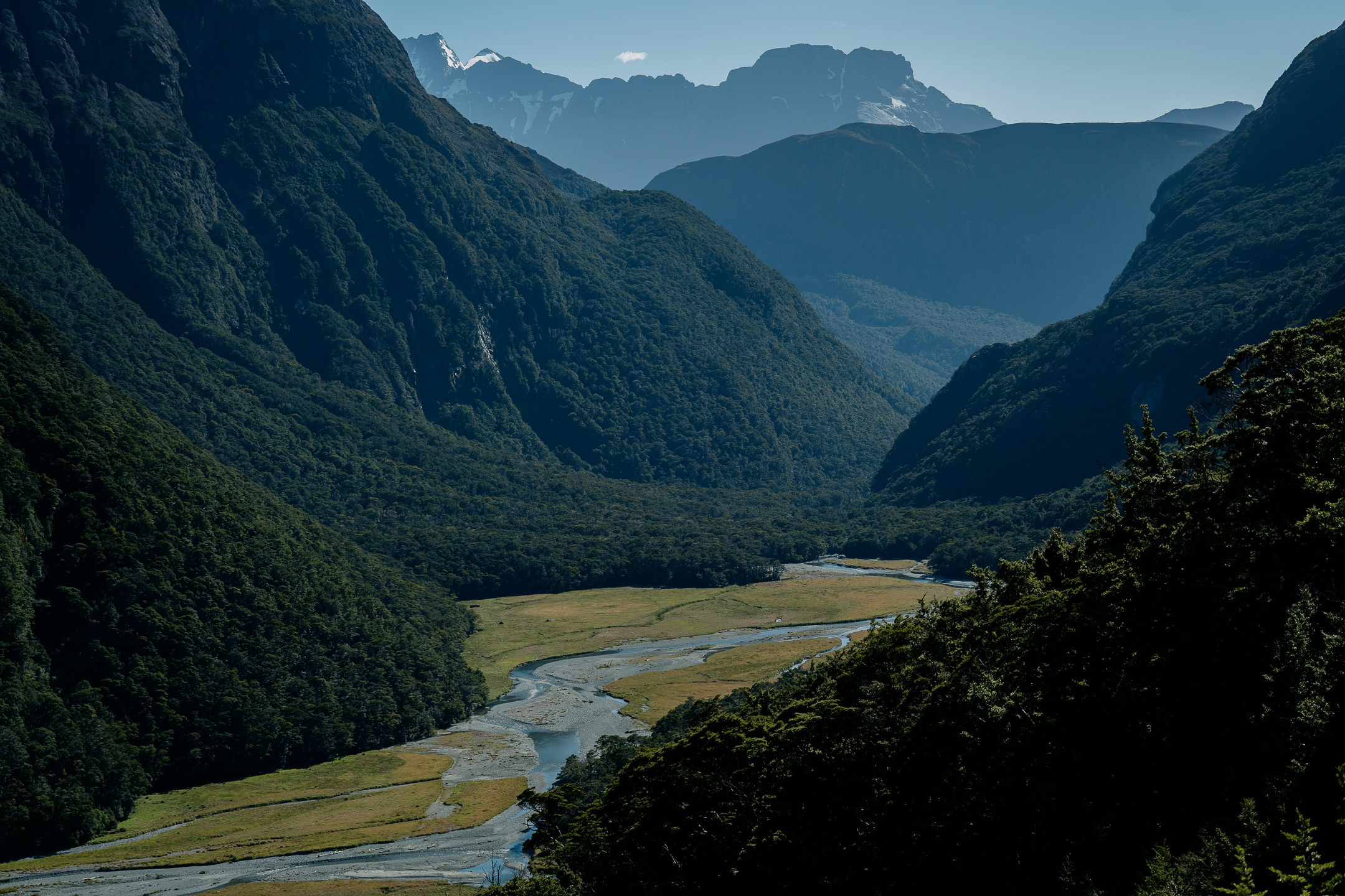
The Routeburn Track is one of New Zealand’s most celebrated Great Walks, connecting Fiordland and Mount Aspiring National Parks through some of the South Island’s most dramatic alpine landscapes. The scenery changes continually, from clear rivers and mossy beech forest to open tussock, waterfalls and exposed mountain terrain.
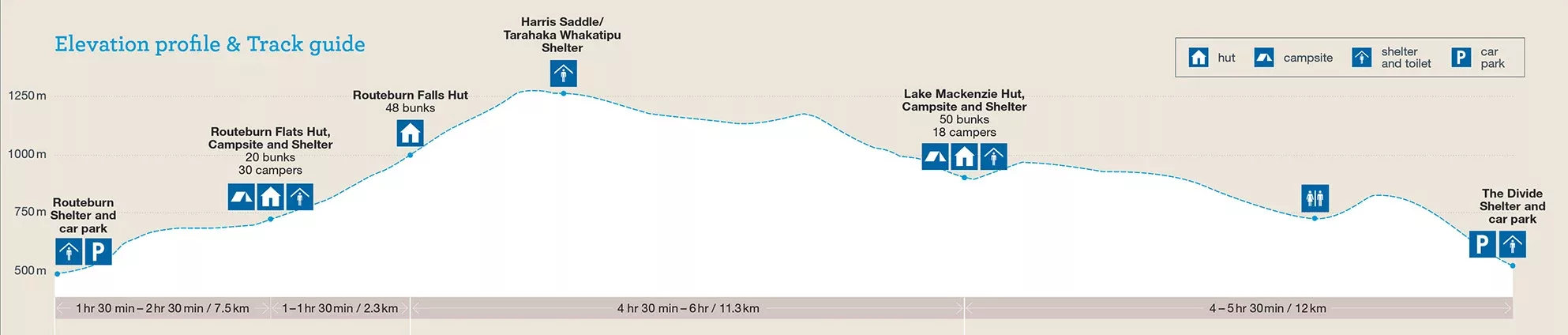
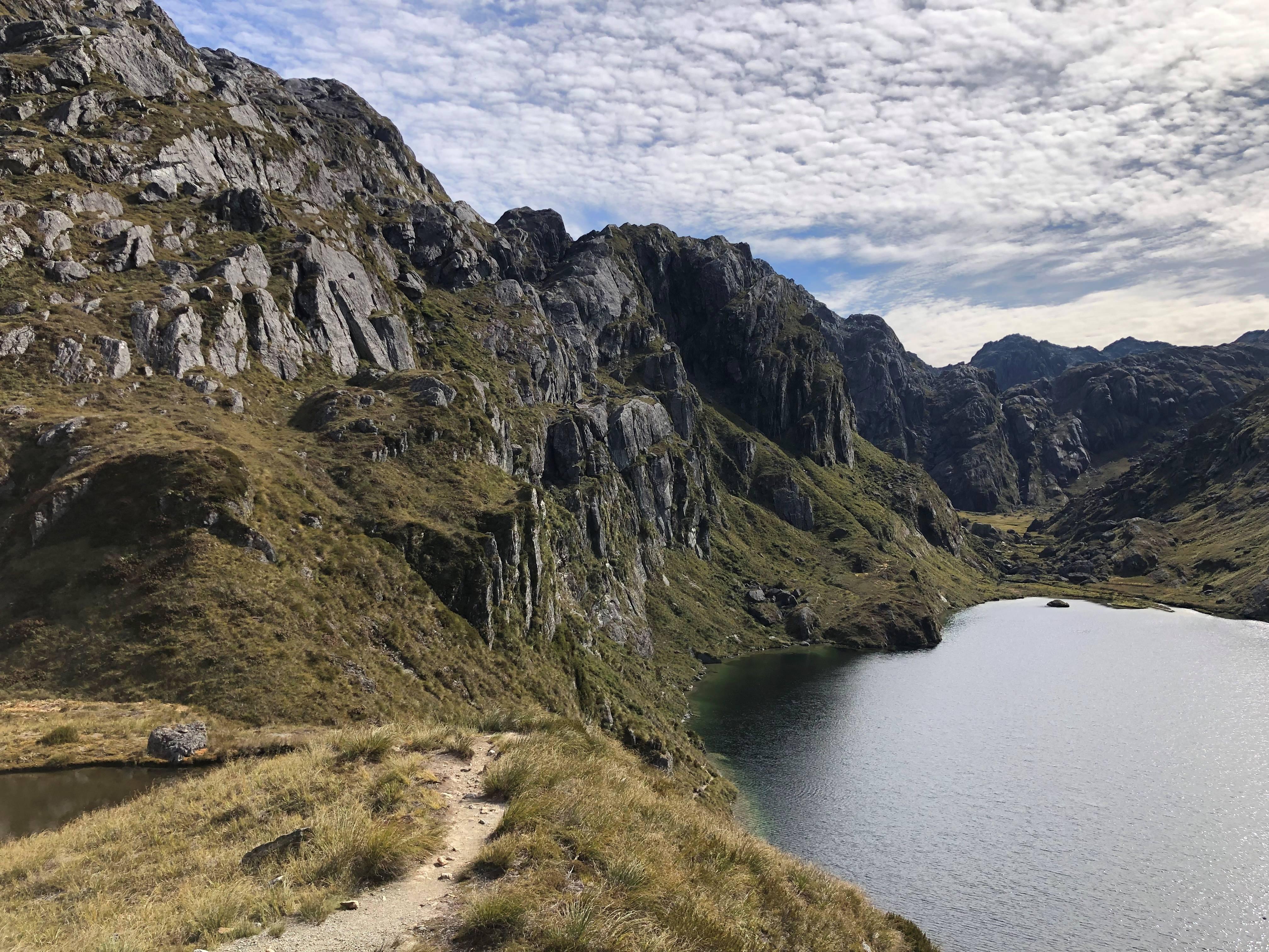
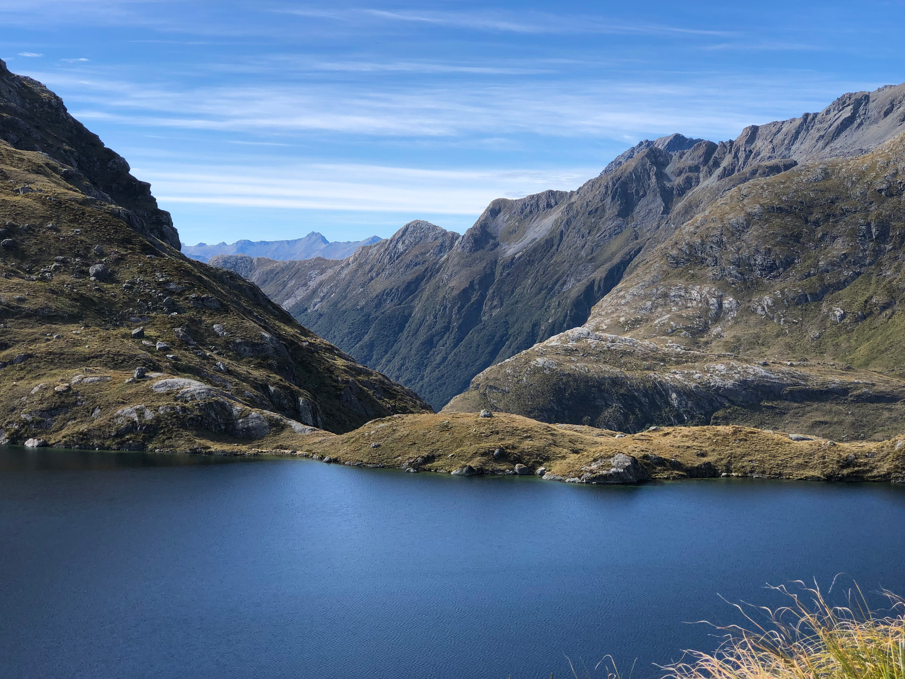
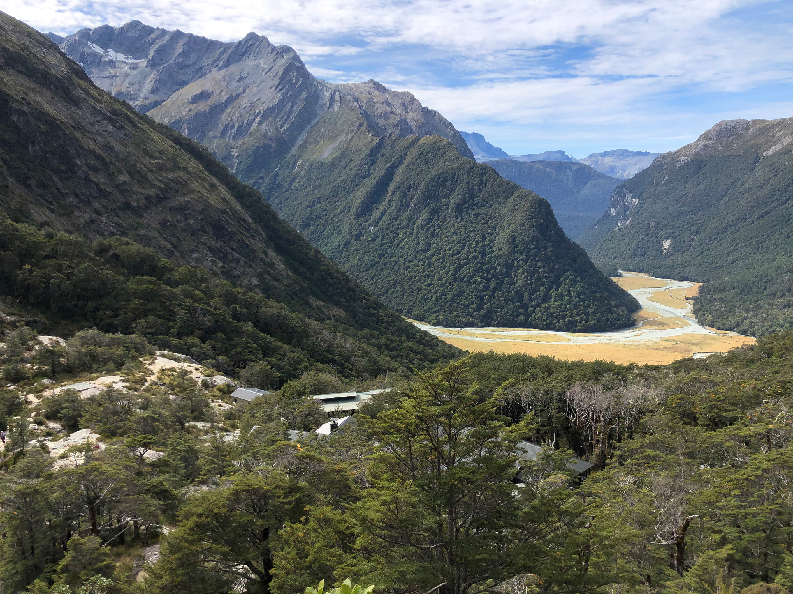
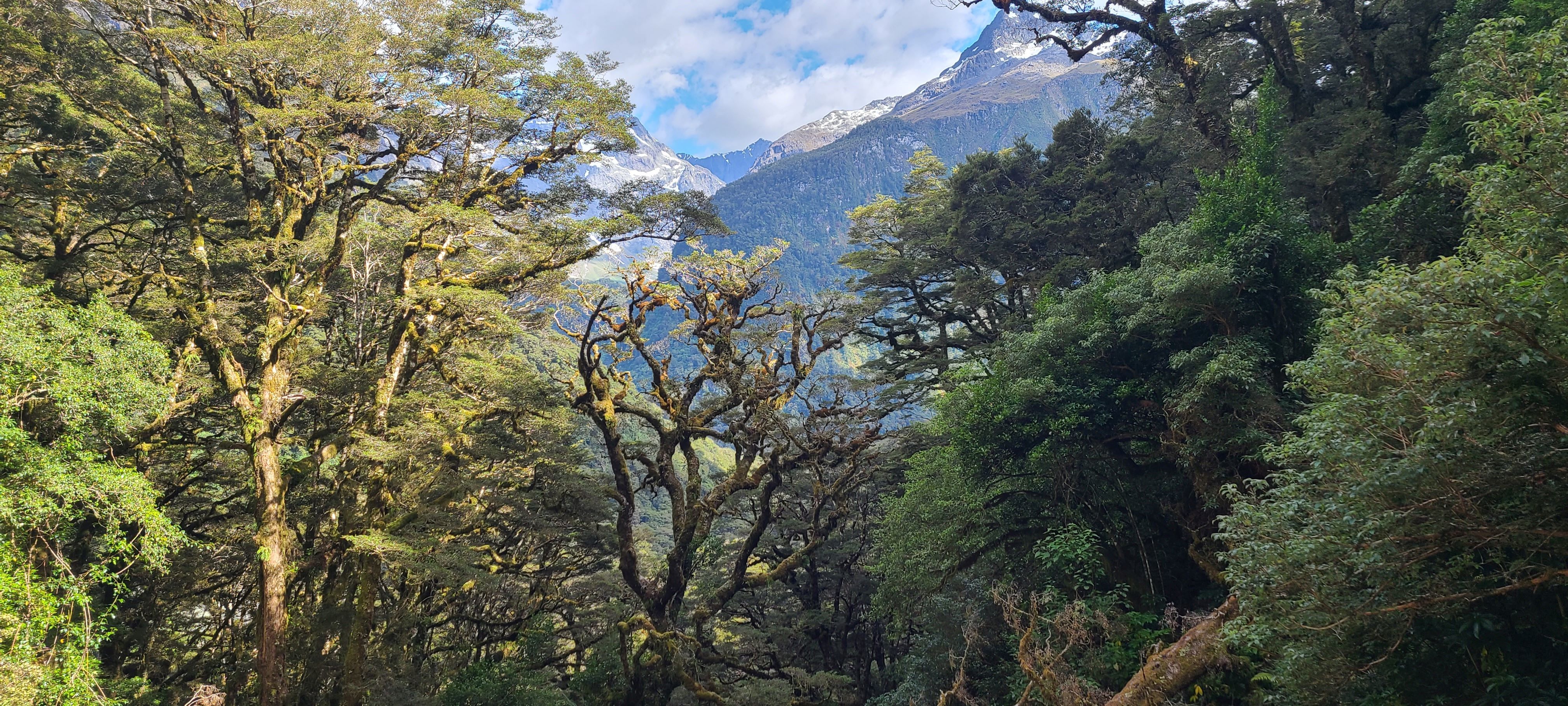
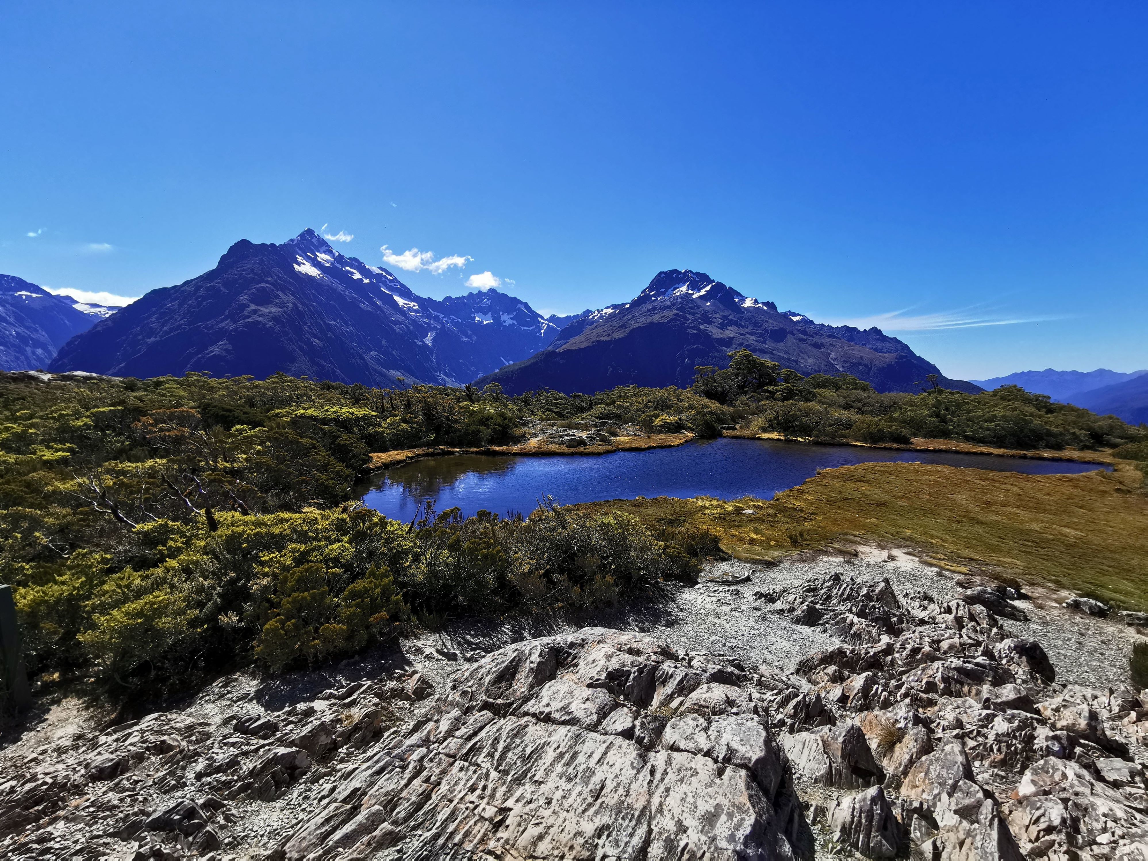
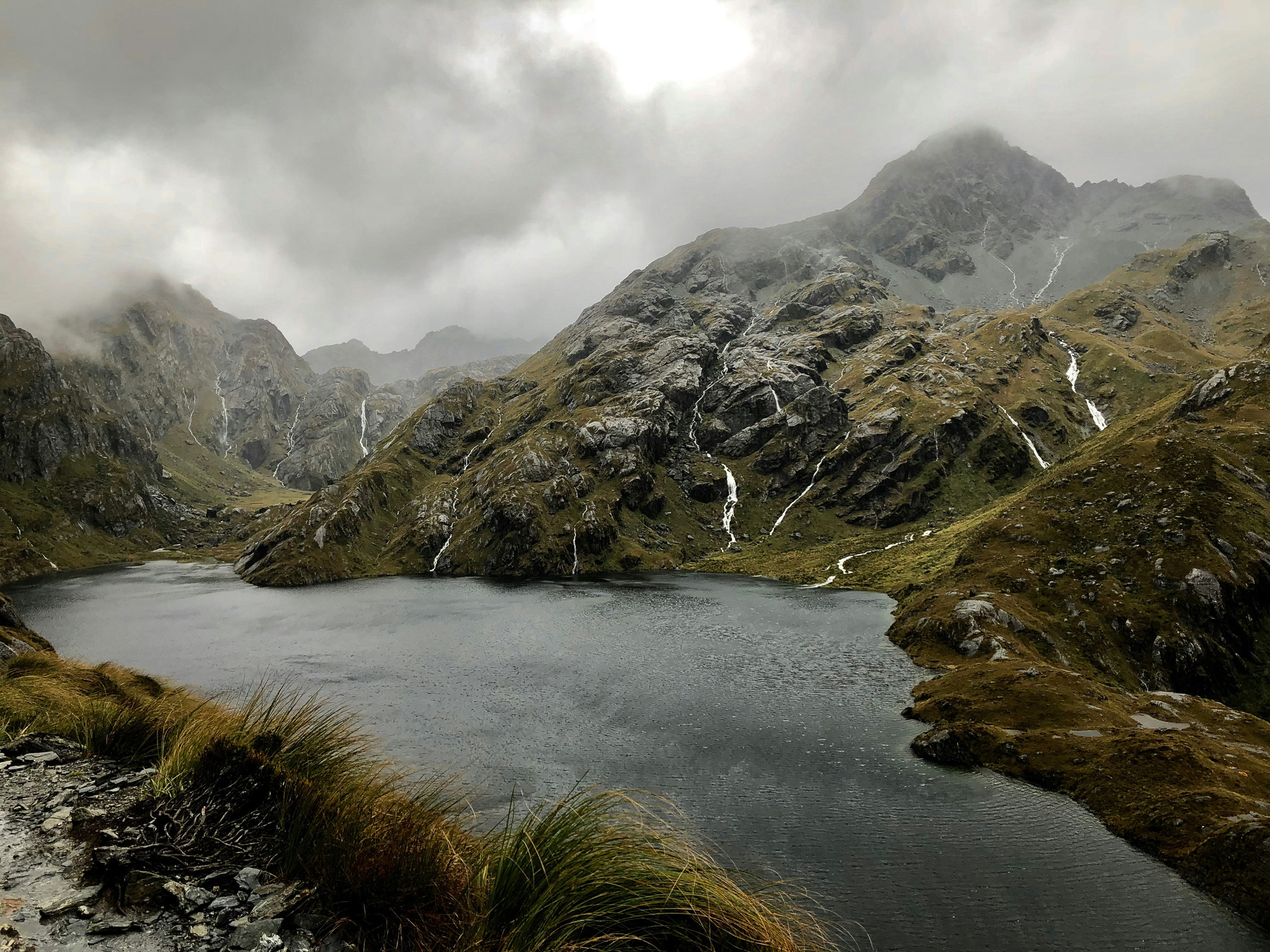
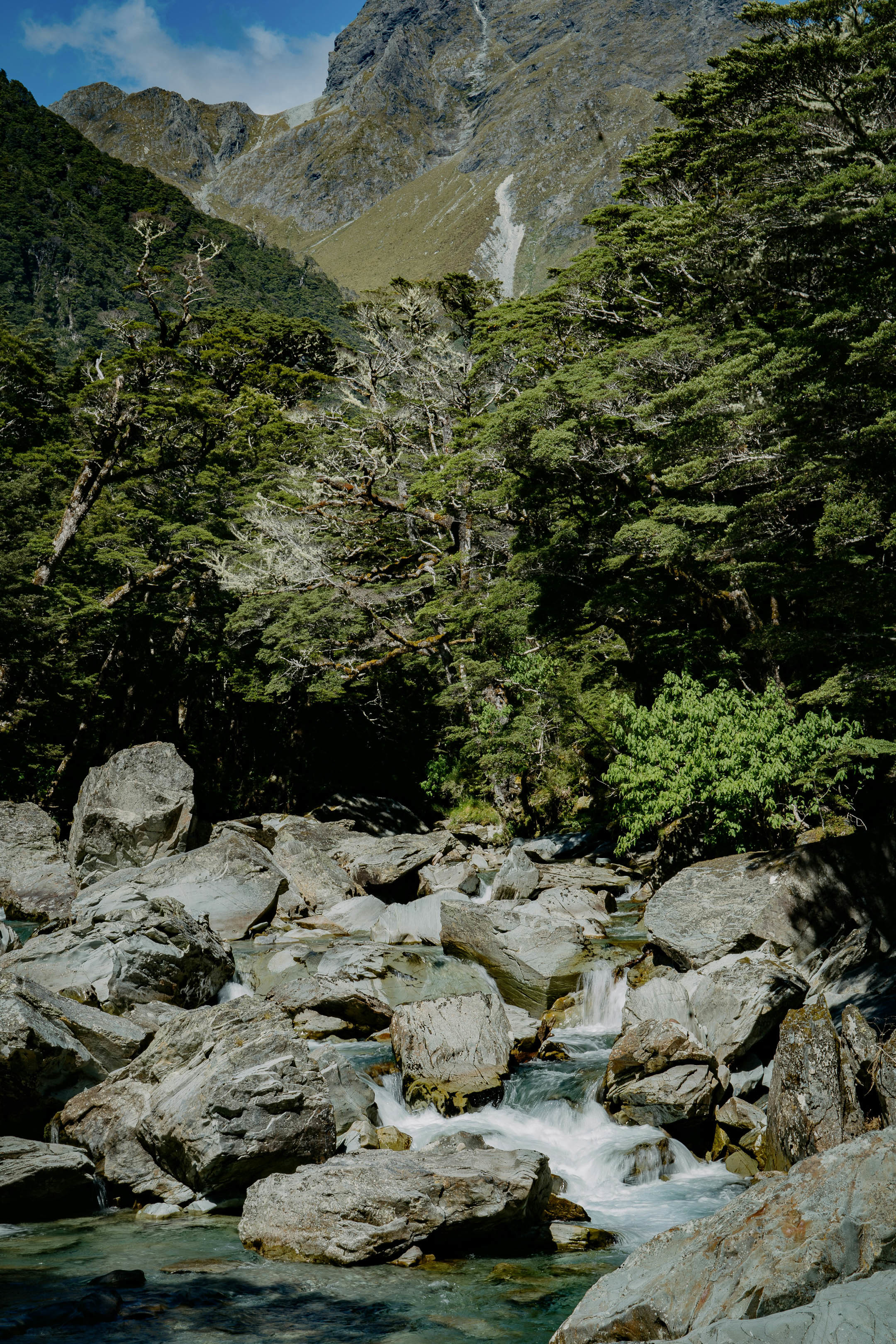
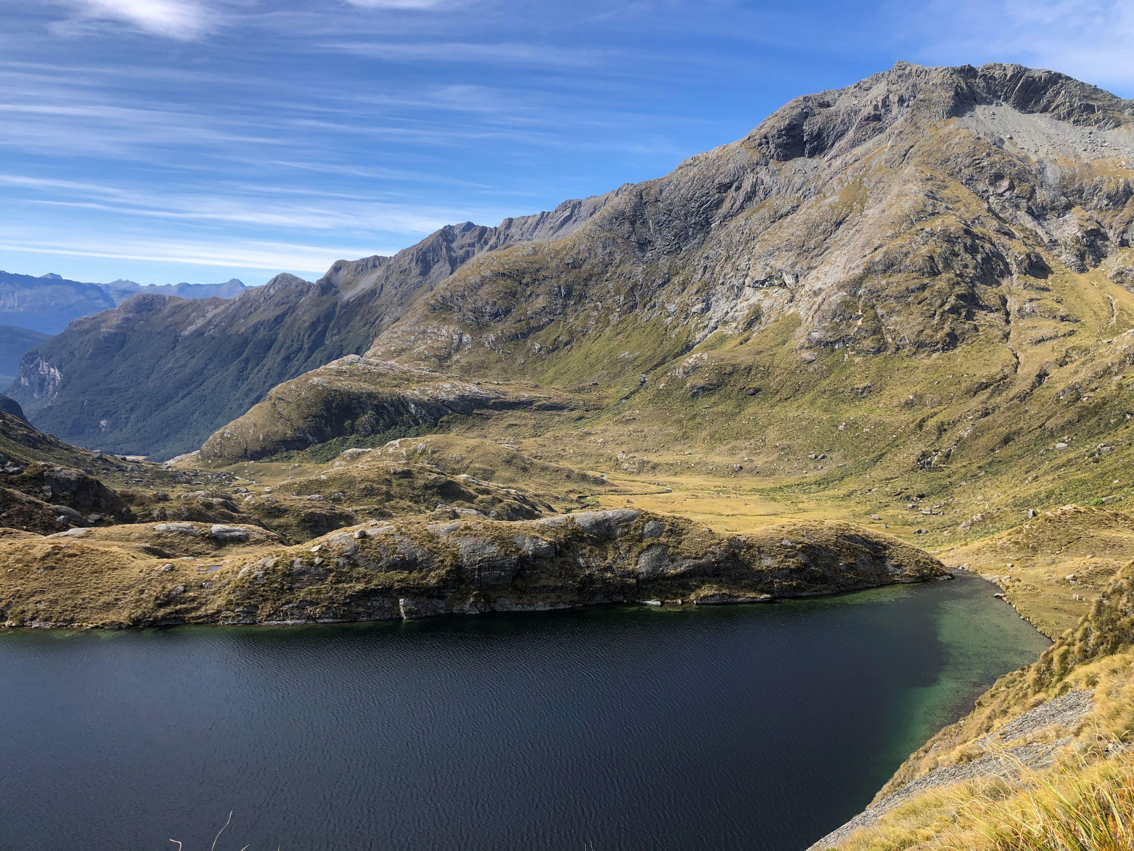
Starting from the Routeburn Shelter side, the trail initially follows the clear waters of the Route Burn before climbing through beech forest towards Routeburn Falls. Above the bushline, the landscape opens towards Lake Harris and Harris Saddle/Tarahaka Whakatipu, the highest point on the main track at 1,255 metres.
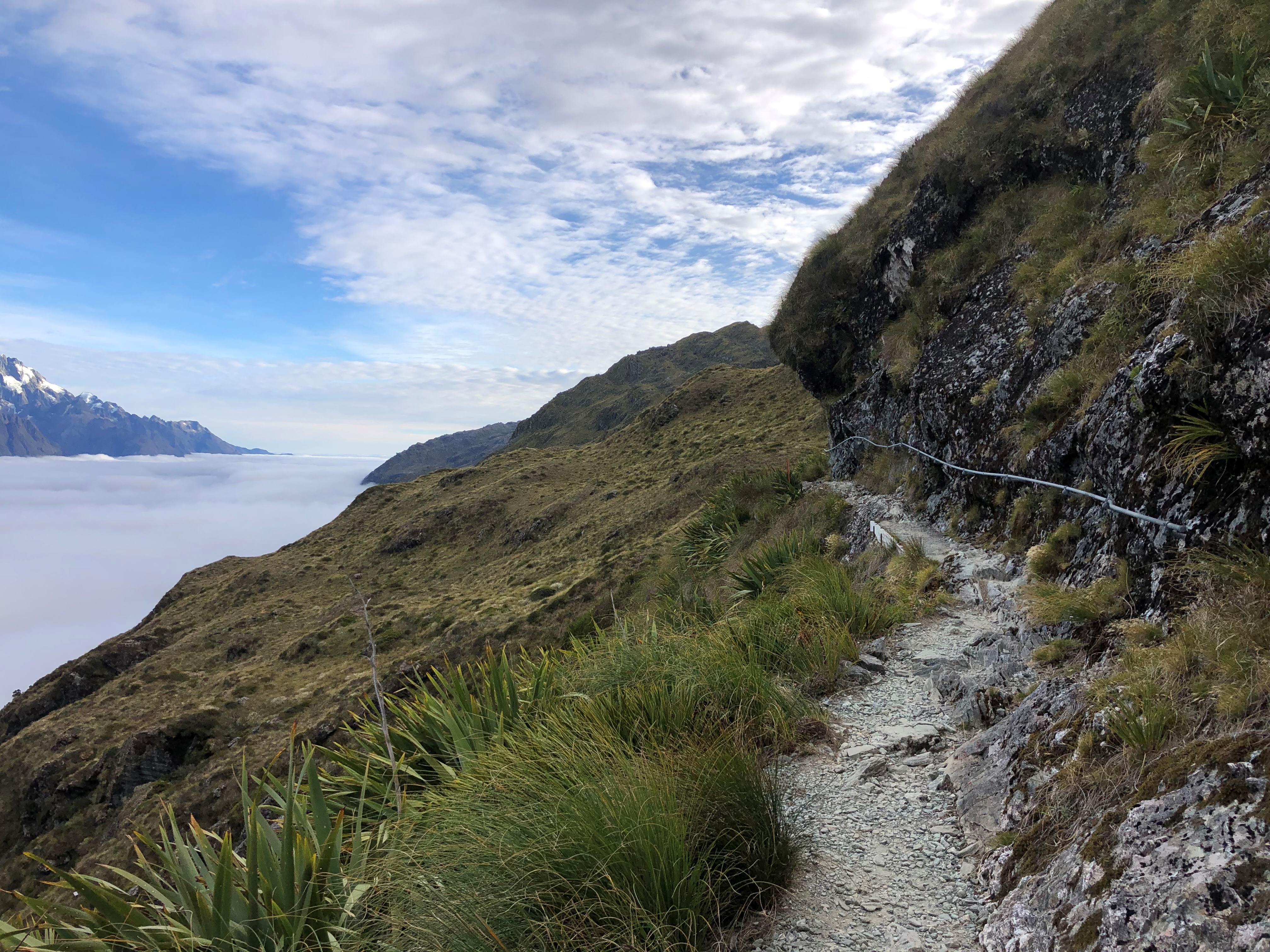
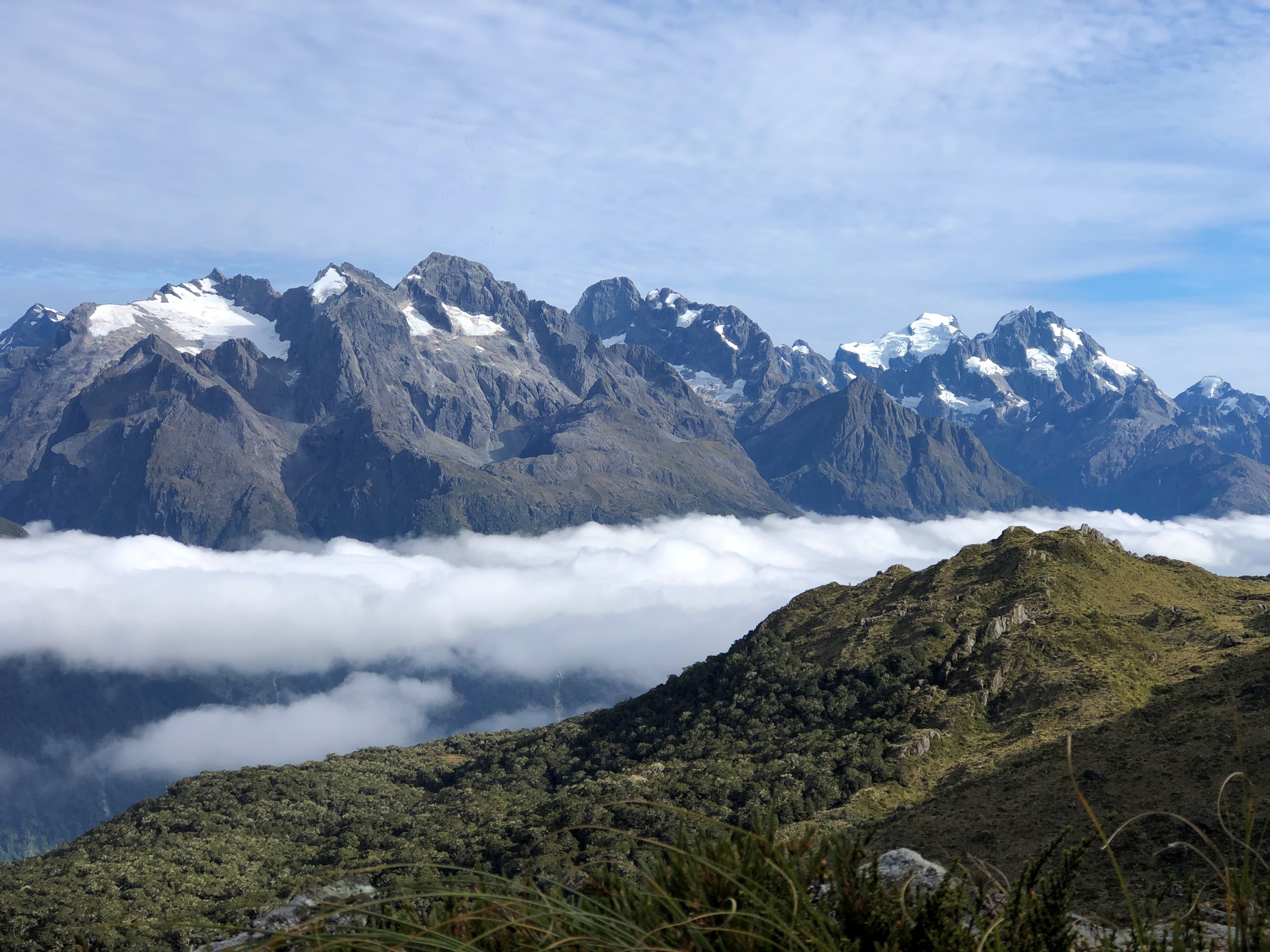
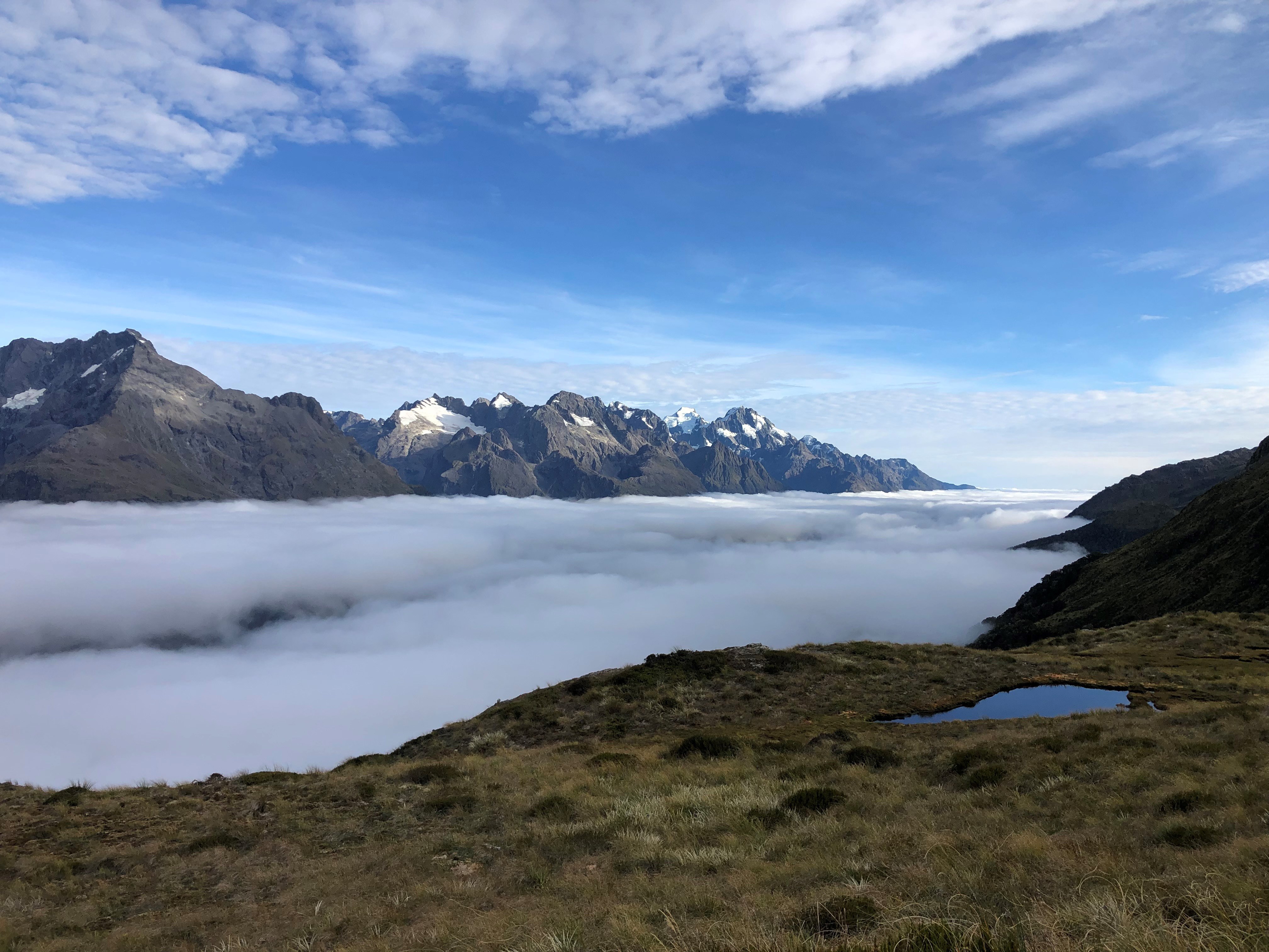
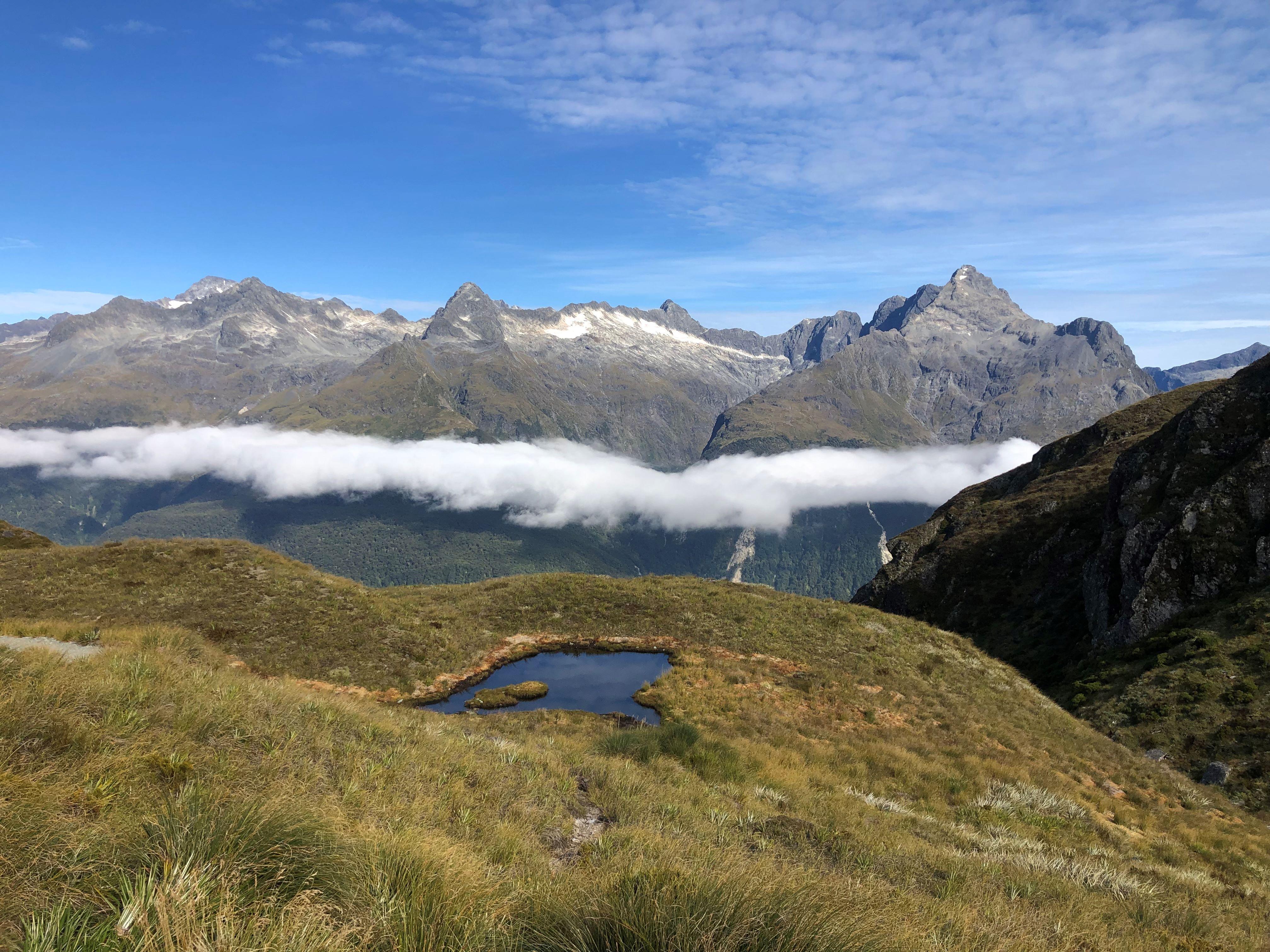
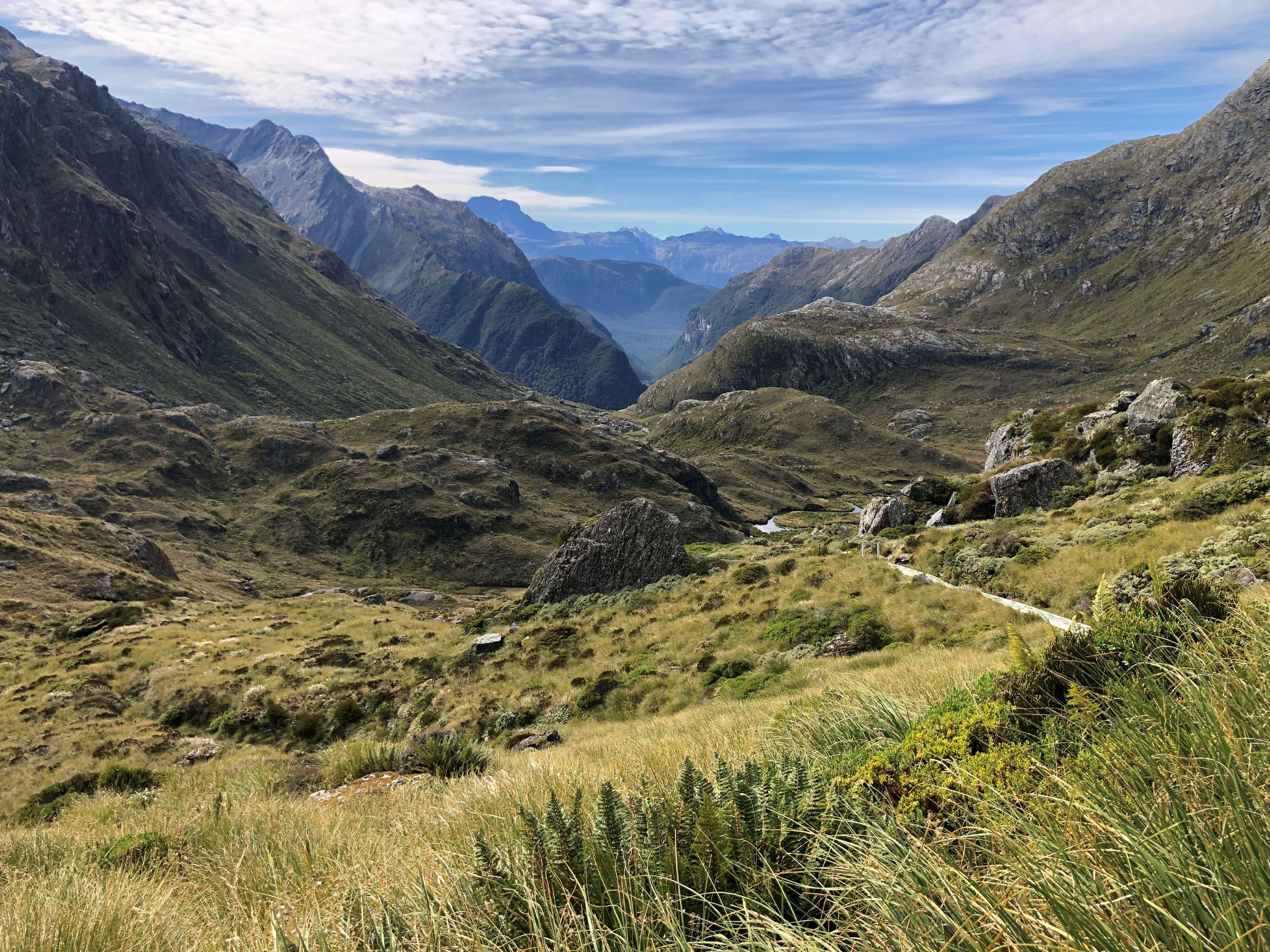
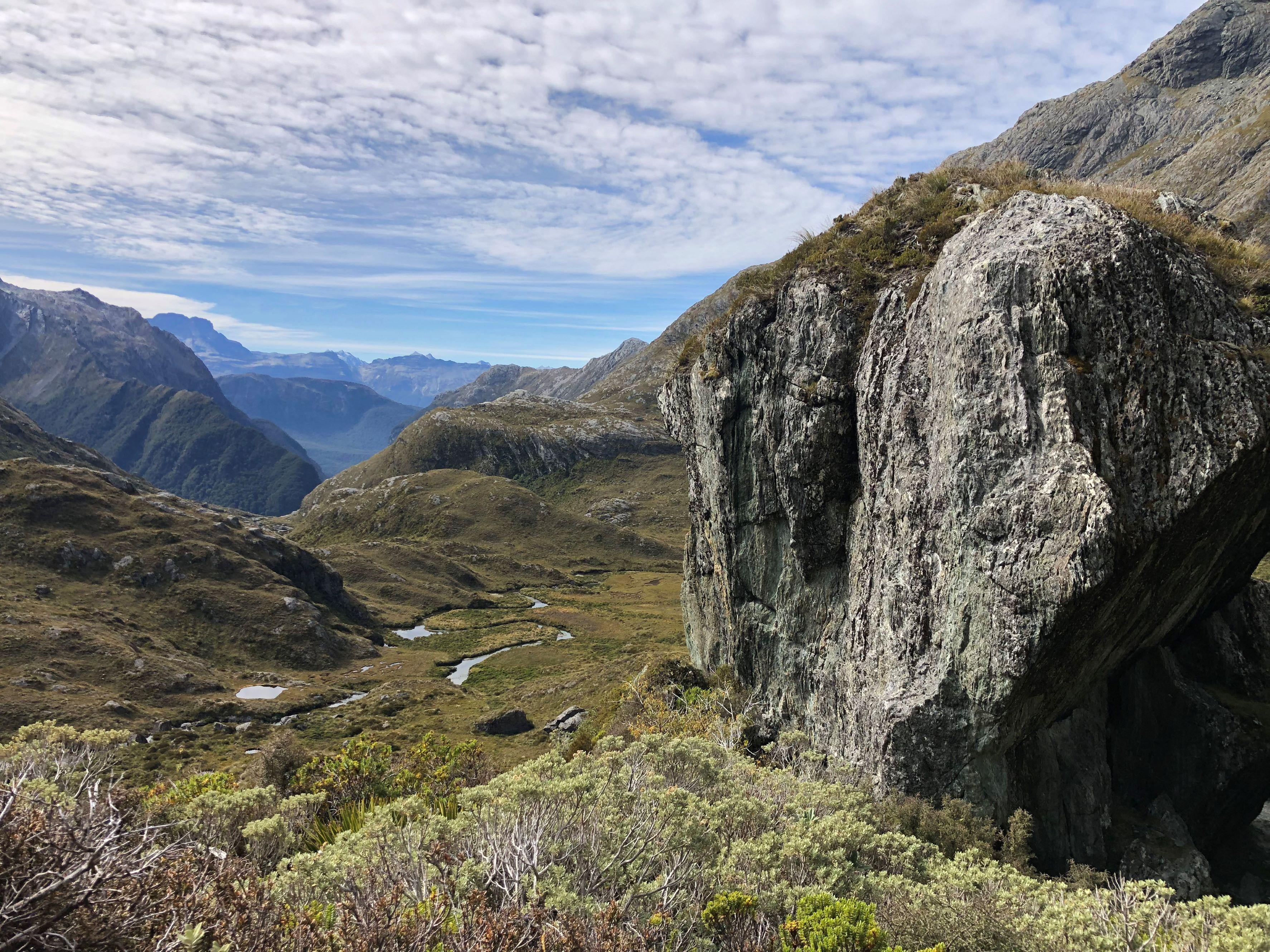
From the saddle, walkers traverse the exposed Hollyford Face with broad views towards the Darran Mountains before descending to Lake Mackenzie. The final section passes Earland Falls and Lake Howden before reaching the Key Summit turn-off and continuing through silver beech forest to The Divide.
Highlights include:
- Route Burn and Routeburn Flats
- Routeburn Falls
- Lake Harris
- Harris Saddle/Tarahaka Whakatipu
- Hollyford Valley and Darran Mountain views
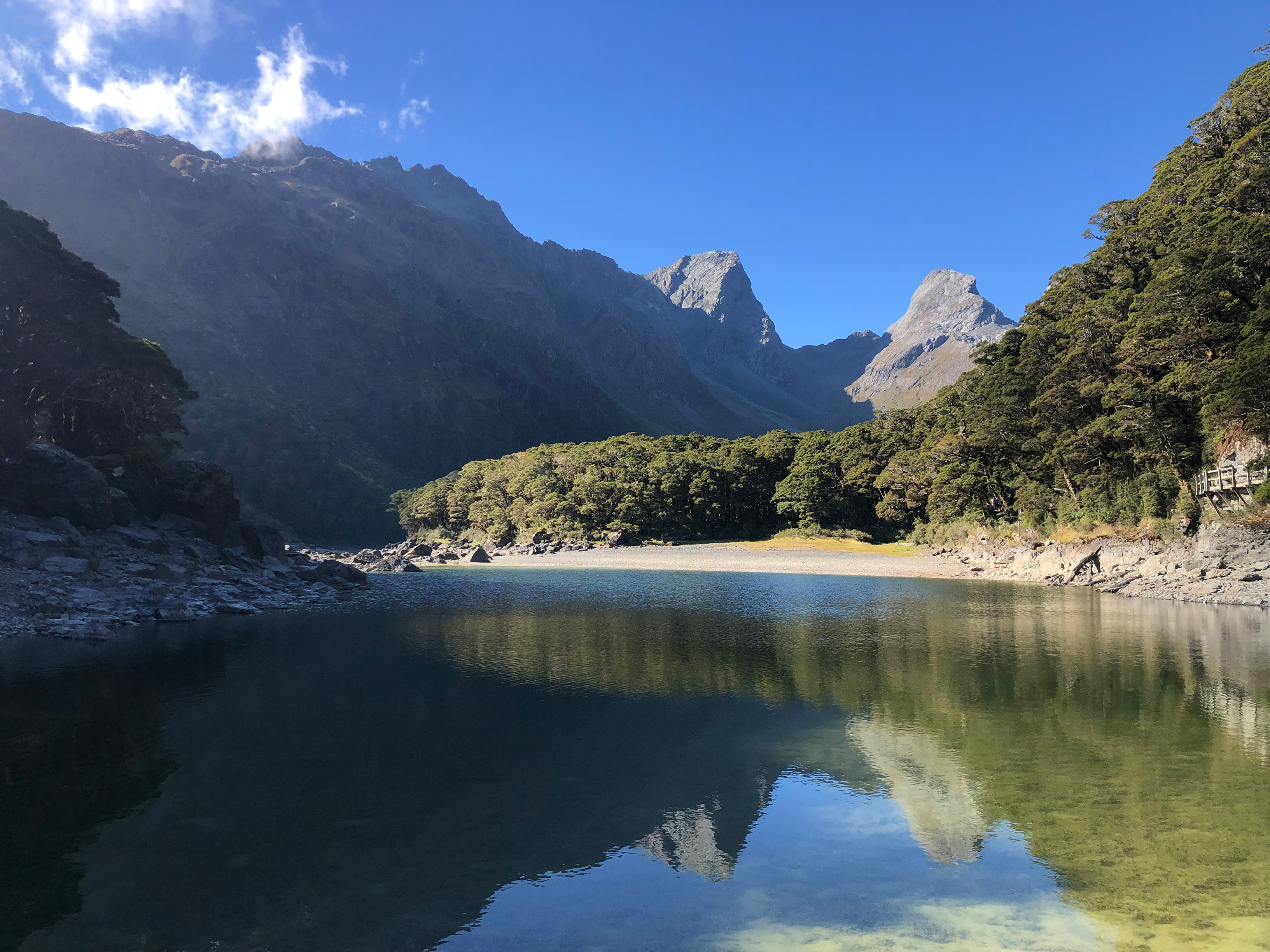
- Lake Mackenzie
- Earland Falls
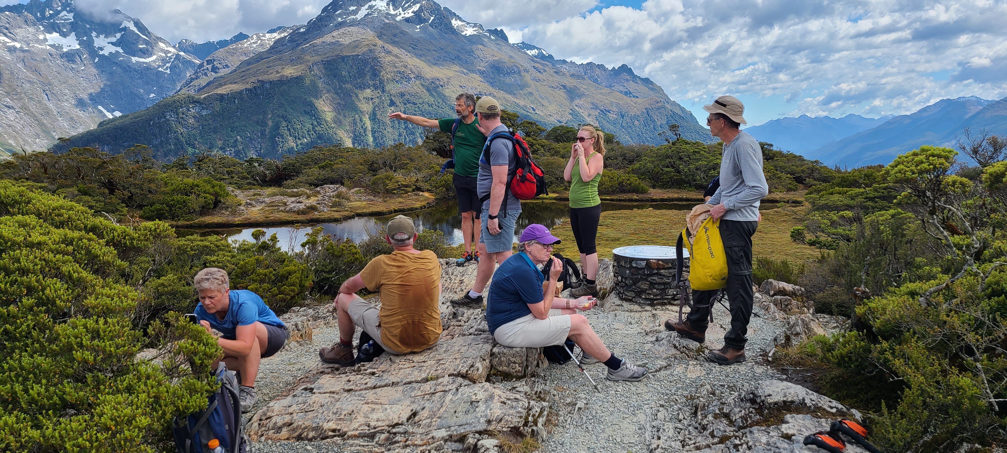
- Key Summit side trip
- Native beech forest and alpine vegetation
The track can be walked in either direction, although the daily experience and transport arrangements will differ depending on where you start.
Routeburn Track 2-Day, 3-Day and 4-Day Walks Compared
The Routeburn Track can be experienced on a day walk or completed in full over two or three days. Three days is the standard option for most independent walkers and the main Routeburn Track package offered by Go New Zealand. A two-day itinerary suits fit walkers wanting to complete the full track faster, while day walks from Te Anau explore the Fiordland end without requiring an overnight hut stay.
| Routeburn option | Walking pace | Best for | What to expect |
|---|---|---|---|
| 1-day walk | Varies | Te Anau visitors and travellers with limited time | Explore part of the Routeburn from The Divide/Milford Road side; does not complete the full track |
| 2-day walk | Fast | Fit, experienced walkers with limited time | Complete the full 33 km track with longer walking stages |
| 3-day walk | Standard | Most independent walkers | Complete the full track at a balanced pace, normally staying at Routeburn Falls and Lake Mackenzie huts |
The three-day walk is the best choice for most travellers completing the full Routeburn Track, providing a more balanced pace through the major alpine sections. The two-day option covers the same track with longer walking stages, while the one-day option provides a taste of the Routeburn for visitors who do not have time for the complete Great Walk.
3-Day Routeburn Track Itinerary
The classic three-day Routeburn Track itinerary divides the full route into manageable stages, with overnight stays at Routeburn Falls Hut and Lake Mackenzie Hut. This is the most common way to complete the track and provides a good balance between walking time and opportunities to stop at major viewpoints along the route.
Day 1: Routeburn Shelter to Routeburn Falls Hut
- Distance: approximately 9.8 km
- Walking time: around 2.5–4 hours
- Accommodation: Routeburn Falls Hut
- Highlights: Route Burn, swing bridges, Routeburn Flats and beech forest
The track begins beside the Route Burn (river) and follows the valley towards Routeburn Flats. From the flats, a steady climb through beech forest leads to Routeburn Falls Hut near the bushline.
Day 2: Routeburn Falls Hut to Lake Mackenzie Hut
- Distance: 11.3 km
- Walking time: around 4.5–6 hours
- Accommodation: Lake Mackenzie Hut
- Highlights: Lake Harris, Harris Saddle, Hollyford Face and alpine views
This is the main alpine day. The route climbs above the bushline and reaches Harris Saddle/Tarahaka Whakatipu at 1,255 metres before traversing the exposed Hollyford Face and descending towards Lake Mackenzie.
If weather and time allow, experienced walkers can add the steep side trip from Harris Saddle towards Conical Hill for wider views towards the Hollyford Valley and Tasman Sea.
Day 3: Lake Mackenzie Hut to The Divide
- Distance: 12 km
- Walking time: around 4–5.5 hours
- Highlights: Earland Falls, Lake Howden, Key Summit and beech forest
The final stage passes the 174-metre Earland Falls before continuing through forest towards Lake Howden. Near The Divide, walkers can add the Key Summit side trip before finishing on the Milford Road.
Independent Routeburn Track Packages, Huts and Bookings
Independent Routeburn Track walkers need to coordinate hut accommodation, transport between the two trailheads, food and hiking equipment before starting the track. Go New Zealand can combine these logistics into an independent walking package, allowing you to walk at your own pace while the key reservations and practical arrangements are organised in advance.
During the Great Walks season, there are three DOC huts and two campsites along the Routeburn Track. The huts are:
- Routeburn Flats Hut
- Routeburn Falls Hut
- Lake Mackenzie Hut
Most three-day walkers use Routeburn Falls and Lake Mackenzie huts, while Routeburn Flats can be incorporated into a longer itinerary. DOC requires hut and campsite bookings during the Great Walks season from 1 November to 30 April.
DOC hut facilities
During the serviced season, huts provide:
- Bunks and mattresses
- Heating
- Toilets
- Basic cooking facilities
- Solar-powered lighting
- Cold running water
- A resident DOC ranger
Walkers need to bring their own:
- Sleeping bag
- Food and snacks
- Cooking utensils
- Plates, cups and cutlery
- Personal hiking equipment
There are no showers, meals or bedding supplied at the DOC huts.
Go New Zealand Routeburn packages can take care of the more complicated parts of an independent walk, including DOC bookings, track transport or vehicle relocation, equipment hire and food provisions. Dietary requirements can also be accommodated on selected package options.
This is particularly useful on the Routeburn because the trailheads are on opposite sides of the Southern Alps. Booking the huts without securing suitable transport can leave you with an itinerary that is difficult to complete.
Routeburn Track Day Walks
You do not need to complete the full multi-day Routeburn Track to experience its forest, waterfalls and alpine views. Day walks are possible from both trailheads, with options ranging from short nature walks to longer hikes towards Routeburn Falls, Earland Falls or Key Summit. They are useful for travellers with limited time or those unable to secure Great Walk accommodation.
From the Routeburn Shelter side, walkers can follow the main track beside the Route Burn towards Routeburn Flats. The walk begins gently through beech forest and crosses swing bridges before reaching the open flats surrounded by mountain scenery.
Fitter day walkers can continue beyond Routeburn Flats towards Routeburn Falls before returning the same way.
From The Divide, several shorter walks use the southern end of the Routeburn:
- Key Summit Track: a popular alpine viewpoint reached via a side trail from the main Routeburn
- Lake Howden: a forest walk towards the former Lake Howden Hut site
- Earland Falls: a longer day walk reaching the 174-metre waterfall
- Routeburn Nature Walk: a short option for travellers wanting an easier introduction
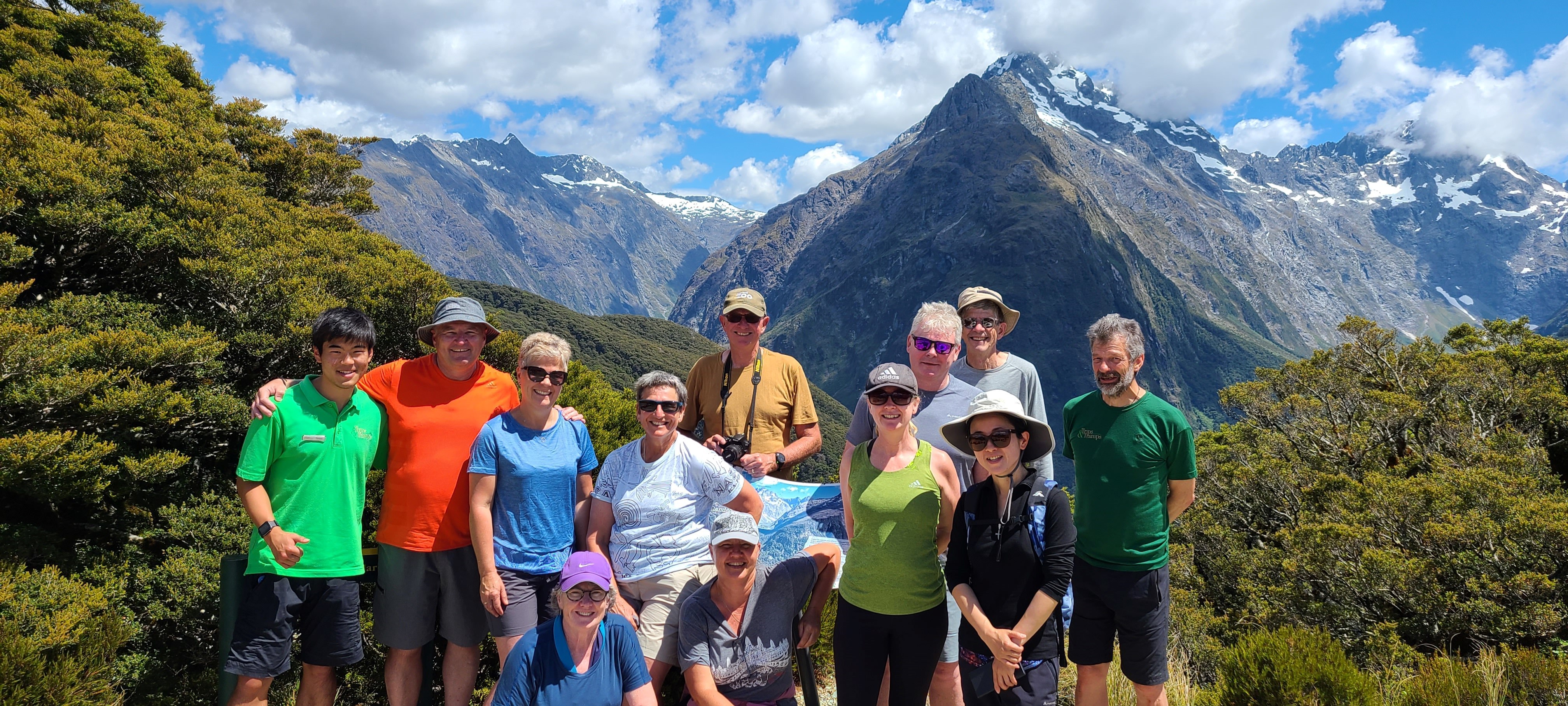
Key Summit is particularly popular because it reaches an alpine environment without requiring a full multi-day trek. In good weather, the viewpoint looks across the Hollyford Valley and Darran Mountains.
Day walks from the Te Anau side also fit naturally into a Fiordland itinerary and can be combined with transport along the Milford Road.
Walkers should still carry waterproof clothing, warm layers, water and food. Fiordland weather can change quickly even on shorter outings.
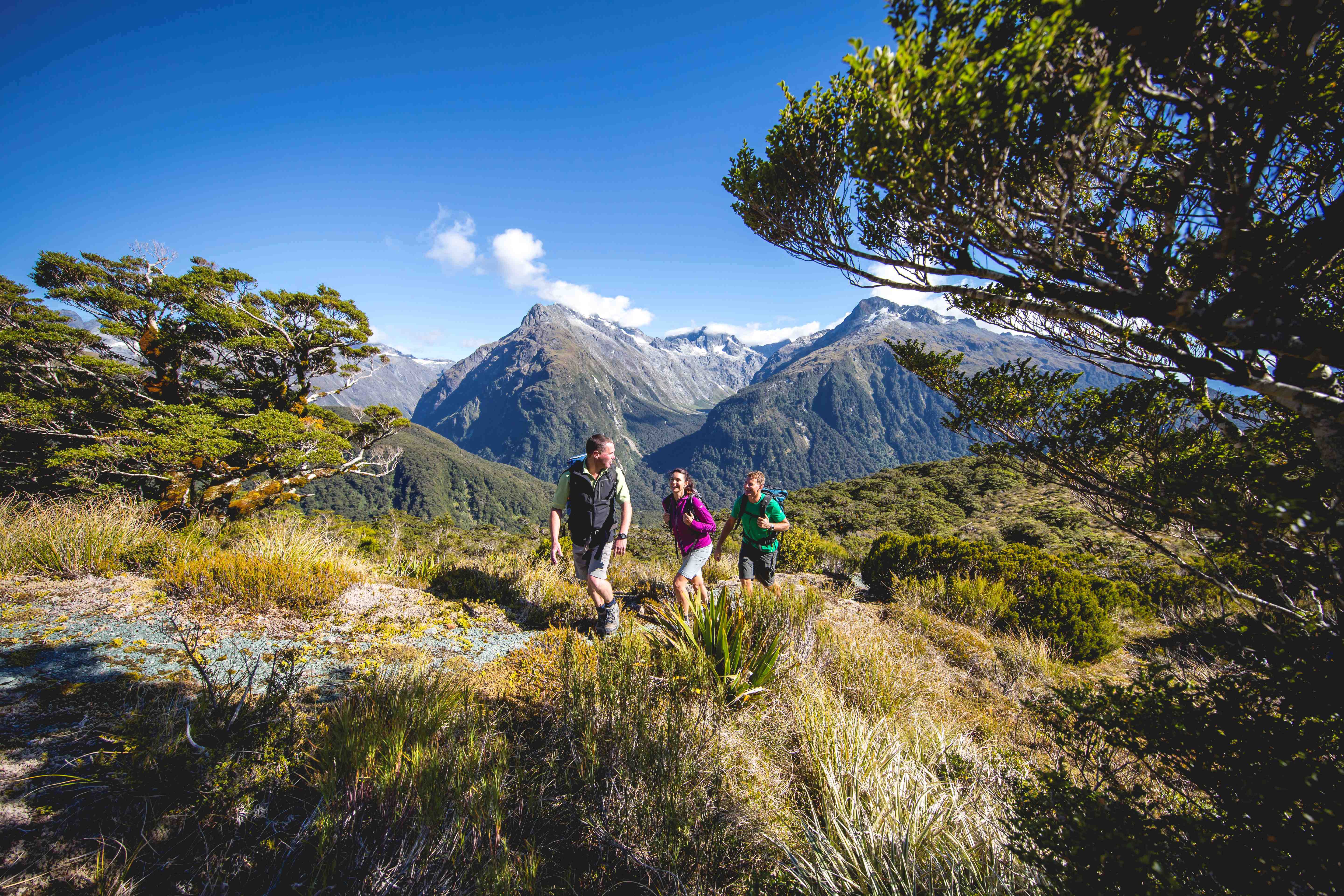
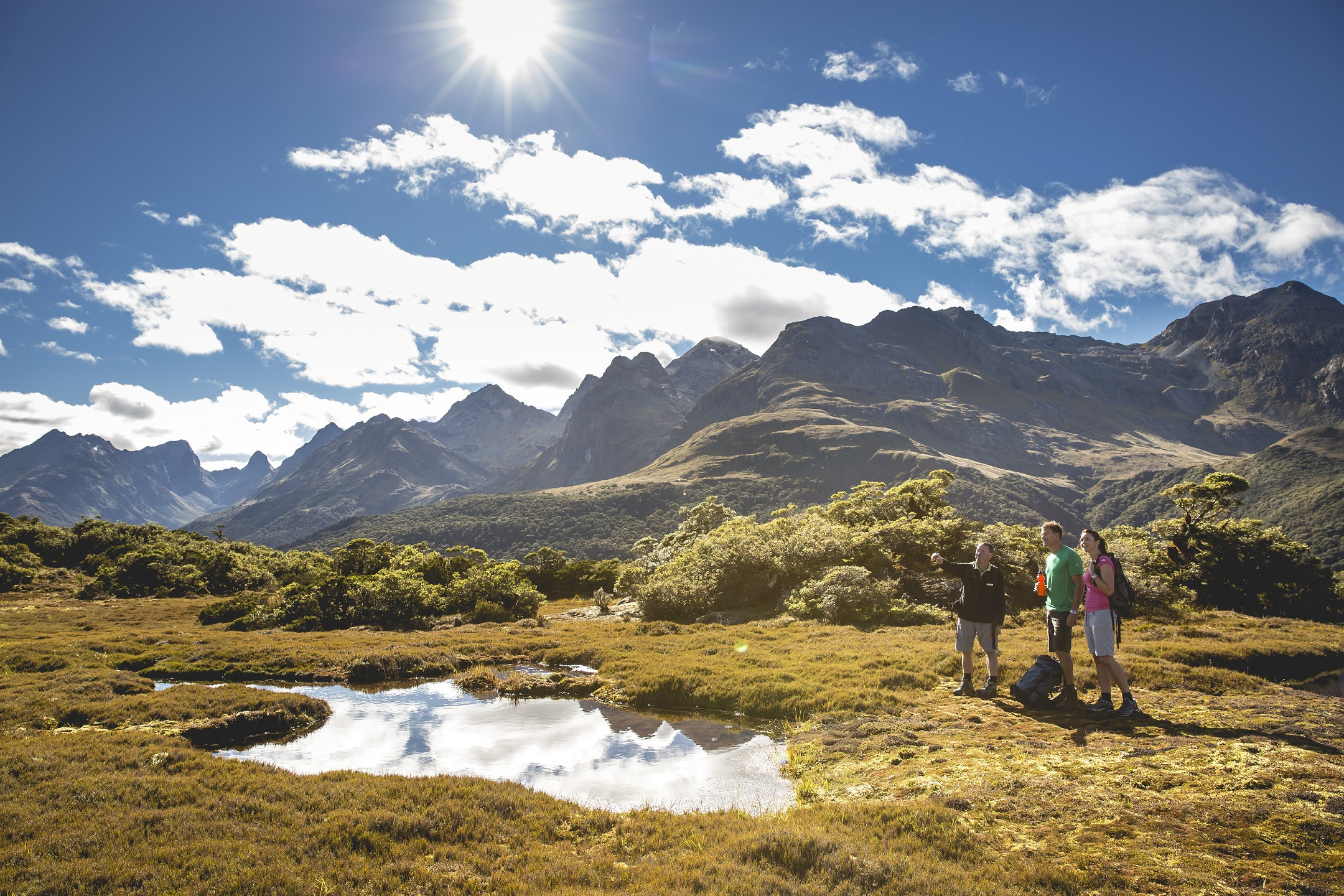
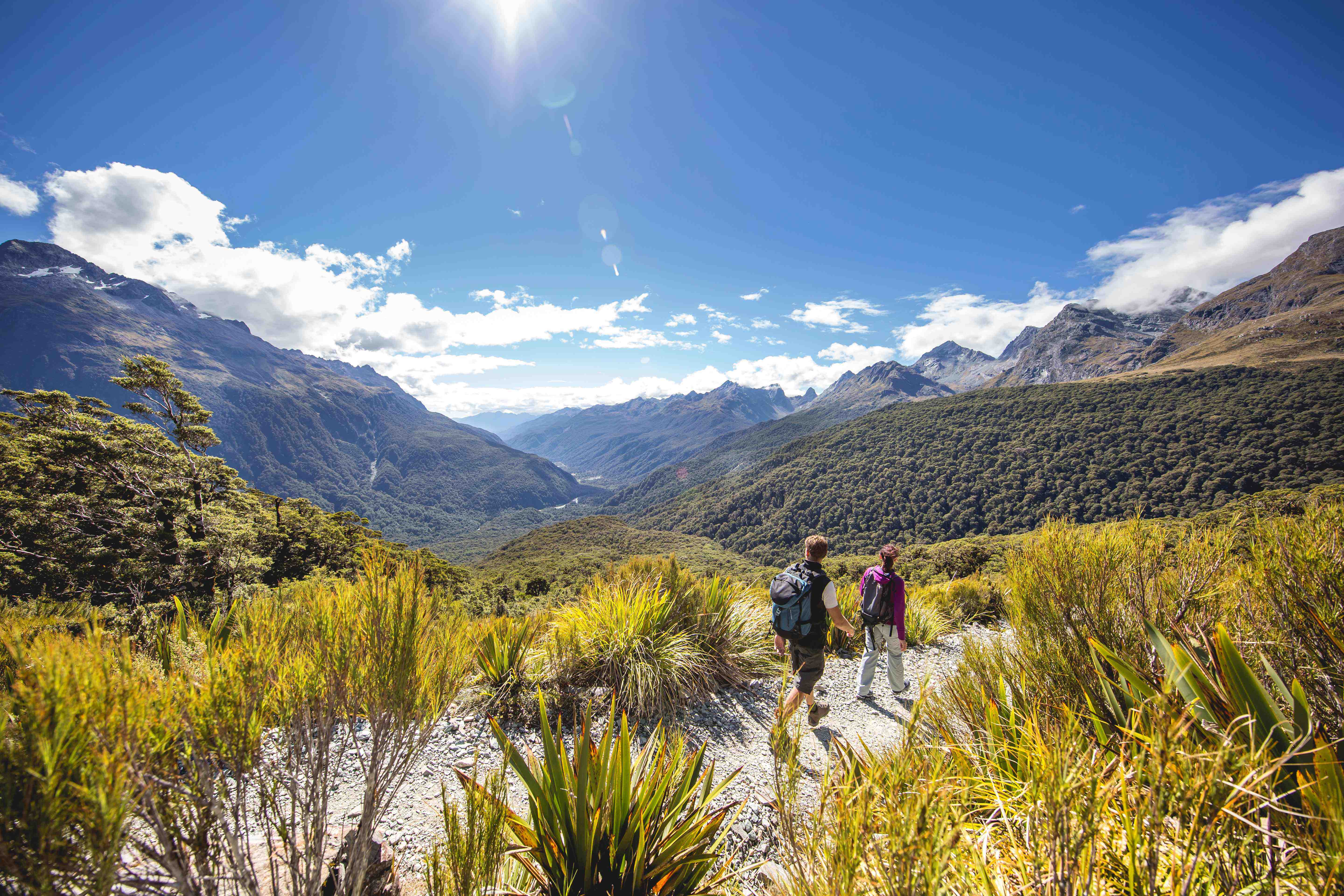
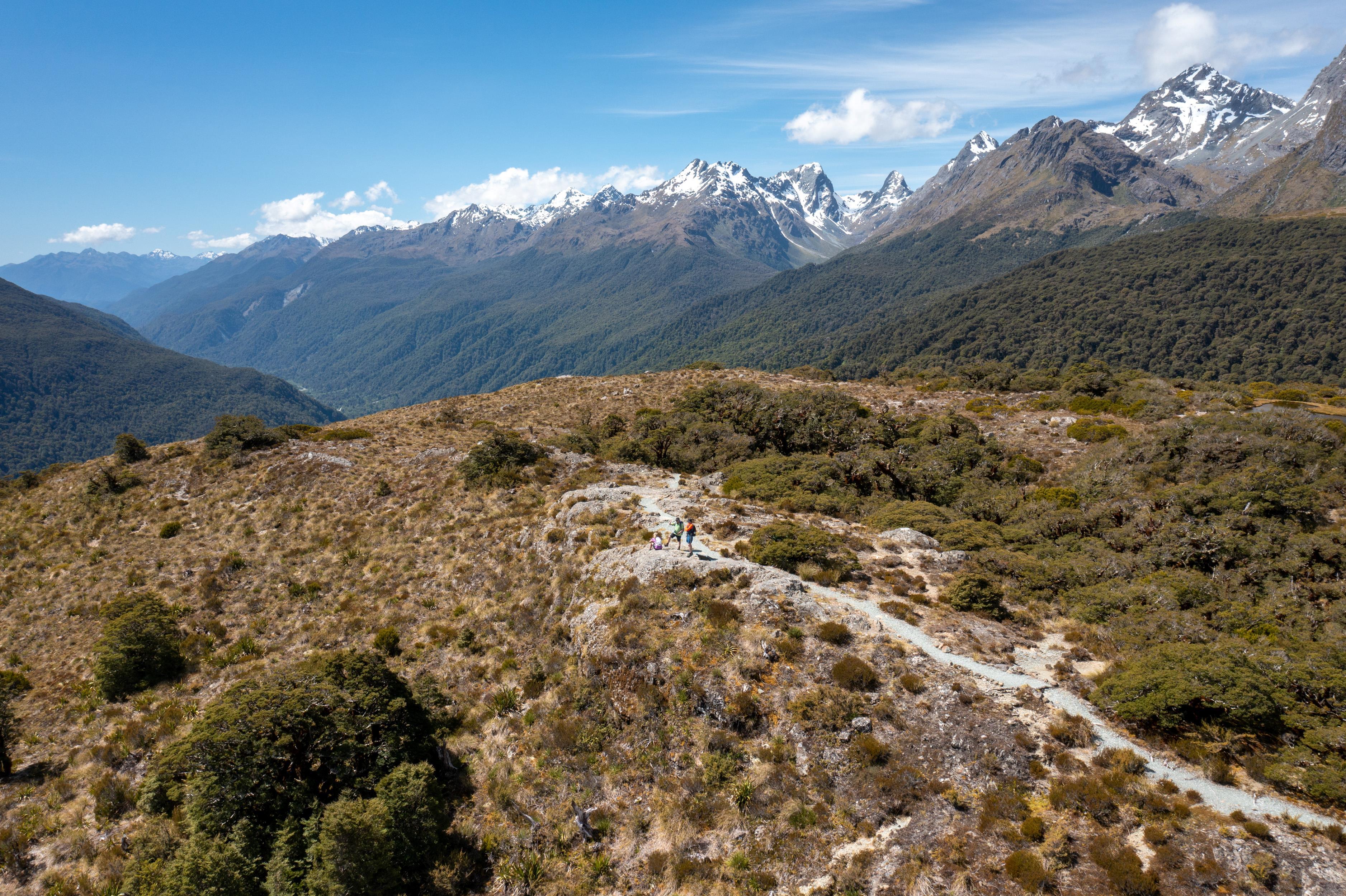
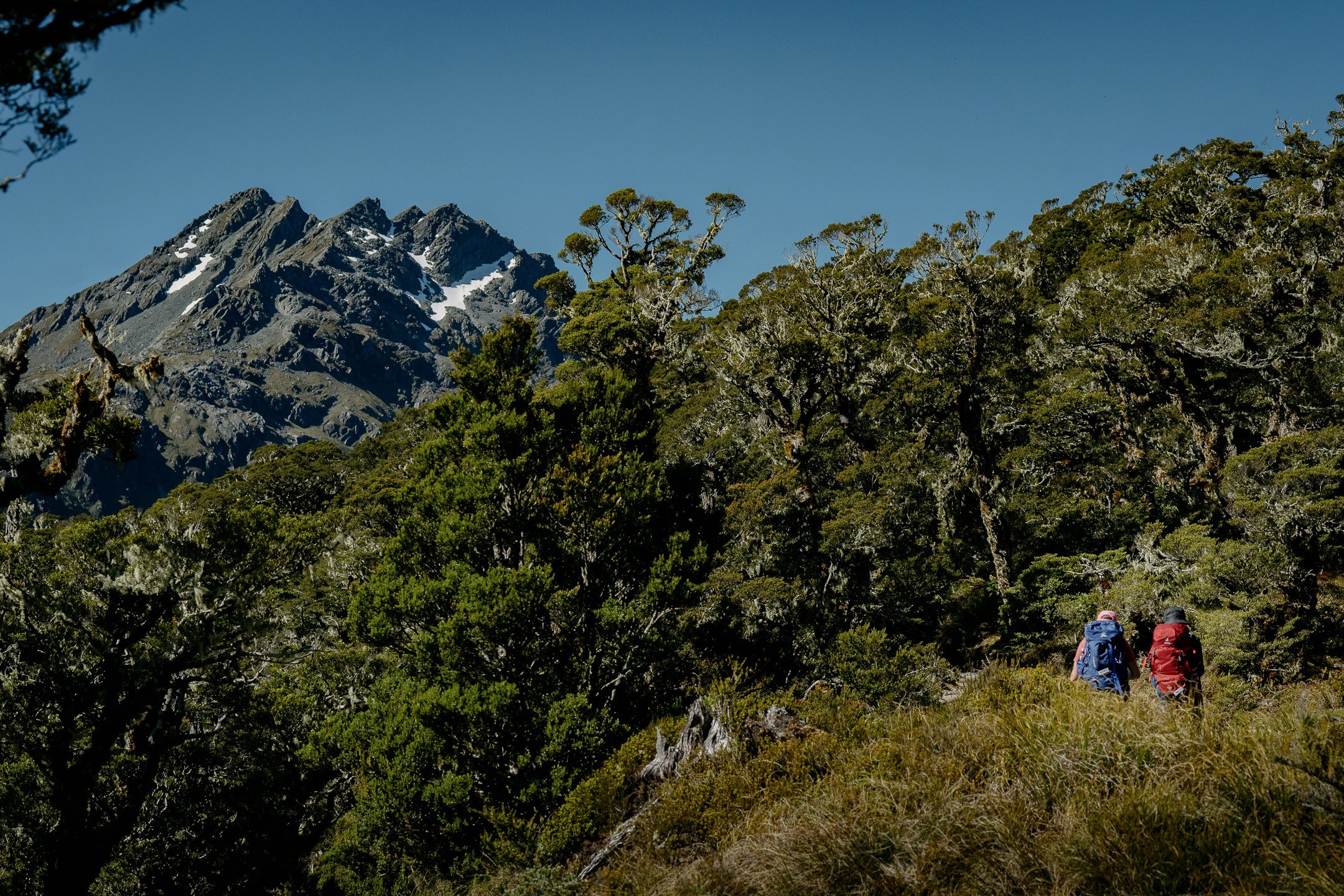
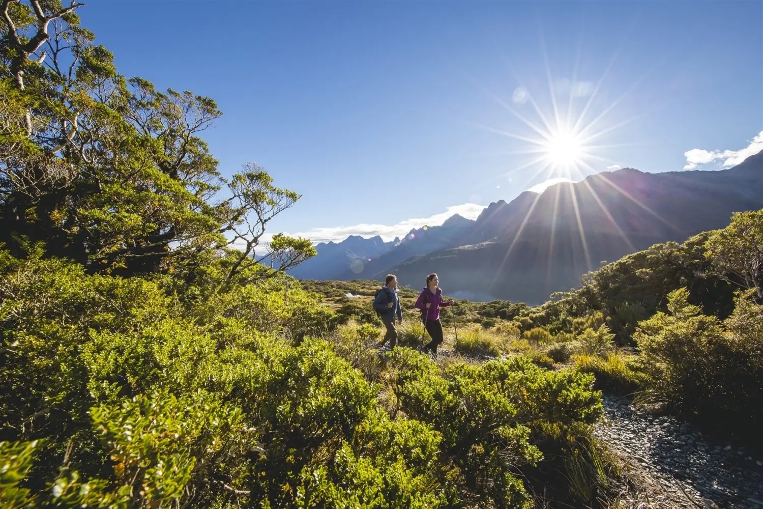
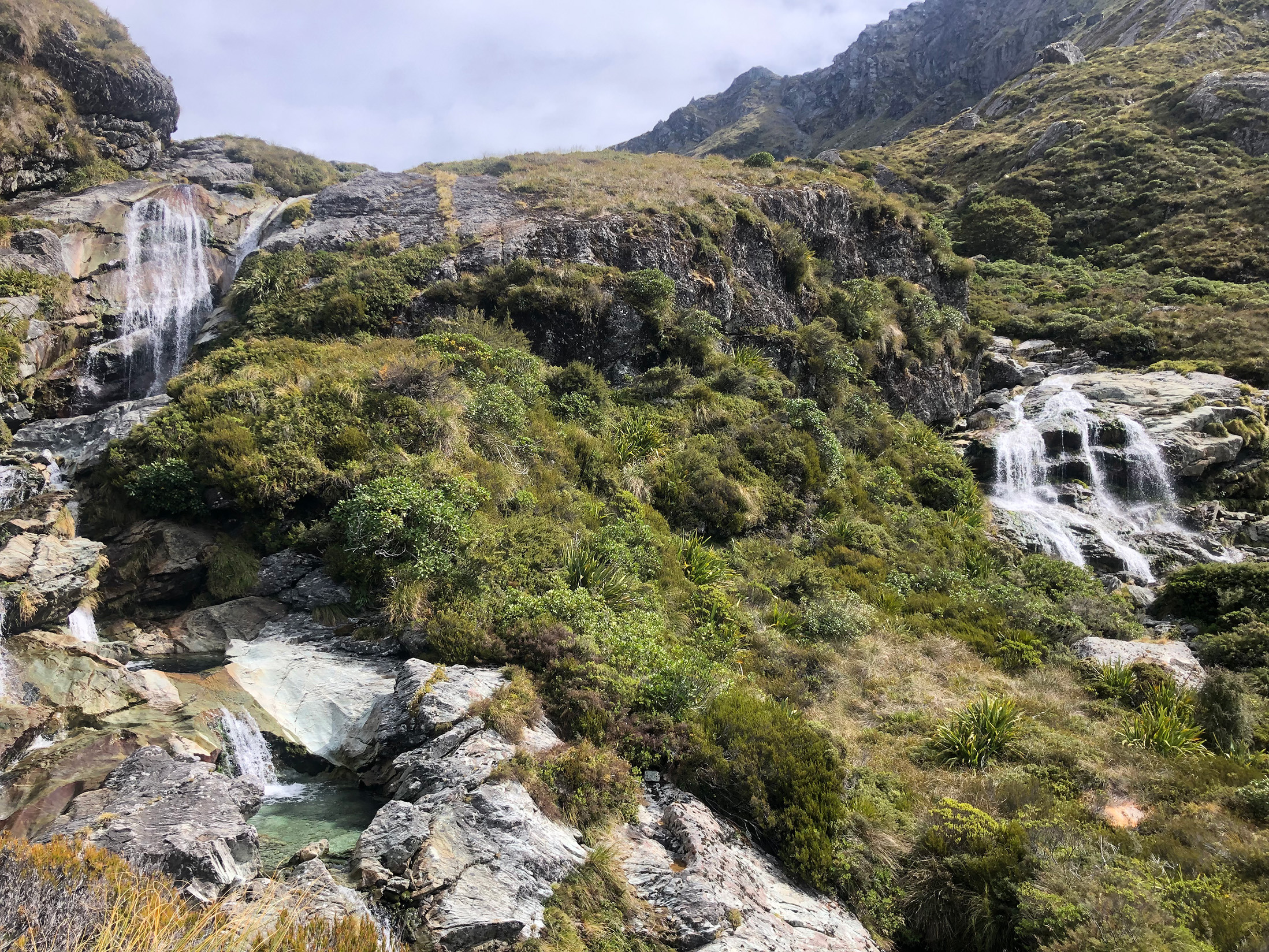
The Routeburn Track is a moderate Great Walk, but walkers still need good general fitness for sustained climbs, alpine terrain and consecutive days of hiking. The standard three-day itinerary includes walking days of around three to six hours, while two-day itineraries require considerably longer stages. Weather, steep drop-offs and exposed sections around Harris Saddle can also increase the difficulty.
The track includes a mix of well-formed paths, forest climbs, open alpine terrain and descents. Some sections are steep or rough, and DOC specifically warns of steep drop-offs along parts of the route.
Walkers should be comfortable with:
- Hiking for several hours at a time
- Walking on consecutive days
- Sustained uphill and downhill sections
- Carrying an overnight pack
- Uneven and sometimes slippery surfaces
- Exposed alpine terrain
- Rapidly changing weather
The section between Routeburn Falls and Lake Mackenzie is generally the most demanding part of the standard itinerary. It climbs above the bushline towards Lake Harris and Harris Saddle before traversing the exposed Hollyford Face.
Regular walking and some hill training in the weeks before departure will make the trip more comfortable. Practice with the pack and footwear you intend to use, particularly if you are not accustomed to carrying food and overnight equipment.
DOC does not recommend the track for children under 10 because of the exposed mountain environment and potentially adverse weather.
Outside the Great Walks season, the difficulty changes substantially. Snow, ice, avalanche terrain, reduced hut facilities and removed bridges can make the Routeburn a technical alpine undertaking that should only be attempted by people with the appropriate skills and equipment.
The Routeburn Track has two trailheads: Routeburn Shelter, 25 kilometres from Glenorchy, and The Divide, 85 kilometres from Te Anau on the Milford Road. Although the walking track is only about 33 kilometres long, the road distance between the two ends is approximately 325 kilometres, so full-track walkers need to arrange transport or vehicle relocation in advance.
Routeburn Shelter from Queenstown and Glenorchy
Routeburn Shelter is reached through Glenorchy on the Queenstown side of the mountains. Travellers can self-drive or use scheduled track transport.
If leaving a vehicle at the start, remember that completing the full track places you on the opposite side of the Southern Alps.
The Divide from Te Anau
The Divide is on the Milford Road, approximately 85 kilometres from Te Anau. It is the usual trailhead for walkers starting from the Fiordland side and is also used for shorter walks such as Key Summit.
Multi-day walkers generally choose between:
- Scheduled transport to and from both trailheads
- Leaving a vehicle at one end and arranging a shuttle
- Vehicle relocation while they are walking
- A package combining track transport with huts and other logistics
Go New Zealand can include transport or vehicle relocation within a Routeburn Track package, together with hut bookings, equipment hire and food provisions. This removes the need to make separate reservations around a track whose endpoints are geographically close on foot but several hours apart by road.
Transport should be booked early, especially during the Great Walks season. DOC also recommends avoiding pickup times that require leaving a hut before there is enough daylight to walk safely.
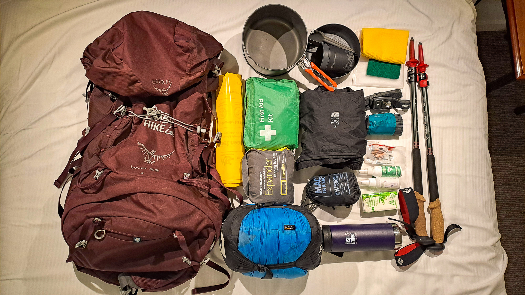
Independent Routeburn Track walkers need clothing and equipment for several days of changing alpine weather, as well as their own sleeping bag, food and cooking utensils. DOC huts provide basic facilities but do not supply meals, bedding or cookware, so packing needs to balance self-sufficiency with keeping your overnight pack manageable.
Clothing and footwear
- Waterproof jacket
- Waterproof overtrousers
- Warm insulating layers
- Quick-drying walking clothes
- Warm hat and gloves
- Spare socks
- Worn-in hiking boots or trail footwear
Sleeping and hut equipment
- Sleeping bag
- Headlamp or torch
- Dry clothing for the huts
- Toiletries
- Rubbish bags
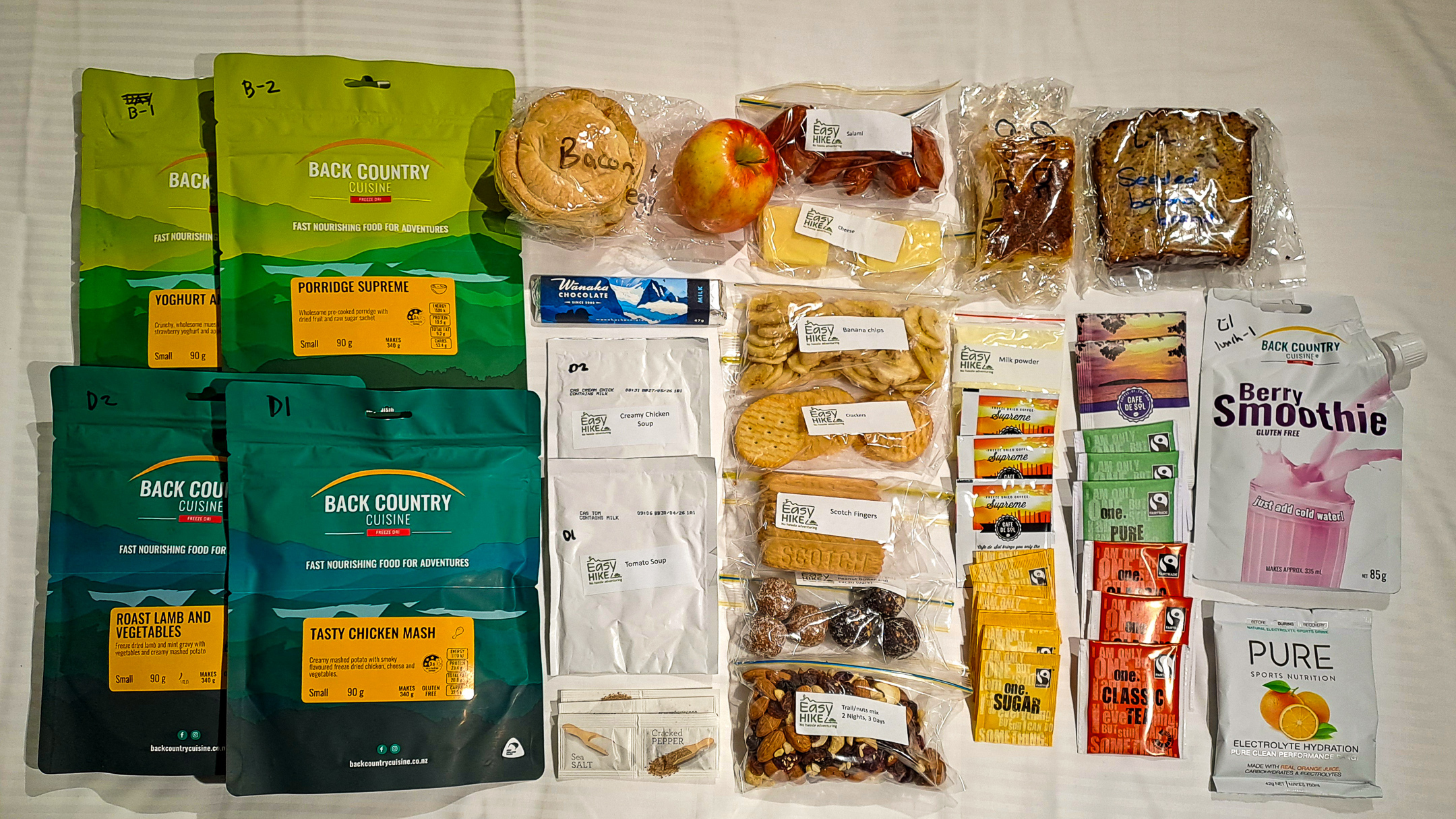
Food and cooking
- Meals for the complete itinerary
- High-energy snacks
- Emergency food reserve
- Cooking utensils
- Plate, bowl, cup and cutlery
Personal and safety items
- First-aid kit
- Personal medication
- Sunscreen
- Insect repellent
- Map or route information
- Emergency communication device
- Water bottle
Check the latest forecast and DOC track alerts immediately before departure. Weather on the Routeburn can change quickly in any season, with heavy rain, strong winds, cold temperatures and snow possible even during the Great Walks season.
Go New Zealand packages can include equipment rental and food provisions, which is particularly useful for international travellers who do not want to bring a complete multi-day hiking kit to New Zealand.
The Routeburn Track passes through several distinct environments, from native beech forest and river valleys to alpine wetlands, tussock and exposed mountain slopes. This change in elevation creates habitat for a variety of native plants and birds, with particularly rich birdlife in the forested sections and around Key Summit.
Native forest along the lower track includes extensive beech woodland with mosses, ferns and other moisture-loving plants beneath the canopy.
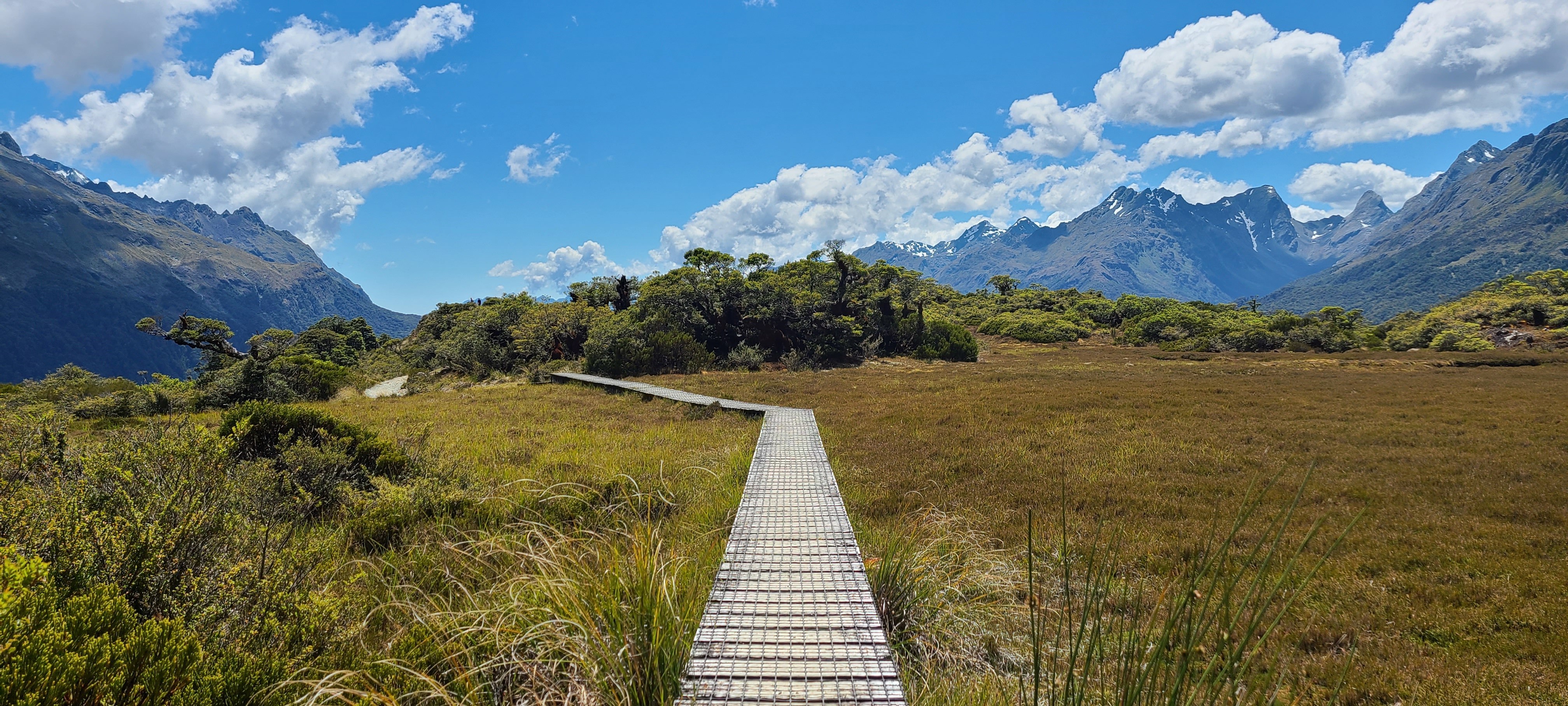
Above the bushline, the vegetation changes to subalpine shrublands, tussock and alpine wetlands. The Hollyford Face between Harris Saddle and Lake Mackenzie is particularly noted for its range of alpine plants.
Birdlife may include:
- Korimako/bellbird
- Pīwakawaka/fantail
- South Island robin
- Tomtit
- Kererū/New Zealand pigeon
- Kea
- Whio/blue duck
Sightings are never guaranteed, but the quieter forest and river sections provide good opportunities to hear or see native birds.
The Routeburn also passes through waterways where didymo has been detected. DOC asks visitors to take precautions when crossing streams so the invasive freshwater algae is not spread to other waterways.
Stay on formed tracks, carry all rubbish out and avoid disturbing wildlife or vegetation. Alpine plants grow slowly in the exposed mountain environment and can take a long time to recover from trampling.