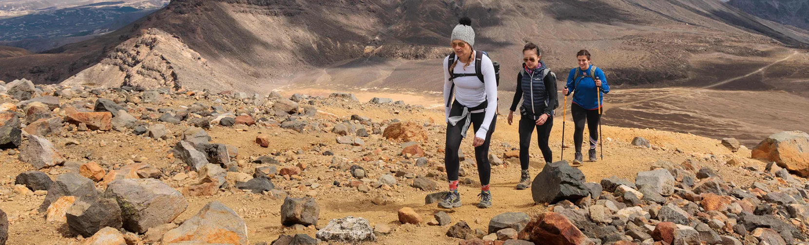
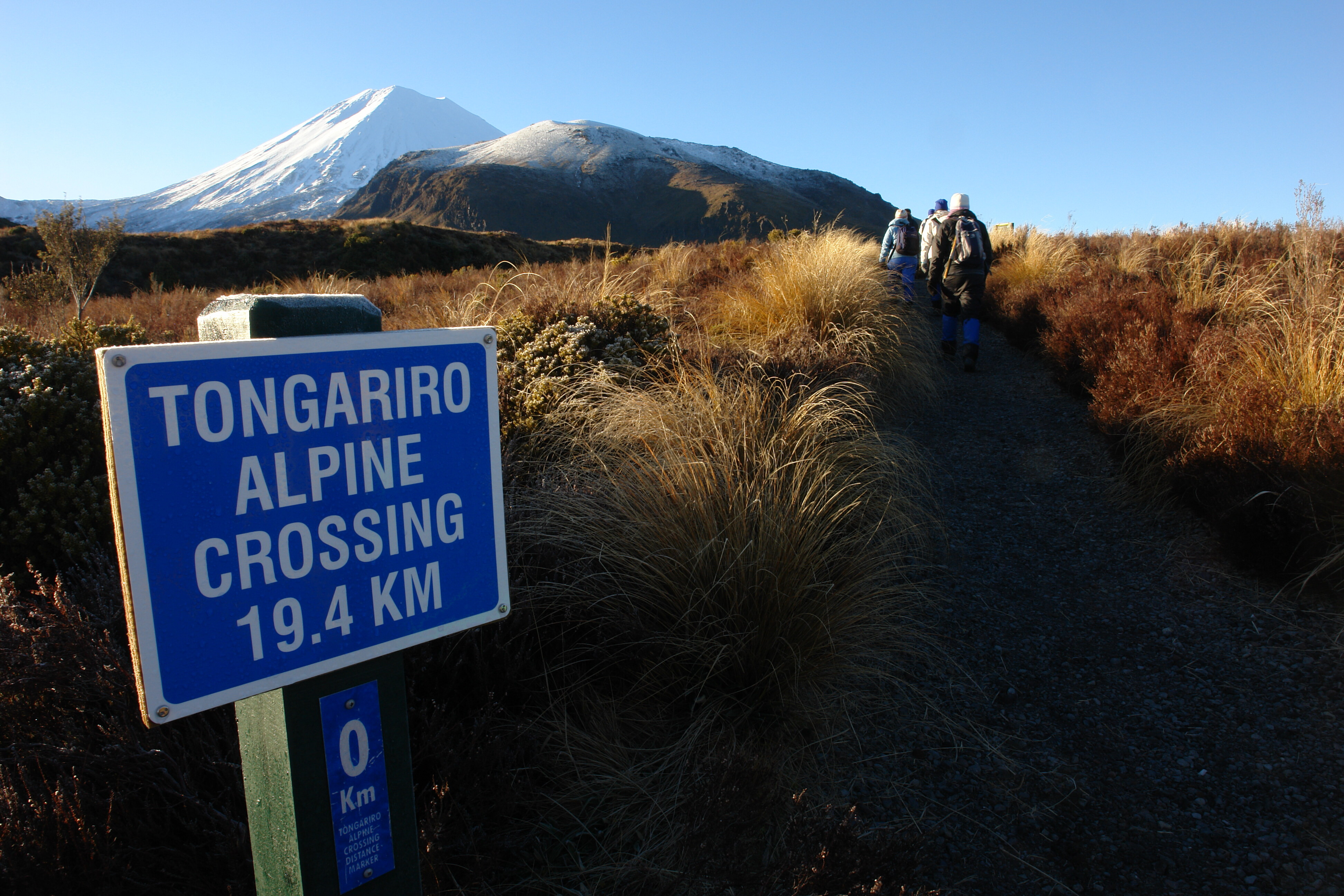
The Tongariro Alpine Crossing is a challenging 19.4-kilometre one-way hike through Tongariro National Park, usually taking 6–8 hours. The main non-winter walking period runs from late October to April, while winter conditions require alpine skills and equipment. Most walkers travel from Mangatepopo to Ketetahi and use a pre-booked shuttle, with guided full-day and shorter Tongariro walks also available.
Tongariro Alpine Crossing Route and Highlights
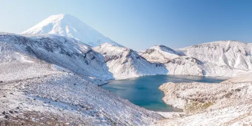
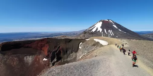
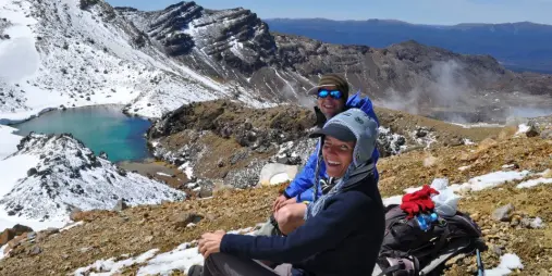
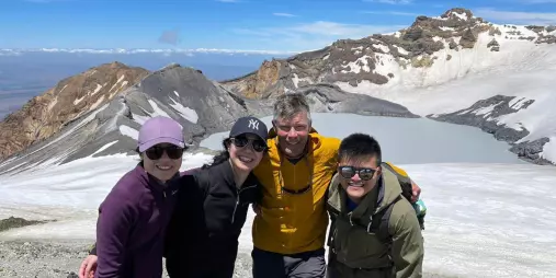
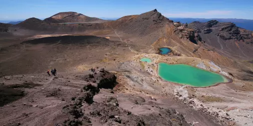
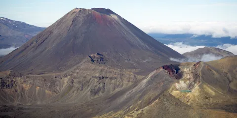
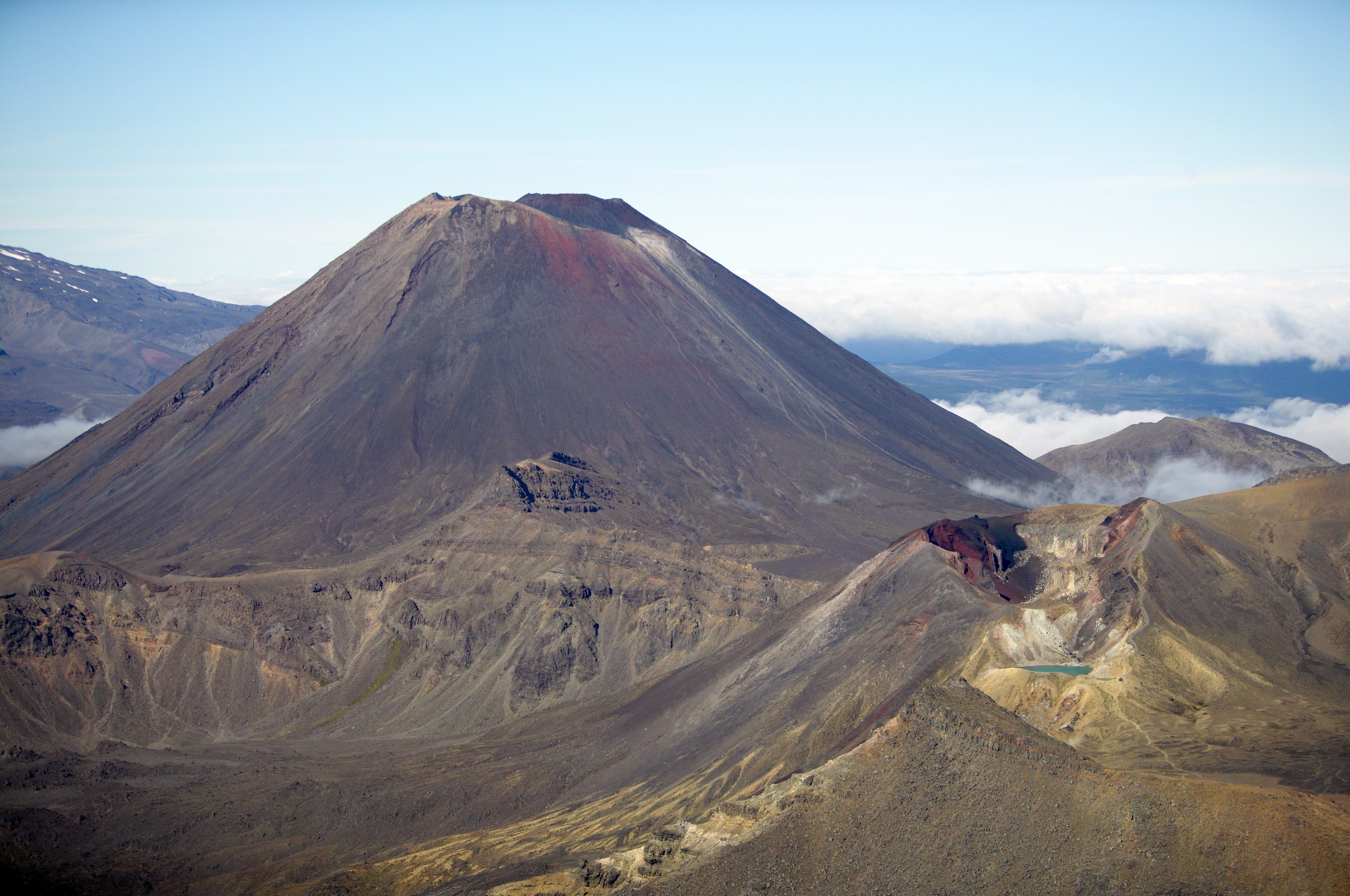
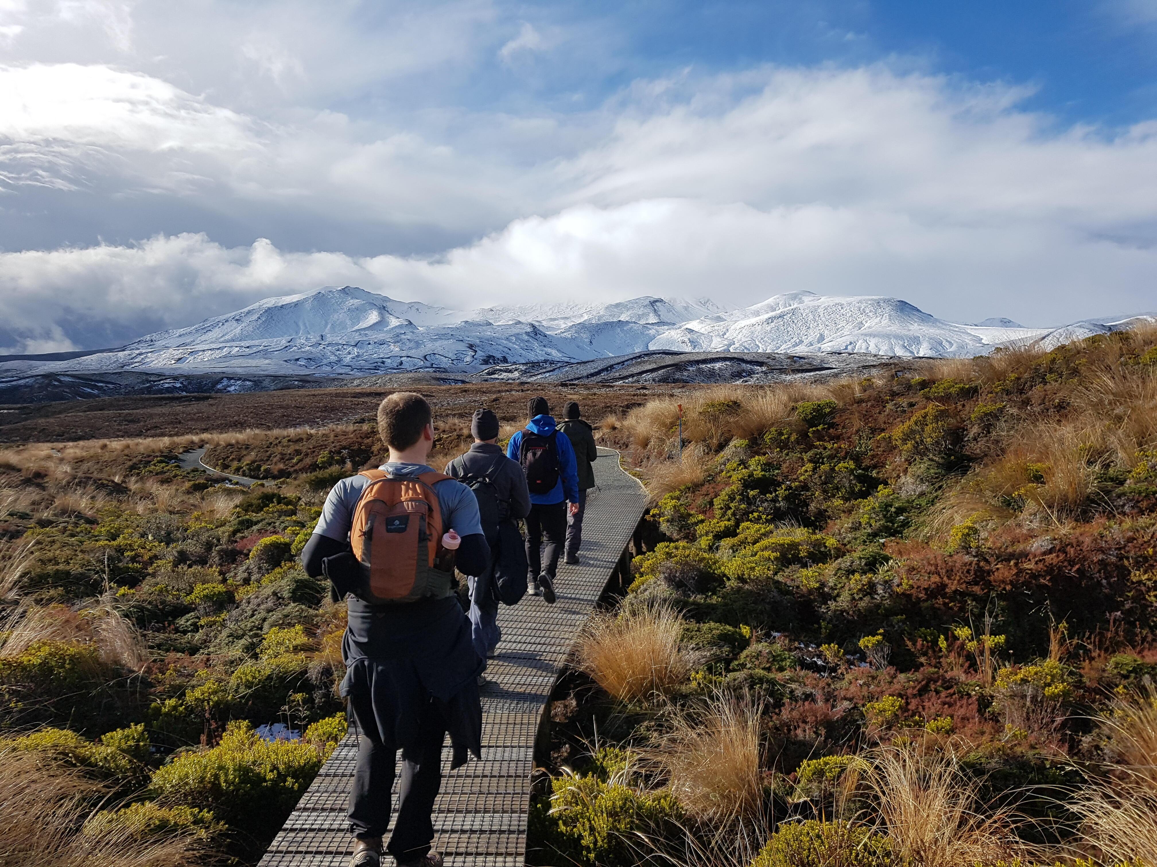
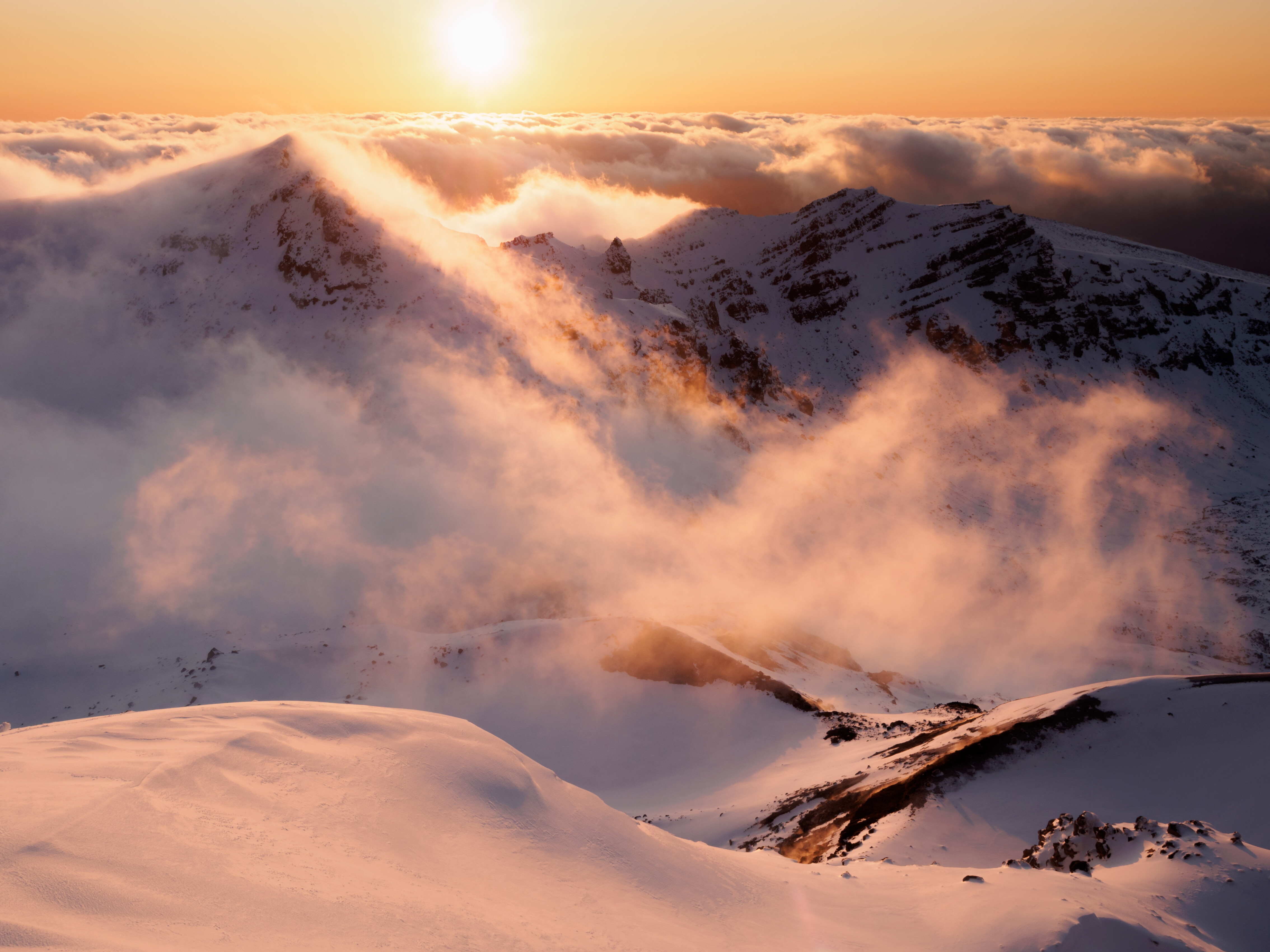
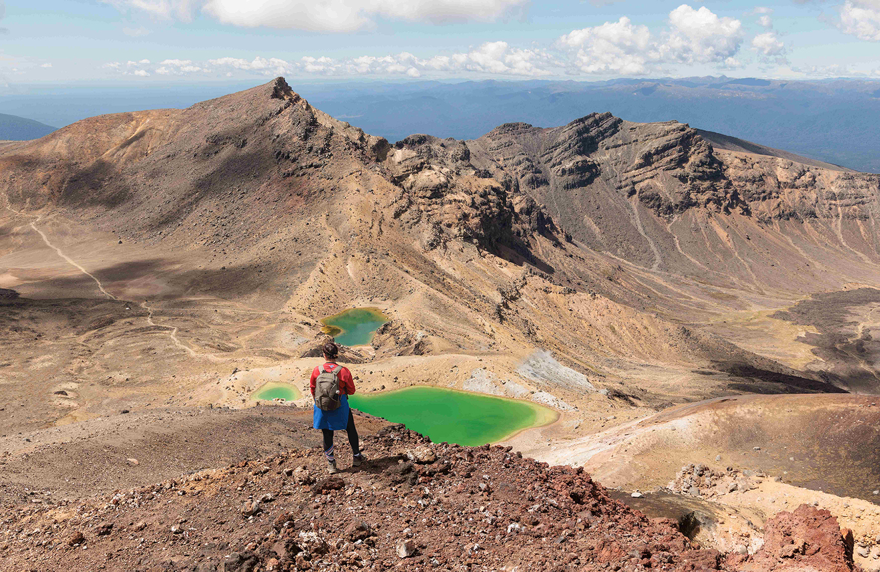
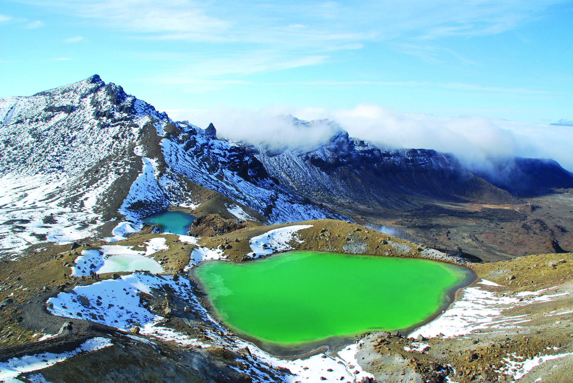
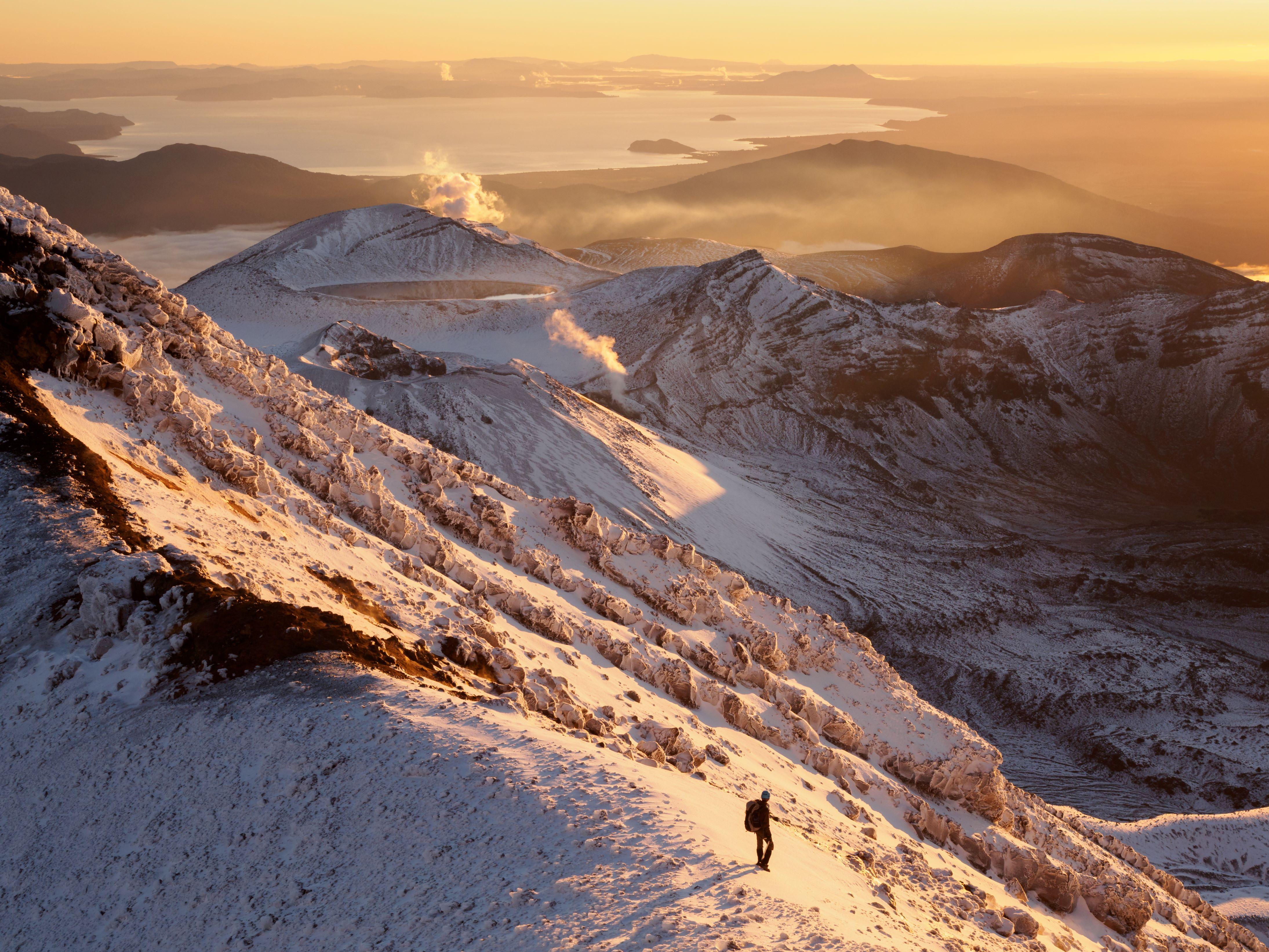
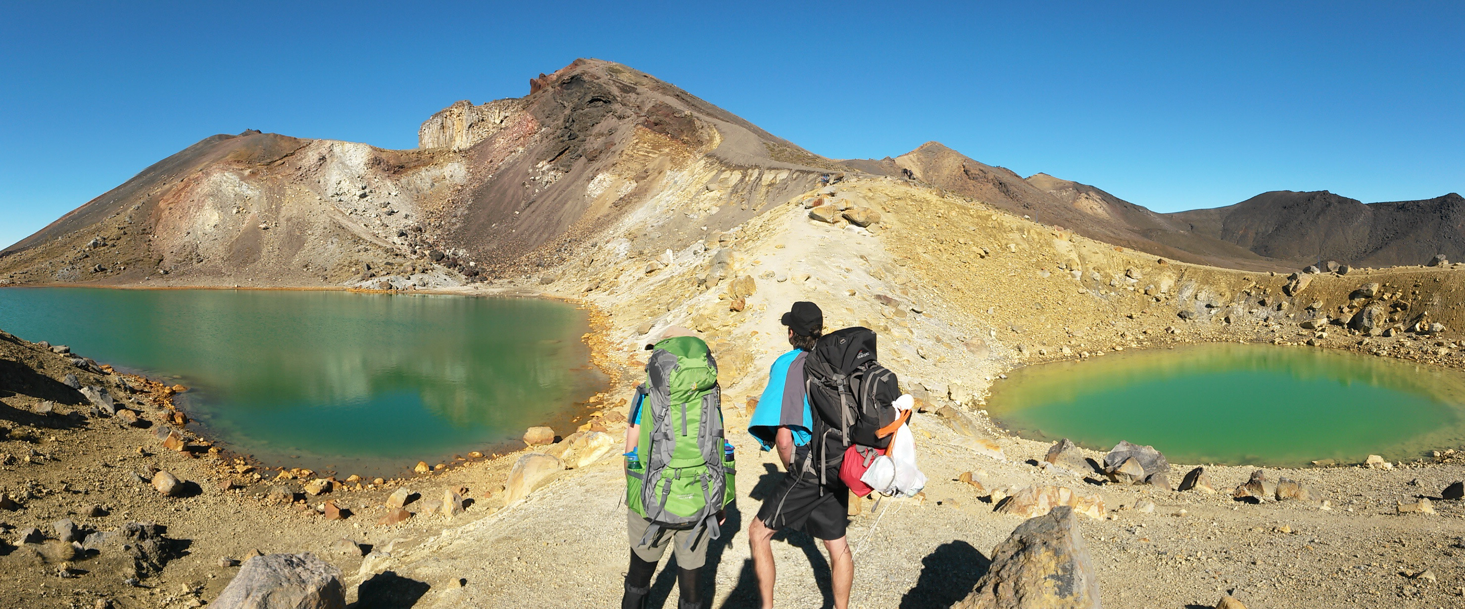
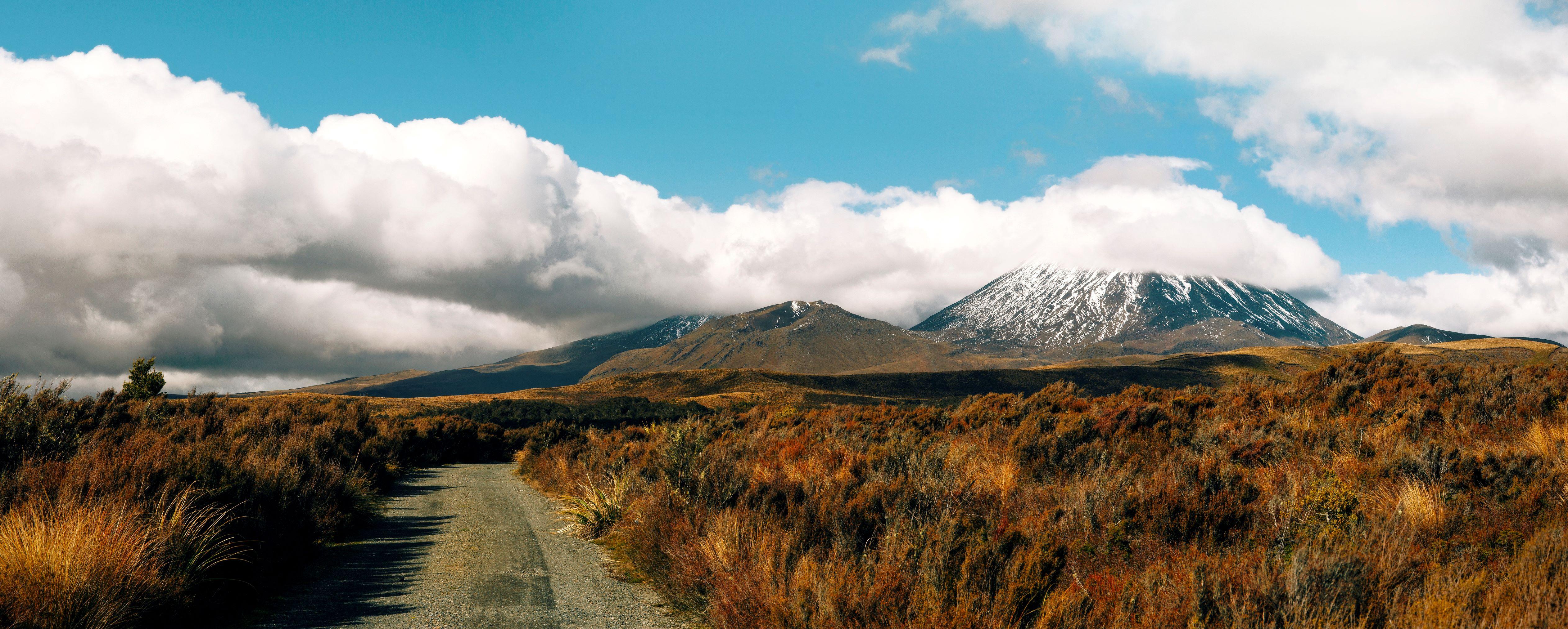
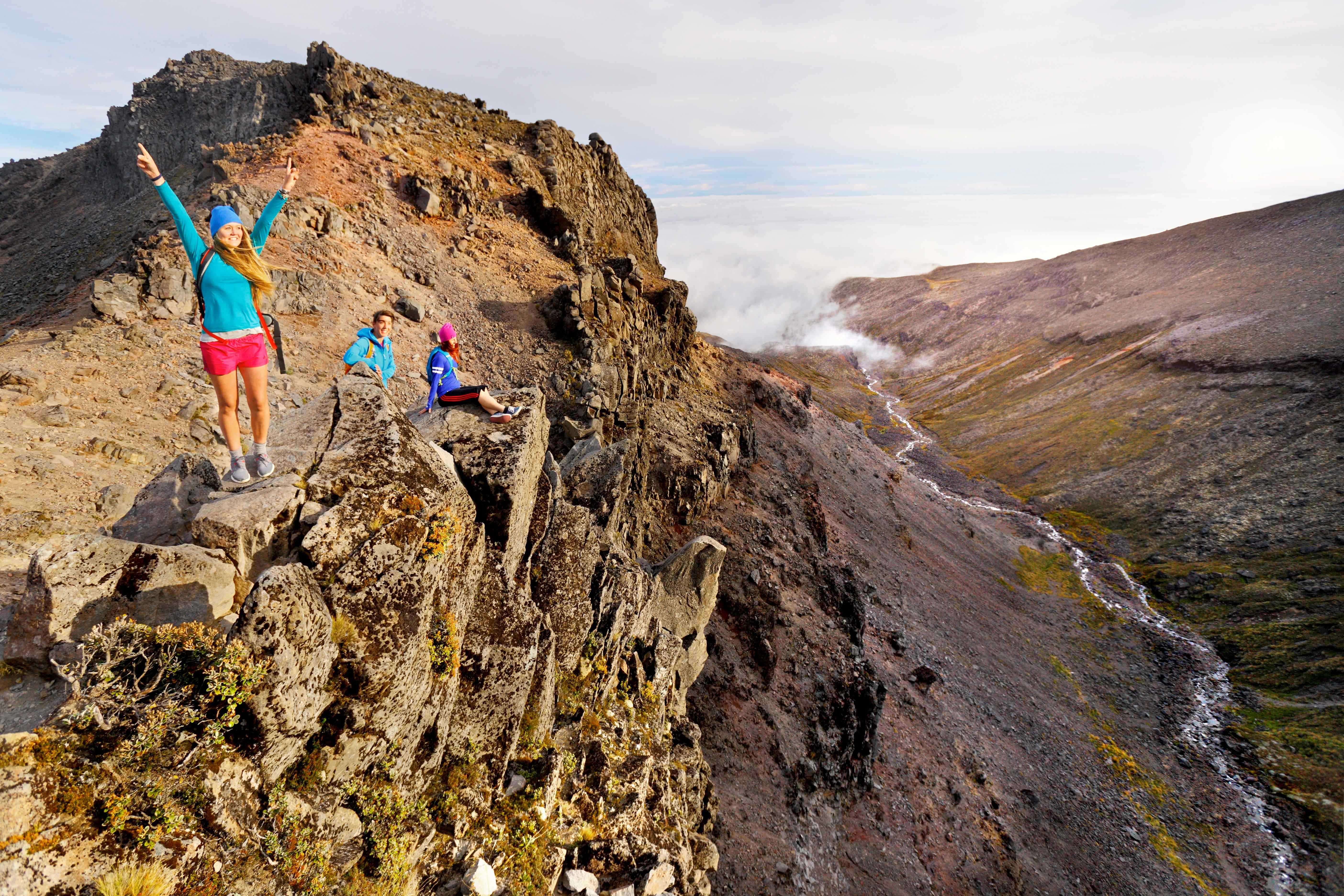
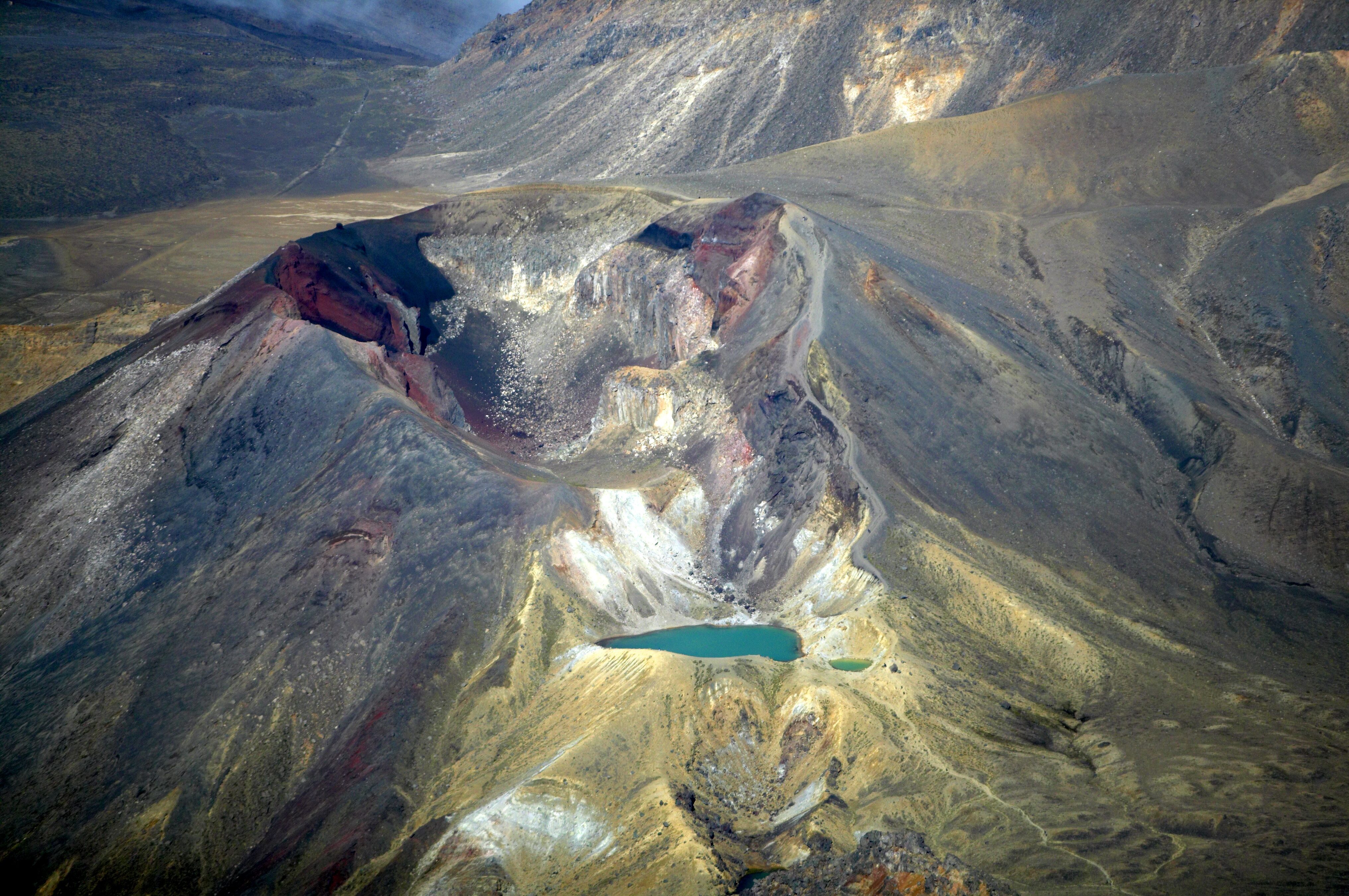
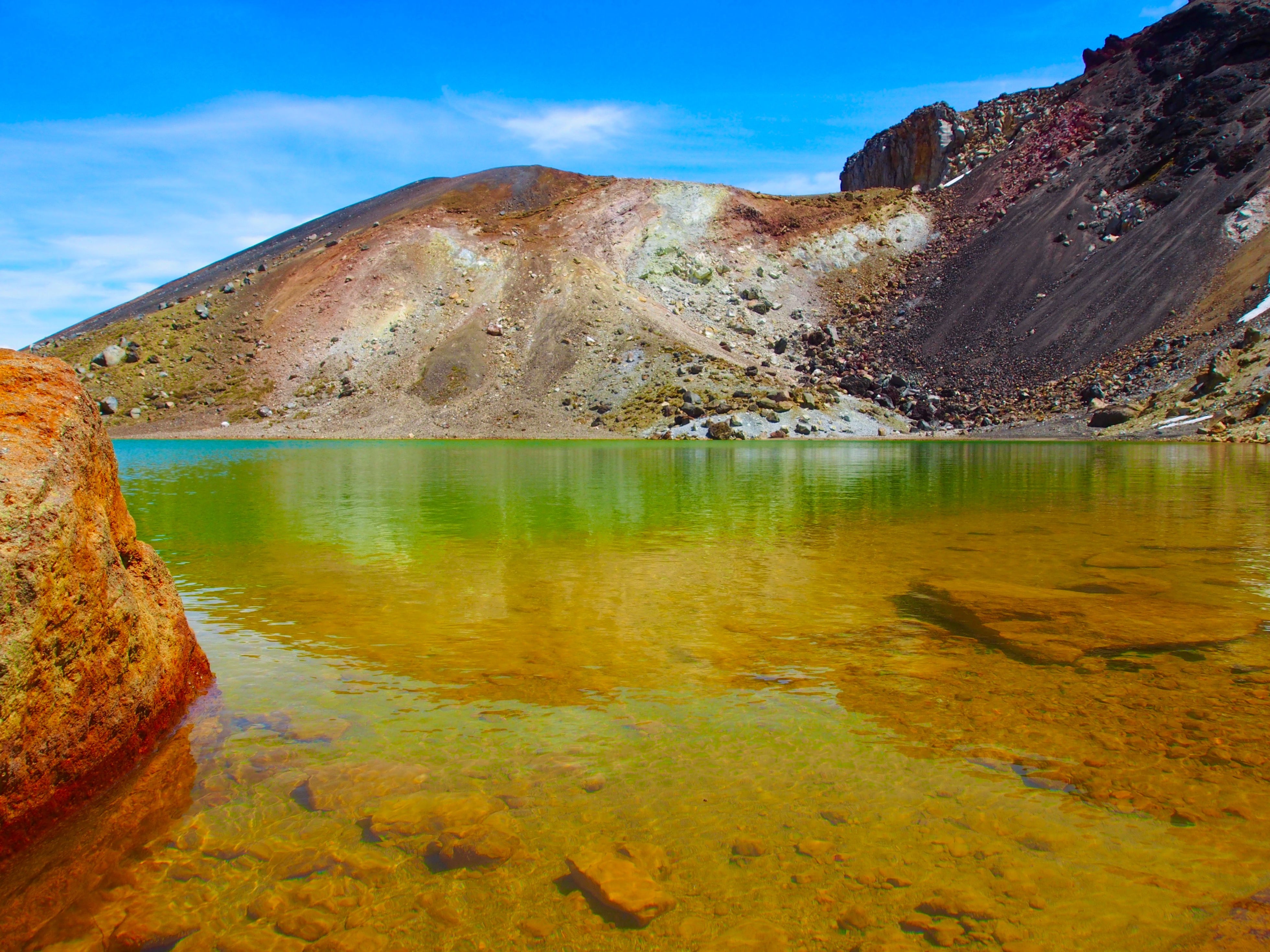
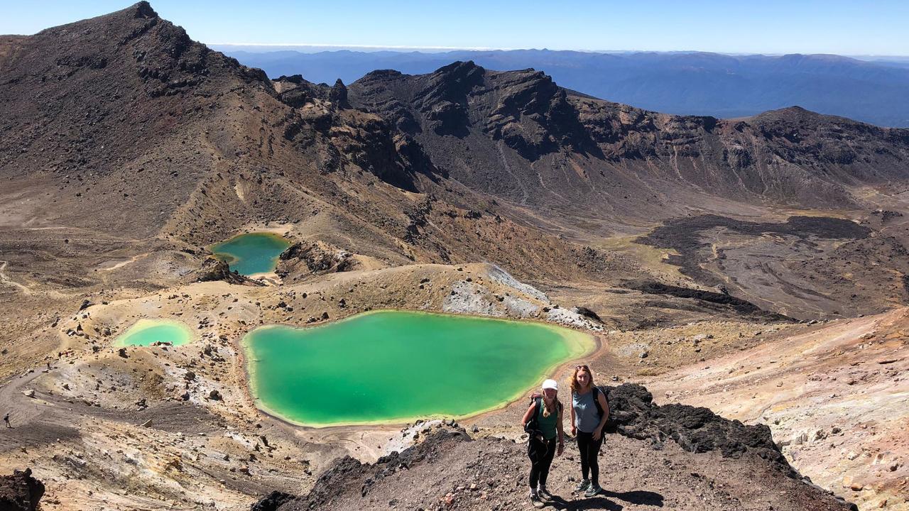
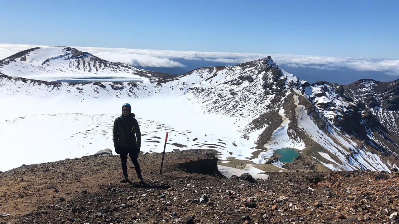
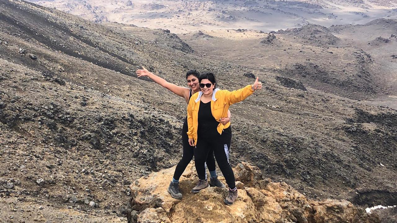
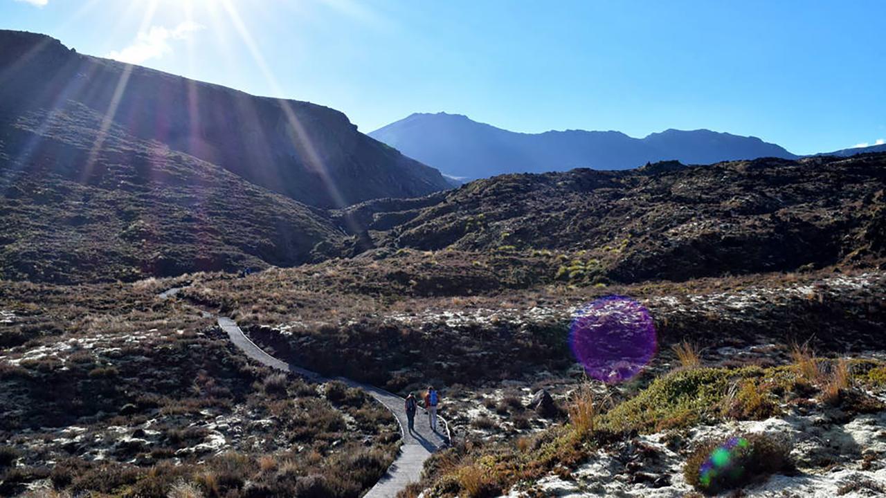
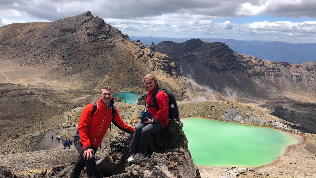
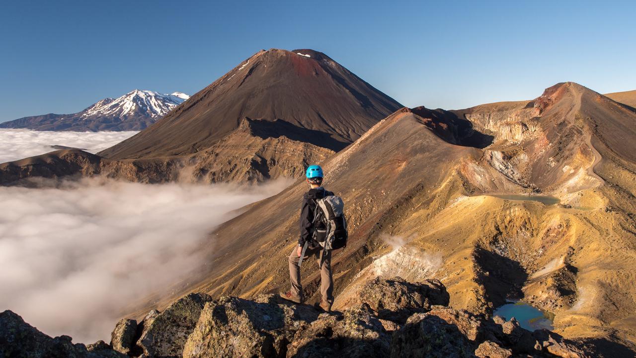
The Tongariro Alpine Crossing is a 19.4-kilometre one-way hike through the volcanic heart of Tongariro National Park, a dual World Heritage Area recognised for its natural and cultural significance. The route crosses lava flows, alpine craters and exposed volcanic terrain, with Red Crater, Ngā Rotopounamu/Emerald Lakes and Blue Lake among its best-known landmarks.
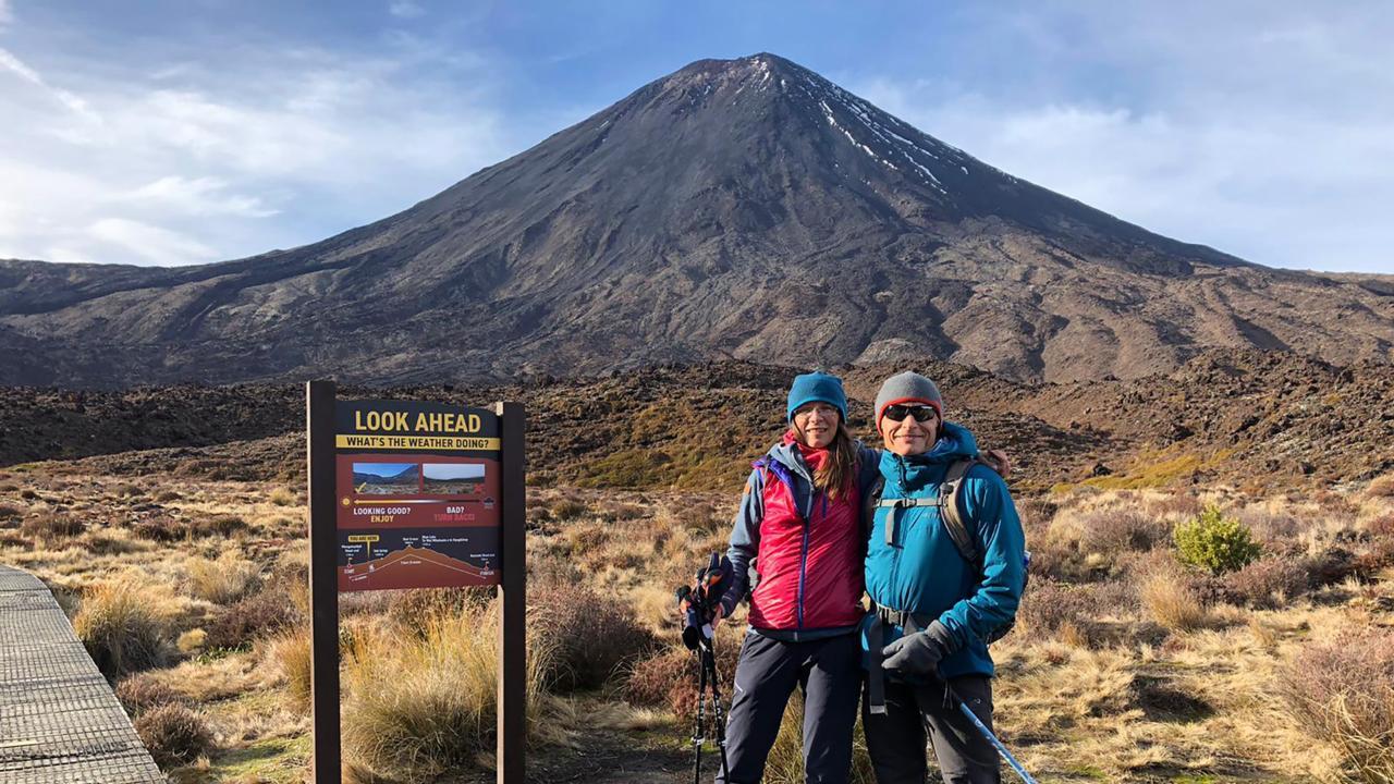
The Crossing is widely regarded as one of New Zealand’s standout day walks. It is normally walked from Mangatepopo towards Ketetahi, with the higher starting elevation reducing the total amount of climbing required.
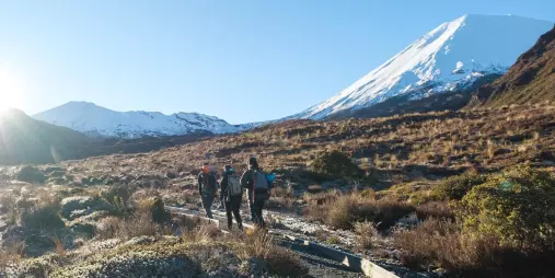
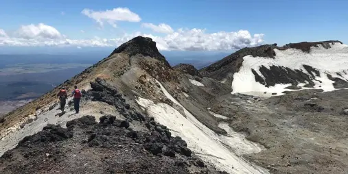
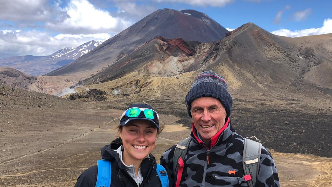
From Mangatepopo, the landscape changes dramatically as the track climbs towards South Crater and Red Crater. At 1,886 metres, Red Crater is the highest point of the Crossing.
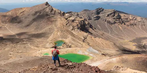
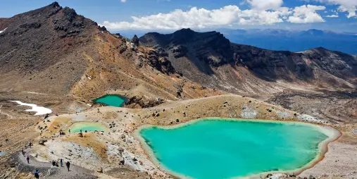
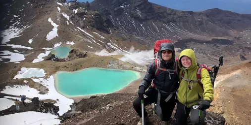
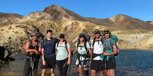
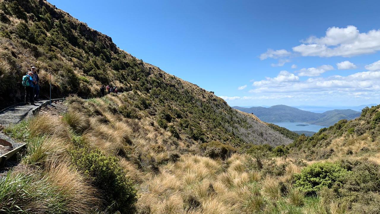
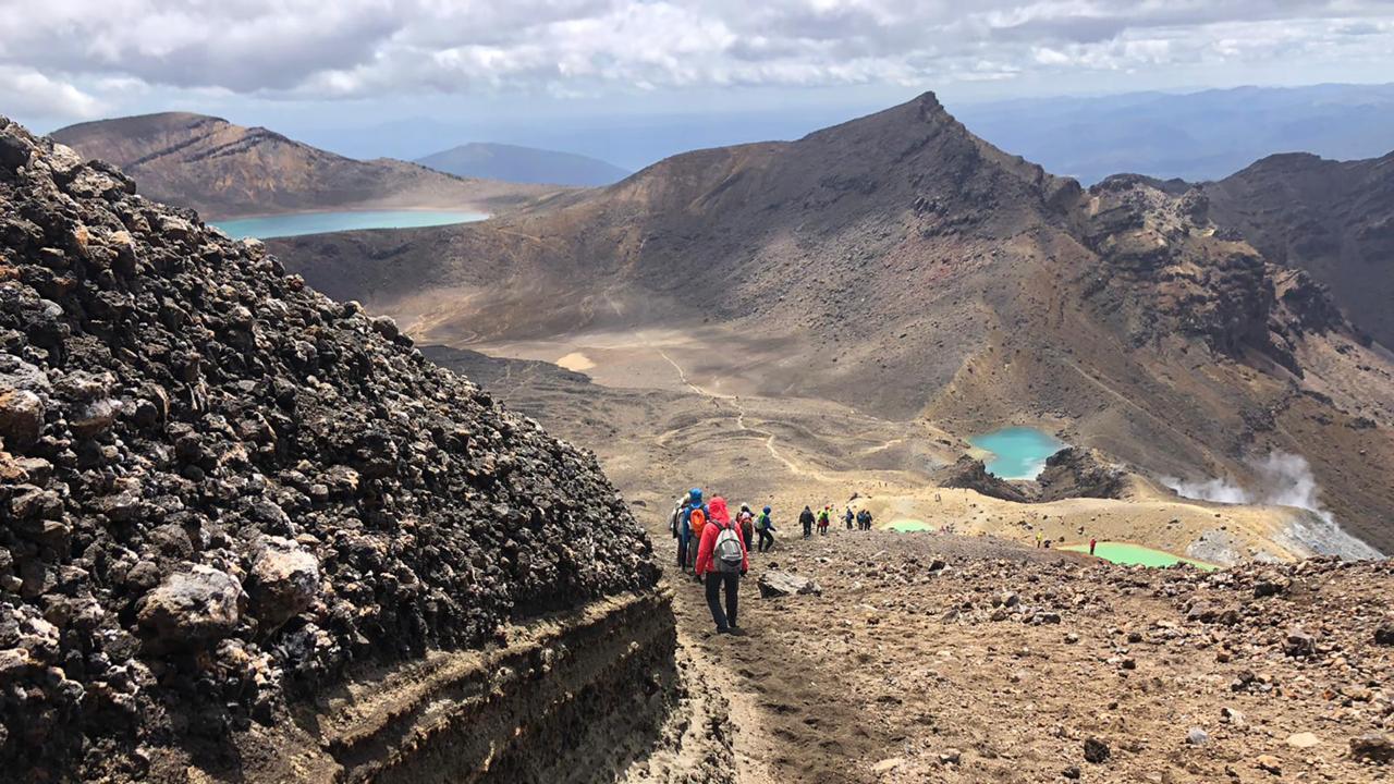
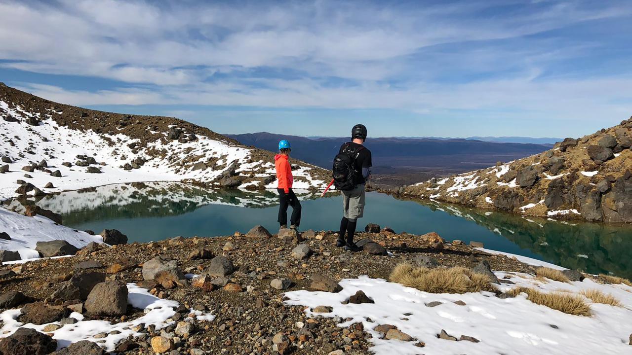
The route then descends over loose volcanic material towards the vividly coloured Emerald Lakes before continuing past Blue Lake. From there, a long descent leads towards Ketetahi, with views across the central North Island on a clear day.
Highlights include:
- Mangatepopo Valley
- South Crater
- Red Crater
- Ngā Rotopounamu/Emerald Lakes
- Blue Lake
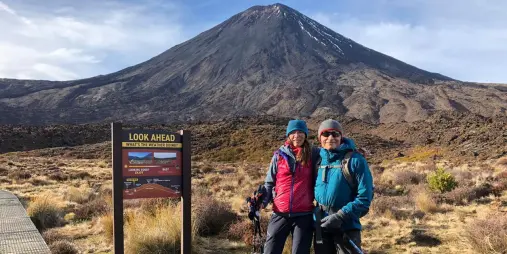
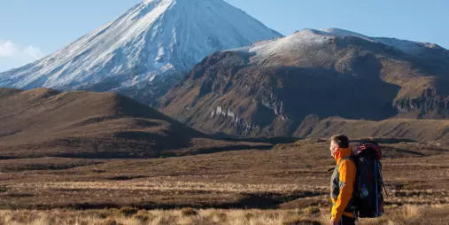
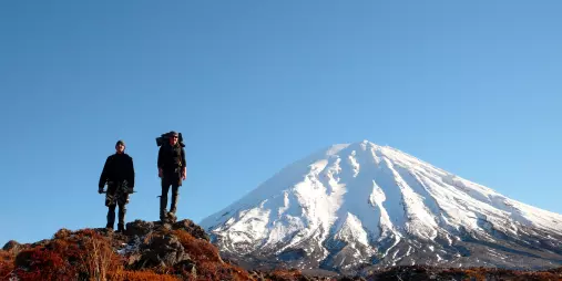
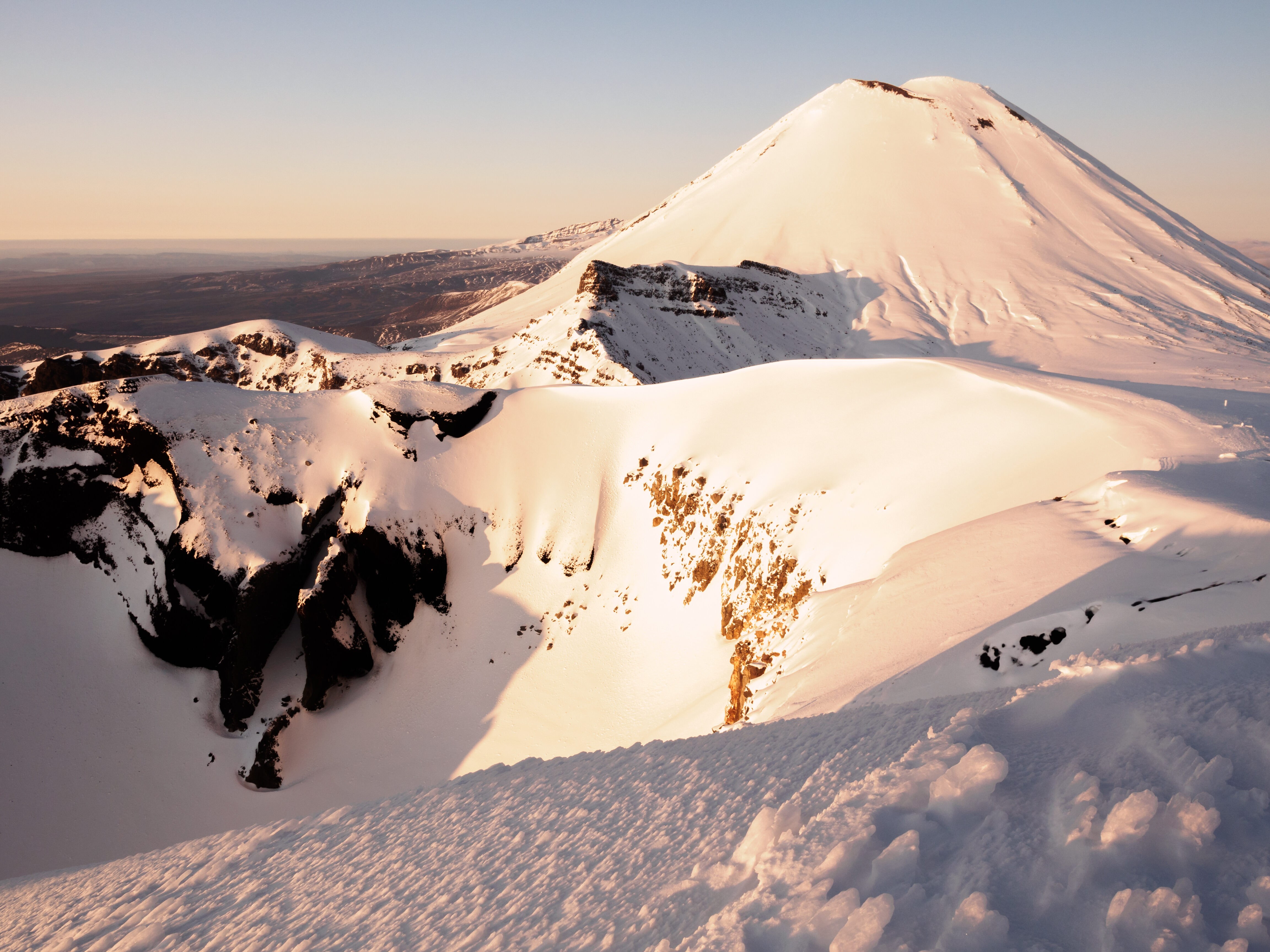
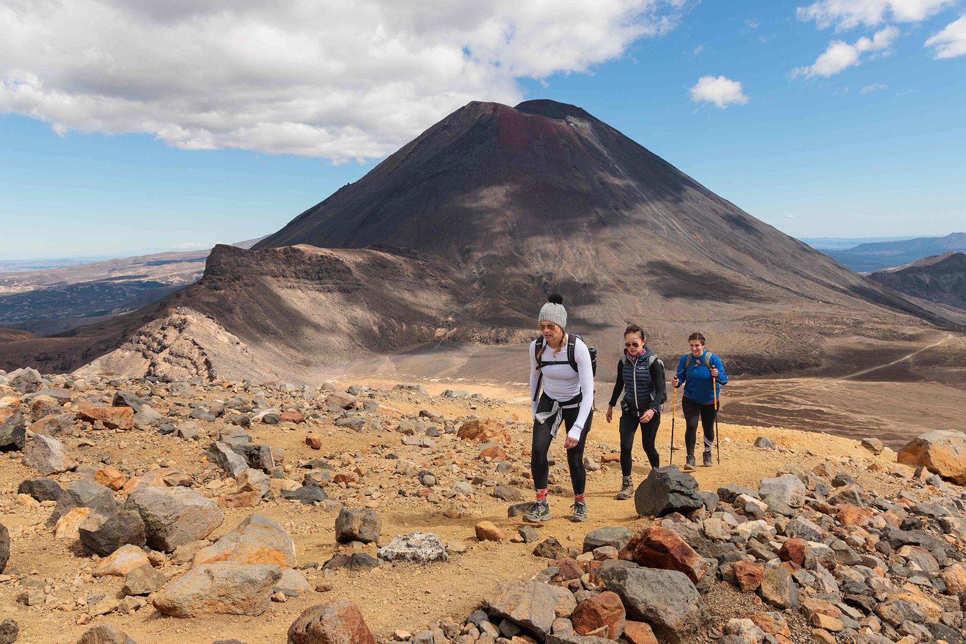
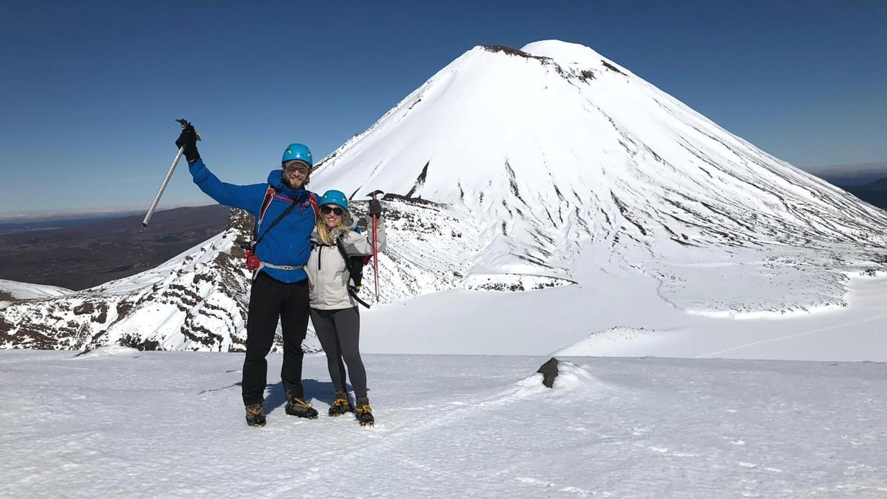
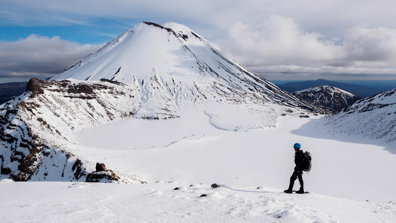
- Views of Mount Tongariro and Mount Ngāuruhoe
- Ancient and more recent lava flows
- The changing alpine landscape towards Ketetahi
Mount Ngāuruhoe is familiar to many visitors through its association with The Lord of the Rings, but the maunga has much deeper cultural significance to local iwi.
For a detailed route guide, seasonal conditions, equipment and preparation advice, see our How to Hike the Tongariro Alpine Crossing guide.
Tongariro National Park Guided Walks Compared
Tongariro National Park offers guided walks ranging from a two-hour Taranaki Falls walk to full-day alpine hikes. The Tongariro Alpine Crossing is the best choice for walkers wanting the complete 19.4-kilometre Crossing, while Soda Springs provides a shorter taste of the same route. Tama Lakes and Mt Ruapehu offer alternative full-day hikes through different parts of the volcanic landscape.
| Walking experience | Duration | What it covers | Difficulty | Best For |
|---|---|---|---|---|
| Taranaki Falls | 2 hours | 6 km | Easier | A short introduction to Tongariro National Park |
| Soda Springs | 3–3.5 hours | 10–12 km | Easy–moderate | Experiencing part of the Alpine Crossing without the full-day hike |
| Tongariro Alpine Crossing | 7–8 hours | Approx. 20 km | Challenging | Completing the famous one-way Crossing and seeing its major volcanic highlights |
| Mt Ruapehu Summit Plateau | 6–7 hours | 10 km return* | Challenging | A more demanding alpine hike focused on Mt Ruapehu and its summit plateau |
| Tama Lakes | 5-6 hours | 17.6 km return | Moderate | A quieter full-day alternative with crater lakes and less uphill walking |
*The Mt Ruapehu route can be around 7 km when the chairlift is used.
Guided and Independent Tongariro Alpine Crossing Walks
The Tongariro Alpine Crossing can be walked independently in suitable non-winter conditions or experienced with a local guide. Independent walking suits confident hikers who can assess mountain conditions and organise their own shuttle transport, while guided walks provide additional support, local knowledge and interpretation.
Walking independently gives you more control over your pace and stops, but you remain responsible for checking track conditions, weather and transport arrangements before setting out.
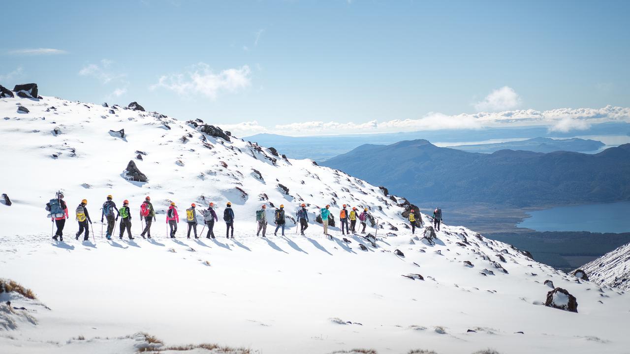
A guided Crossing can be a good choice for first-time visitors, walkers unfamiliar with alpine environments or travellers who want more insight into the landscape. Guides can explain the geology, volcanic activity and cultural significance of Tongariro National Park while monitoring conditions throughout the day.
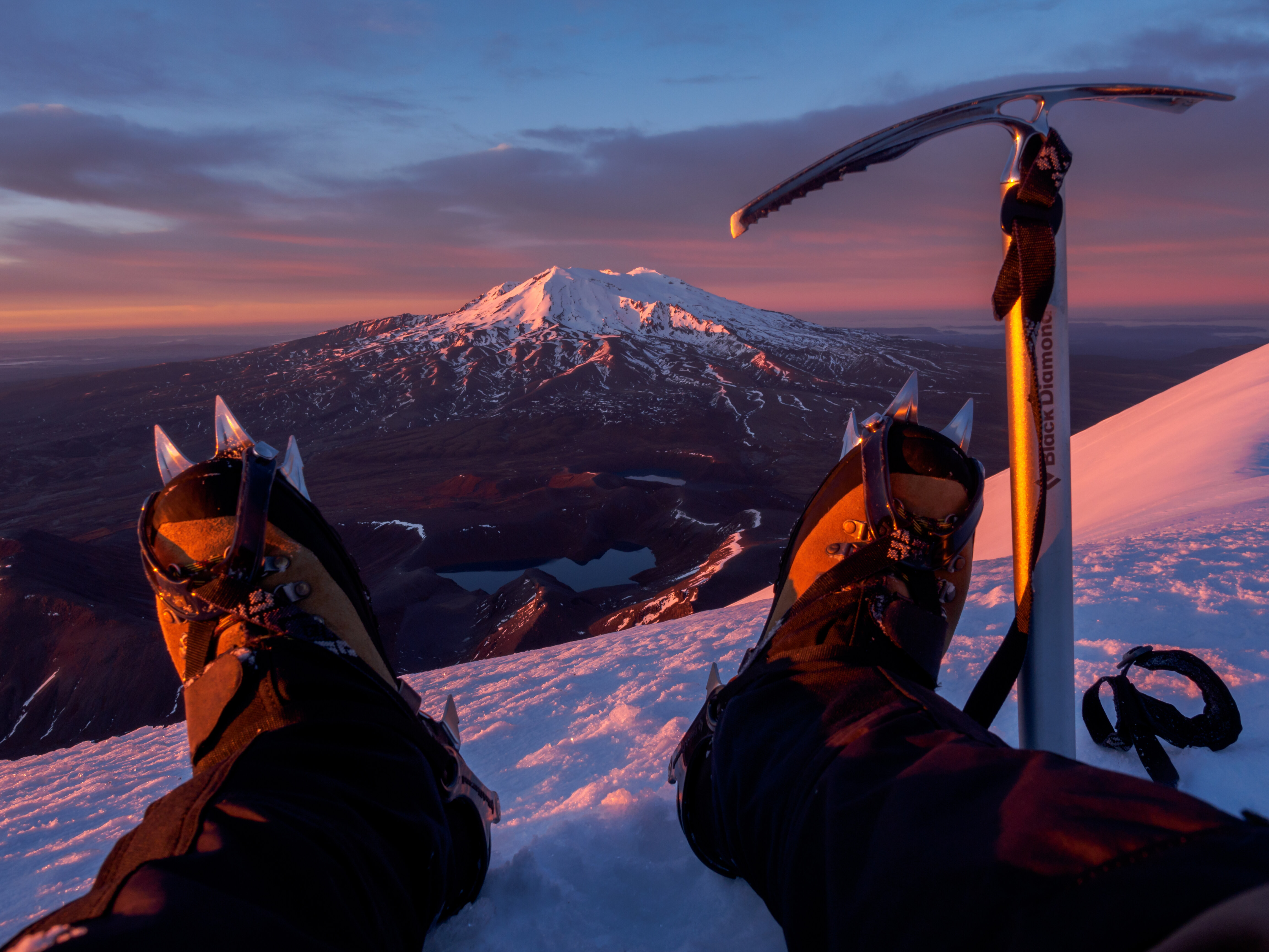
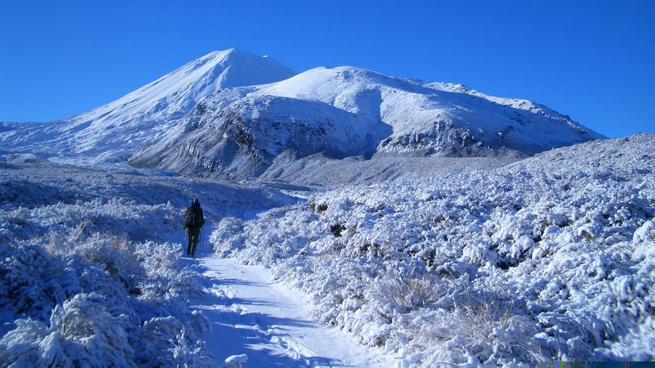
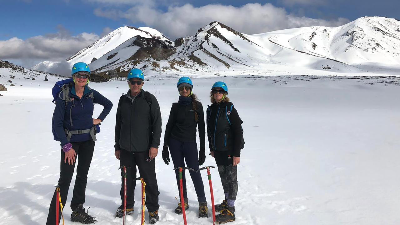
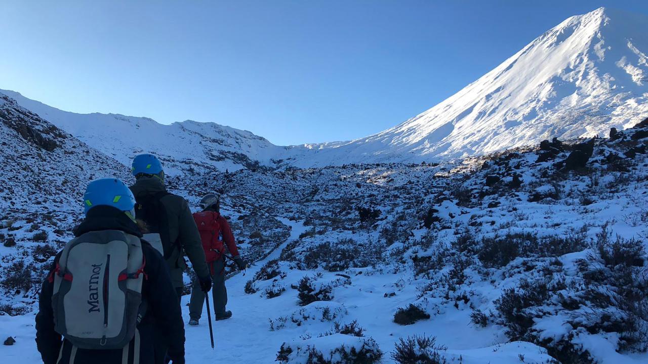
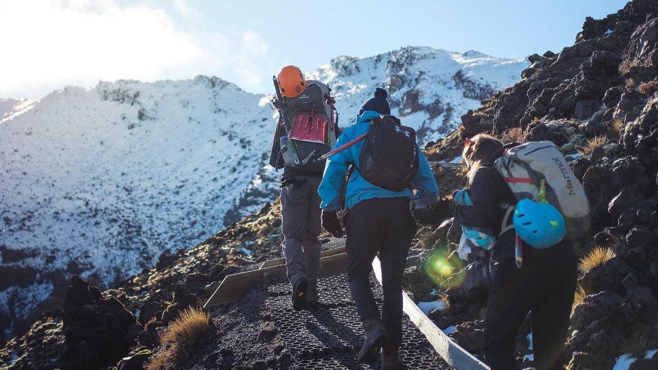
Winter is significantly different from normal summer walking. From May to late October, snow, ice, avalanche terrain and sub-zero temperatures can require specialist alpine skills, equipment and experience. Walkers without those skills should choose an appropriately qualified guided option.
Tongariro Alpine Crossing Difficulty and Fitness
The Tongariro Alpine Crossing is a challenging mountain day walk rather than a casual sightseeing trail. Walkers need sufficient fitness to cover 19.4 kilometres in around 6–8 hours, including sustained climbing, exposed alpine terrain, loose volcanic surfaces and a lengthy descent towards Ketetahi.
The climb towards Red Crater is one of the most physically demanding sections. The descent towards the Emerald Lakes also requires care because loose rock and volcanic scree can be slippery underfoot, while the later descent towards Ketetahi can be tiring on the knees.
You should be comfortable with:
- Walking for six to eight hours
- Completing a 19.4 km day hike
- Sustained uphill and downhill walking
- Uneven and loose terrain
- Carrying a day pack
- Walking in an exposed alpine environment
Good general fitness and regular walking experience are important. If possible, include hills and longer walks in the weeks before your trip.
The full Crossing is not suitable for everyone. Travellers who are unsure about their fitness, have limited hiking experience or do not want to commit to an entire day can choose one of the shorter guided walks within Tongariro National Park instead.
For detailed training, clothing, equipment and weather preparation, refer to our Tongariro Alpine Crossing hiking guide.
Getting to Tongariro National Park and the Alpine Crossing
The Tongariro Alpine Crossing is a one-way walk from Mangatepopo to Ketetahi, so transport should be arranged before the hiking day. Walkers typically stay in National Park Village, Whakapapa, Tūrangi, Taupō or another nearby base and use a shuttle to reach the Mangatepopo trailhead.
Shuttle services operate from towns and accommodation areas around Tongariro National Park. During the summer walking period, DOC advises that there is no parking at Mangatepopo for visitors completing the Crossing, making shuttle transport the simplest option.
There is a private parking area near the Ketetahi end that is used by some shuttle arrangements, but parking and transfer details should be confirmed with the selected operator.
The Crossing is also easy to include in a wider central North Island itinerary. Taupō and Tūrangi are convenient options to the north, while National Park Village and Whakapapa provide bases closer to the volcanic plateau. Travellers continuing south can connect the region with Ohakune and Wellington.
If you are taking a guided walk, transport may already be included or arranged as part of the experience.
Tongariro National Park has profound cultural and spiritual significance for Ngāti Tūwharetoa and other local tangata whenua, with the volcanic mountains understood as ancestral and sacred places. The relationship between people and landscape is fundamental to the identity of Tongariro and contributed to its international recognition as a cultural landscape.
In 1887, Horonuku Te Heuheu Tūkino IV enacted a tuku involving the volcanic peaks to protect and preserve the mountains. This became central to the creation and later development of Tongariro National Park.
The park was recognised for its outstanding natural values on the UNESCO World Heritage List in 1990 and gained recognition for its cultural landscape values in 1993.
Visitors are asked to recognise that the landscape is much more than a recreational setting. The maunga, lakes and waterways hold cultural significance, and respecting this relationship is an important part of visiting Tongariro National Park.
When walking through the park:
- Stay on formed tracks
- Respect cultural guidance and signage
- Avoid climbing sacred summits
- Do not swim in or enter alpine lakes
- Carry all rubbish out
- Use toilets provided along the route
- Avoid damaging alpine vegetation
Conservation work within Tongariro National Park also includes native-species protection, pest control, track management, fire management and visitor education.
By following local guidance and treating the environment respectfully, visitors help protect both the cultural values and natural landscape of Tongariro.
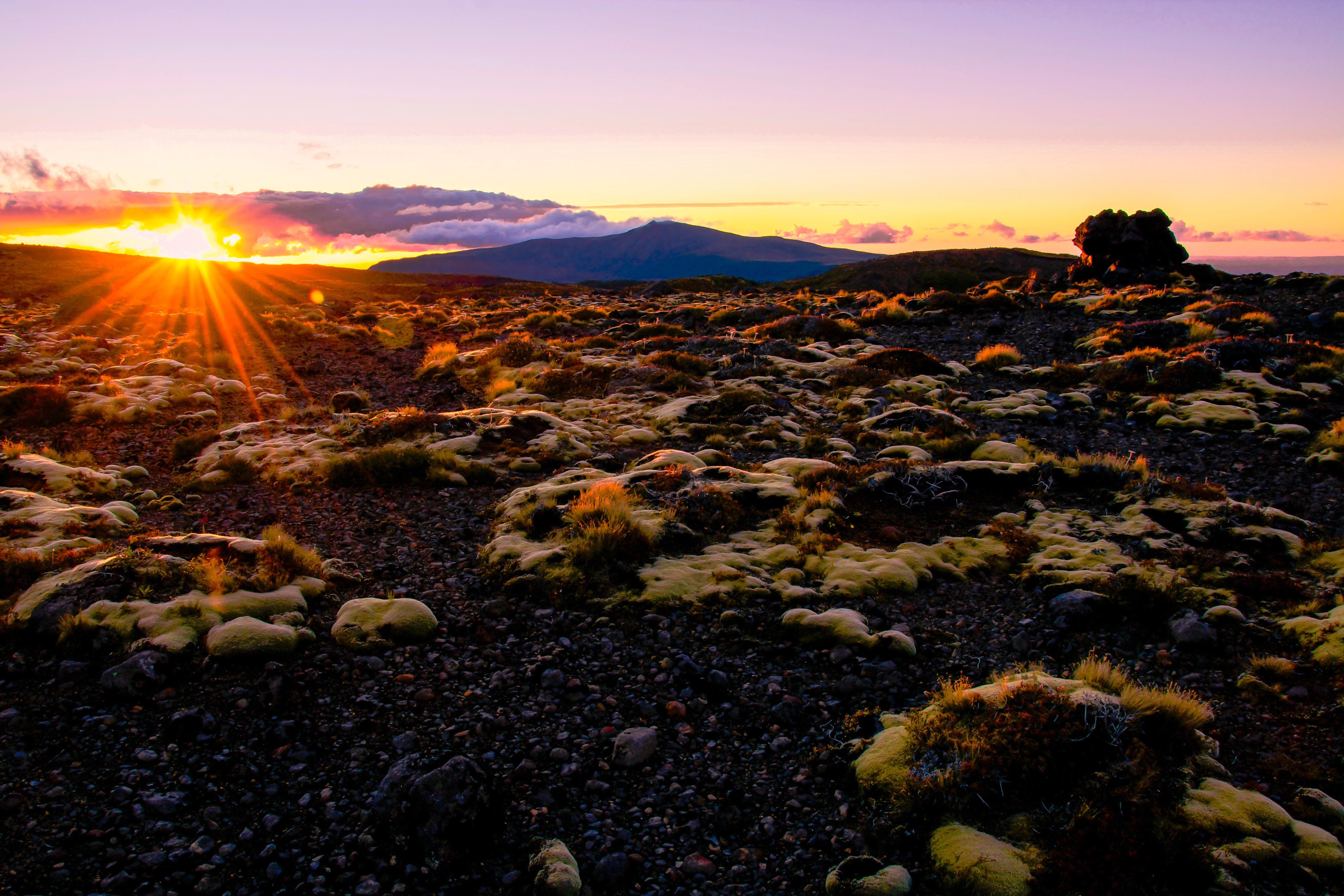
The Tongariro Alpine Crossing passes through a series of distinct volcanic and alpine environments, with vegetation changing noticeably as the track gains and loses elevation. Hardy tussocks and alpine plants survive around the exposed higher sections, while denser shrubland and forest appear as walkers descend towards Ketetahi.
The volcanic environment creates difficult growing conditions, including strong winds, low temperatures, exposed rock and relatively young volcanic soils. Plant life around the highest parts of the Crossing is therefore sparse compared with the lower sections.
As the track descends, the landscape becomes progressively greener and more sheltered.
Birdlife within the wider national park includes species such as:
- Tūī
- Korimako/bellbird
- Pīwakawaka/fantail
- Kererū
- Kārearea/New Zealand falcon
Kiwi are also present within the wider Tongariro National Park environment, although they are nocturnal and elusive and should not be expected as a normal sighting on the daytime Crossing.
The region also supports invertebrates adapted to the alpine environment, including wētā.
Introduced mammals such as possums and rabbits place pressure on native ecosystems, making ongoing pest management important to the park’s conservation.
Walkers can help by staying on the formed route rather than taking shortcuts across alpine vegetation. Even plants that appear hardy can grow slowly in this exposed environment and may take years to recover from trampling.