Search icon

South Island

Transfers and Shuttles Hiking & Walking

Experience Fiordland’s Trails from The Divide

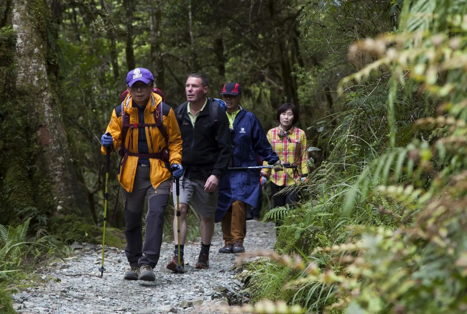
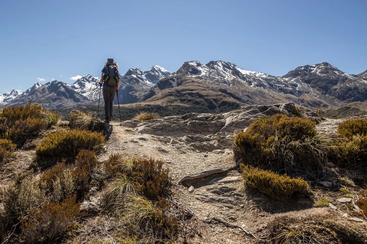
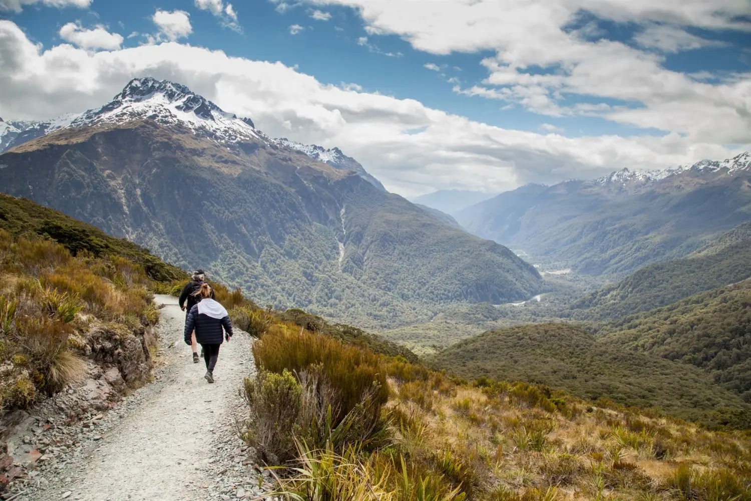
Located near Te Anau on the scenic Milford Road, The Divide sits at 532 metres above sea level and marks the starting (or ending) point for some of Fiordland’s most spectacular walks. It’s best known as one end of the famous Routeburn Track, a Great Walk of New Zealand that traverses mountain passes, valleys, and waterfalls.

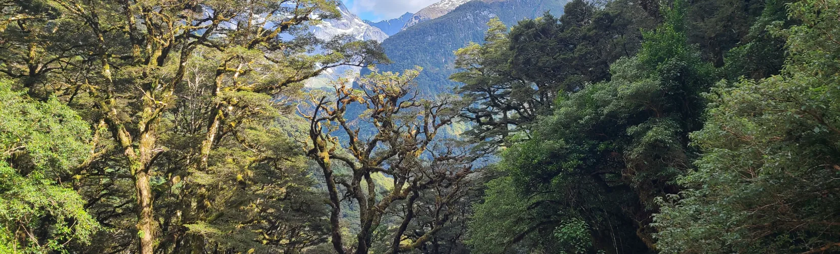
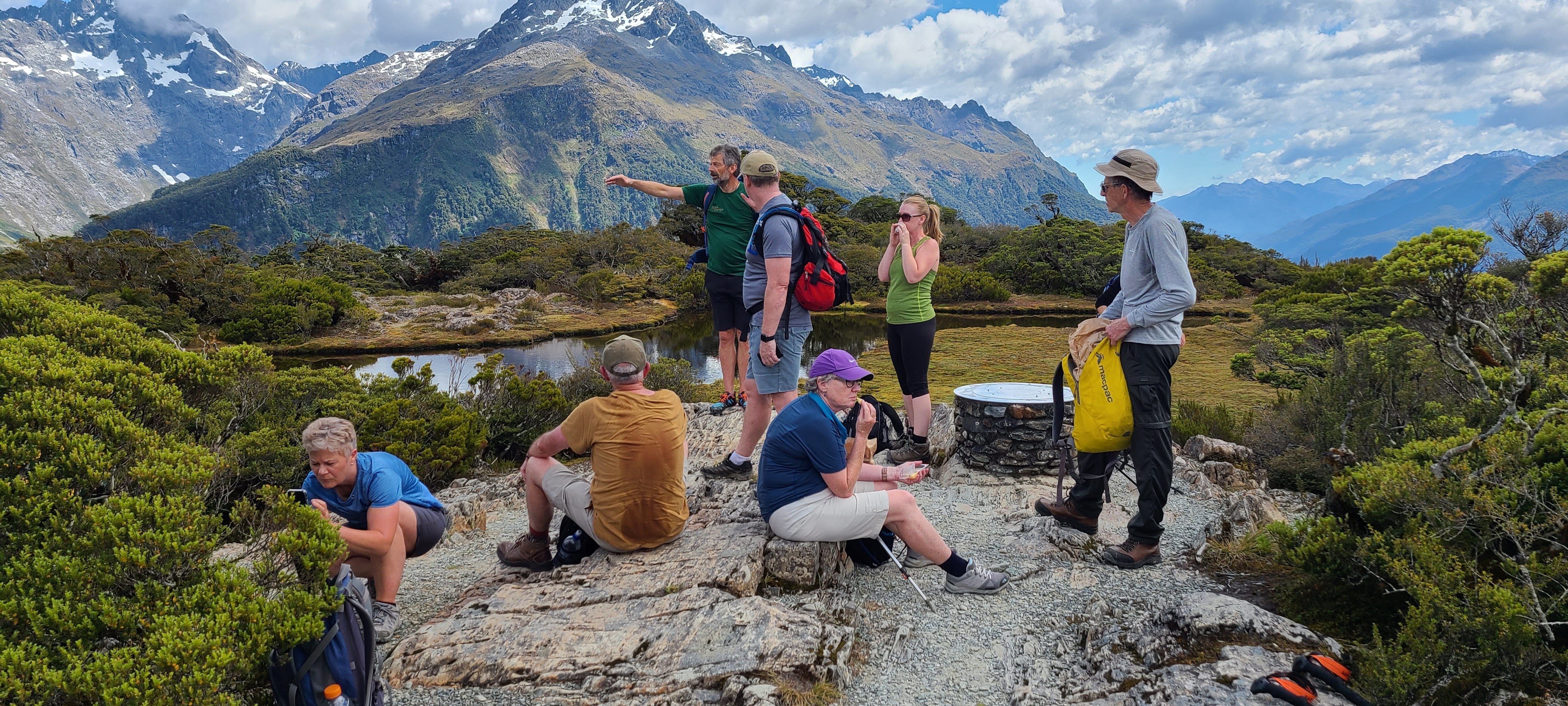
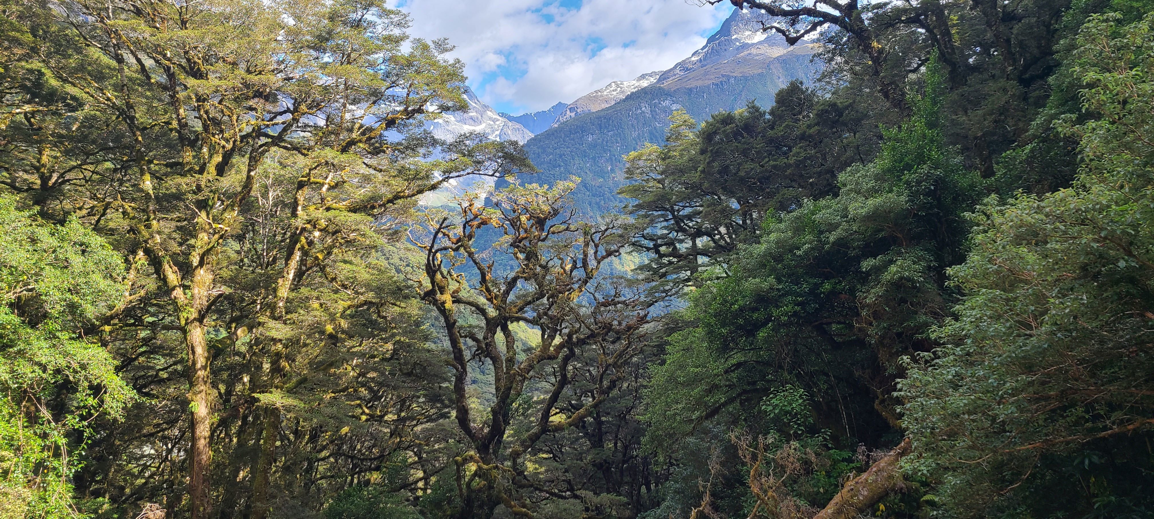
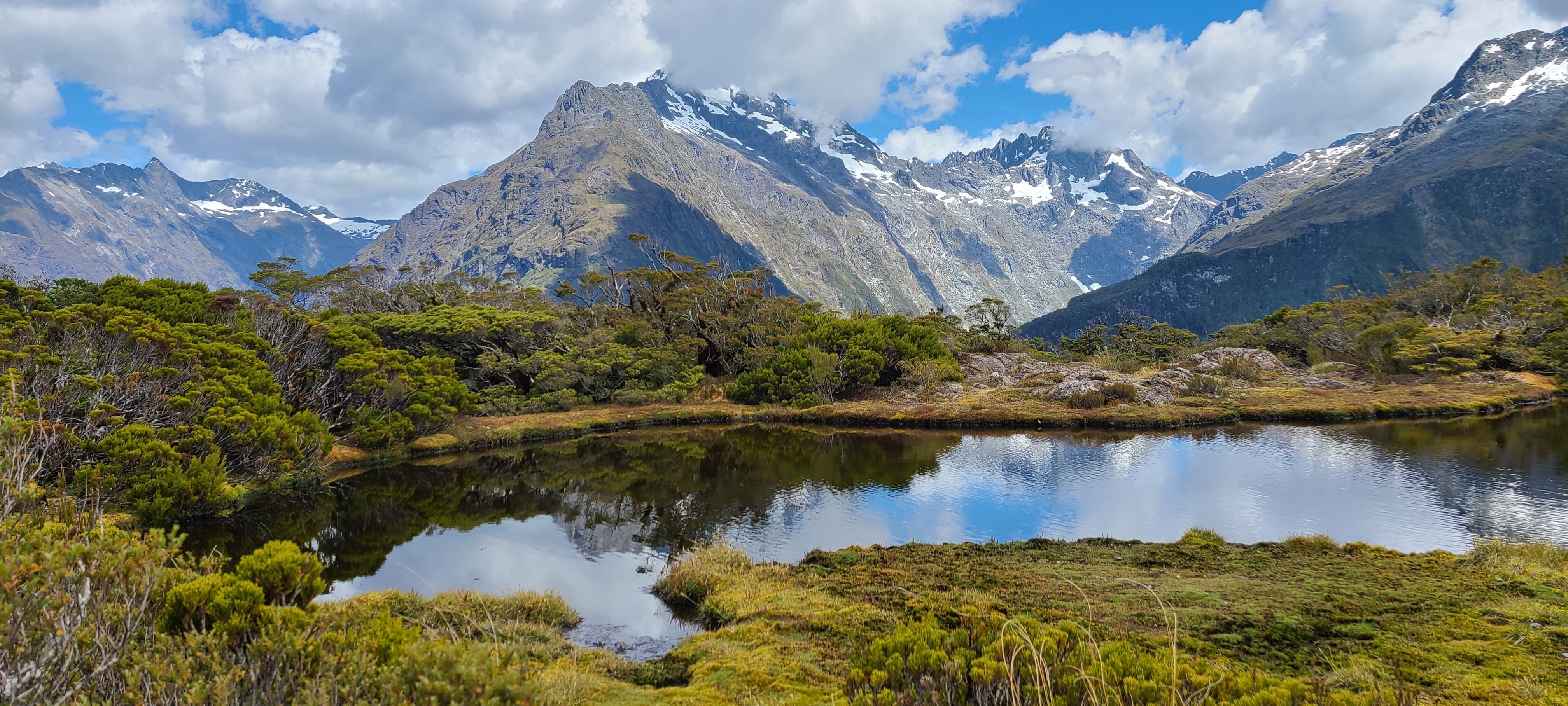
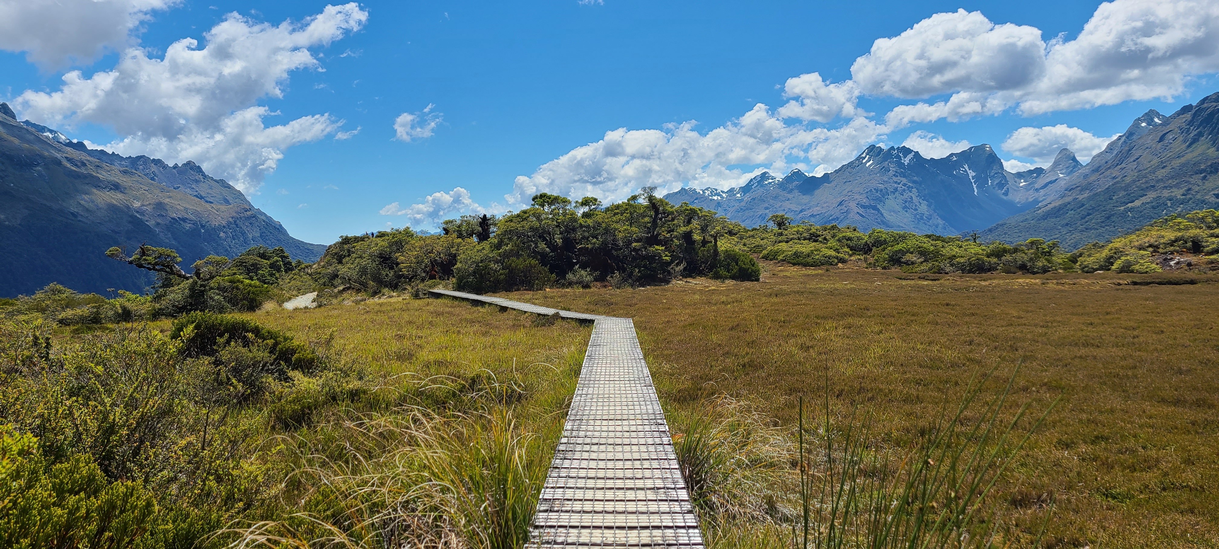
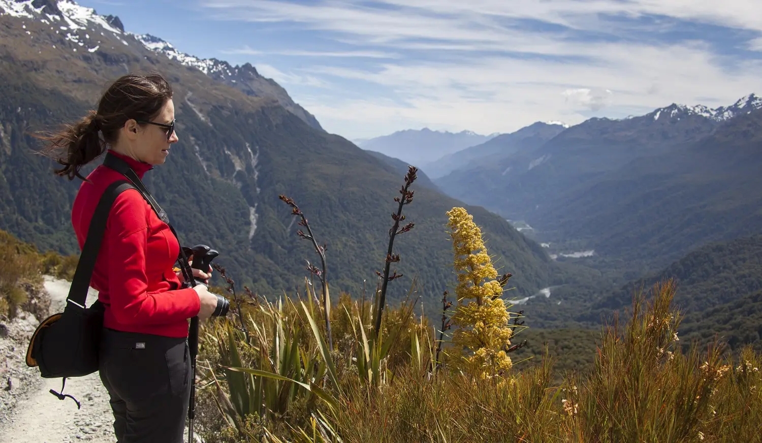
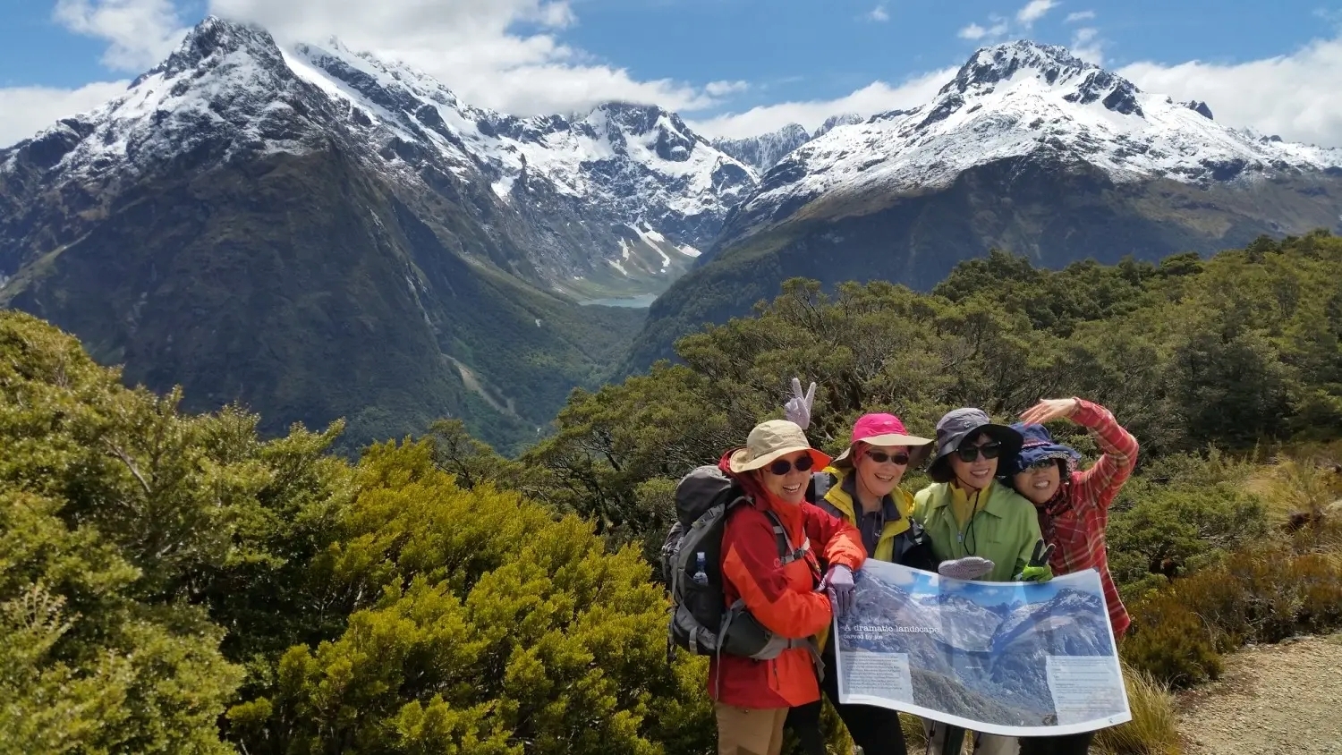
Another popular walk from The Divide is the Key Summit Track — a short return trail offering sweeping views of snow-capped peaks and native alpine gardens. Interpretive signs along the way add insights into the unique ecosystems and history of the region.

A Scenic Stop on the Milford Road Journey

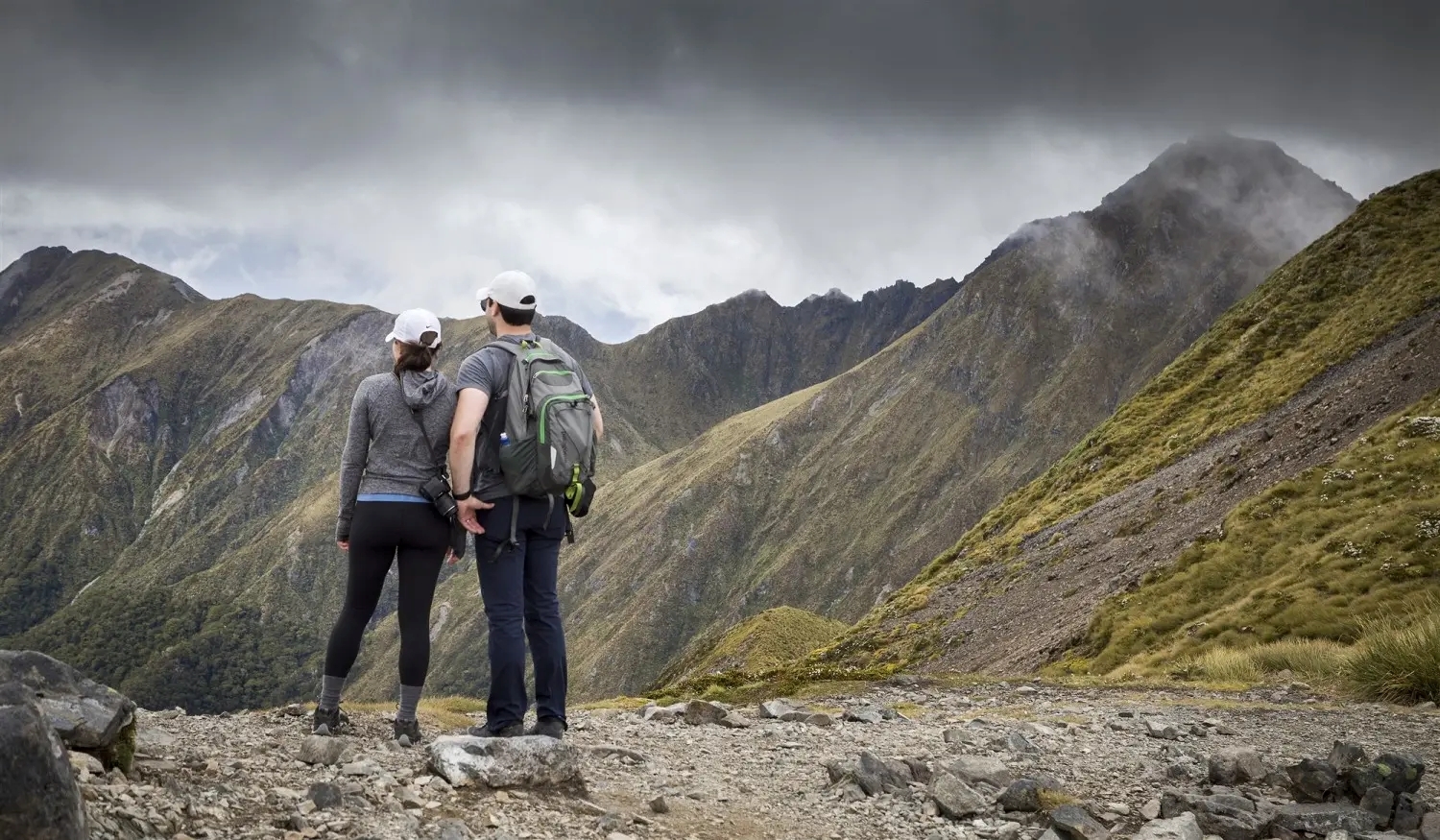
Whether you're planning a multi-day trek or simply exploring by car, The Divide is a worthy destination. Its forested trailheads and cool alpine air provide a refreshing contrast to the lower valleys below.

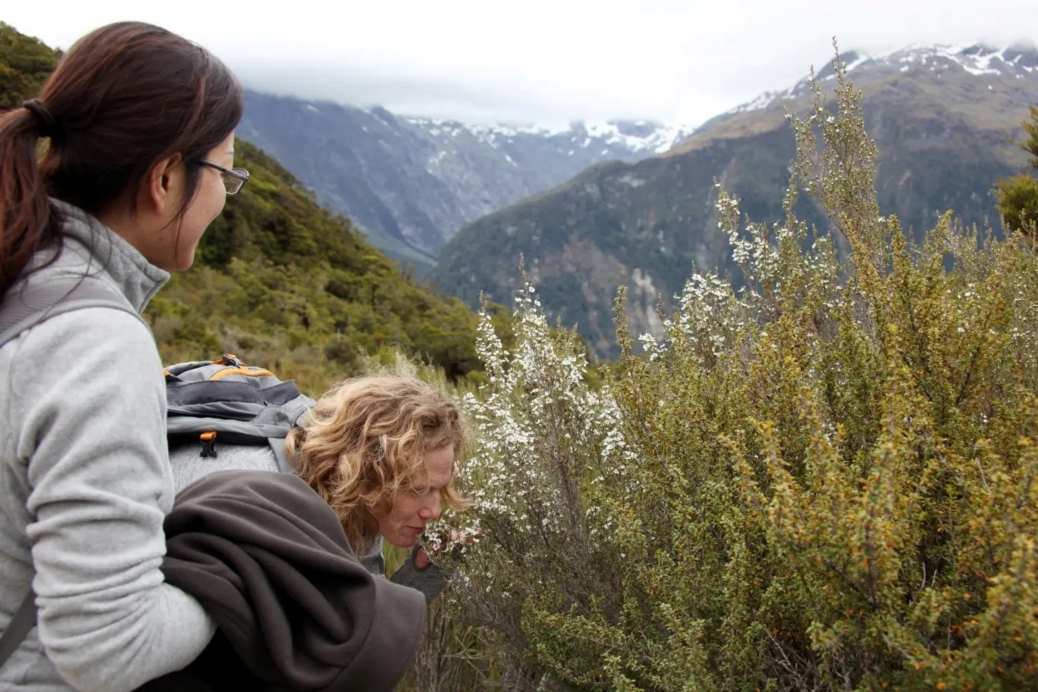
Many travellers stop here on their way to or from Milford Sound, enjoying a short walk and the chance to connect with Fiordland’s dramatic landscapes. Even a quick detour rewards you with unforgettable views and a taste of New Zealand’s wild backcountry.

Alpine lake at Key Summit on the Routeburn Track

Ready to Hike the Routeburn Track?

Experience one of New Zealand’s Great Walks — from alpine passes to lush valleys, the Routeburn Track offers unforgettable scenery in the heart of Fiordland and Mount Aspiring National Parks. Plan your adventure today.

Frequently asked questions

The Routeburn Track is a renowned 33-kilometre hiking trail in New Zealand's South Island, connecting Mount Aspiring National Park and Fiordland National Park. It showcases the beauty of the Southern Alps through alpine meadows, beech forests, and mountain passes. With stunning views of snow-capped mountains, lakes, and waterfalls, it offers an unforgettable outdoor adventure. It's a must-visit destination for nature enthusiasts seeking to experience New Zealand's natural beauty firsthand.

The Routeburn Track begins (or ends) halfway along the Milford Road, near The Divide, and extends to the Routeburn Shelter near Glenorchy, New Zealand.

The Routeburn Track is 33 kilometres long, which is approximately 20 miles.

Yes, it is possible to walk the Routeburn Track independently. Independent walkers have the option to stay in Department of Conservation (DOC) huts or tents along the track. However, it's important to note that during the Great Walks season (late October to late April), the track must be pre-booked, and bookings are essential for tent sites. Independent walkers will also need to arrange transportation, such as a bus or transfer service, as the track is not a circuit.

The Routeburn Track is near Glenorchy and Te Anau. Glenorchy offers various accommodation options and is located 45 minutes' drive from Queenstown. Te Anau is closer to the other end of the track and provides accommodation options near Lake Te Anau.

To access the Routeburn Track, you have two options:

Routeburn Shelter:

  • Location: About 25 km from Glenorchy.
  • Access: Travel along a partially unsealed road
  • Transportation: Arrange transportation from Glenorchy to Routeburn Shelter through transport operators.


The Divide Shelter:

  • Location: Approximately 85 km from Te Anau.
  • Access: Accessible via the Milford Road.
  • Transportation: Organize transportation from Te Anau to The Divide Shelter through transport operators.


Remember that transportation is necessary at both ends of the track as it is not a circuit.

Additional reading

Sign up to our newsletter for special deals & exciting news.